Elroy, Wisconsin
Looking for the best photography in Elroy? We've got you covered with the top trails, trips, hiking, backpacking, camping and more around Elroy. The detailed guides, photos, and reviews are all submitted by the Outbound community.
Top Photography Spots in and near Elroy
-
Reedsburg, Wisconsin
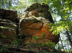
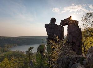
Hike the Echo Rock Trail
2 mi / 60 ft gainPark near the boat launch parking lot and follow signs for the "Echo Rock" trail. This trail will take you roughly 45 minutes round trip to complete from the parking lot. Well worth your time if you are already in the park as it is one of the best scenic areas and topographical landmarks that the...Read more -
Baraboo, Wisconsin
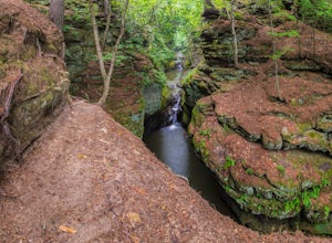
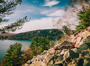
Explore Pewit's Nest State Natural Area
3.81 mi / 30 ft gainPlease note this warning from the park's website: Climbing on rock walls, cliff jumping or entering the closed area for any reason is prohibited, and violators will be subject to a $175 citation. Visitors are also prohibited from bringing in food or beverage or being on the property between 8 p.m...Read more -
North Freedom, Wisconsin
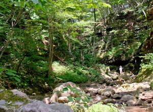
Hike the Natural Bridge State Park Loop
3.5 mi / 566 ft gainLocated in Wisconsin’s Driftless Region, Natural Bridge State Park includes 530-acres of oak and hardwood trees, small prairie remnants with grasses and cacti, ferns, and the rare goldenrod and purple cliffbrake. Wildlife in the park includes turkey vultures, pileated woodpeckers, and bald eagles...Read more -
Baraboo, Wisconsin
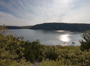
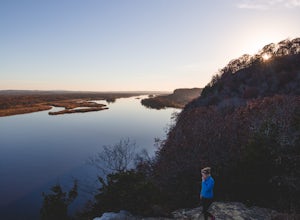
Camp at Devils Lake State Park
3.0Devil's Lake State Park has 29 miles of trail that vary in difficulty. The most popular trails are the East and West Bluff trails that circle Devil's Lake and offer some of the best views in the park. If you want a more relaxing day, head to the beach! It's a family-friendly spot that is the perf...Read more -
Baraboo, Wisconsin
Hike the East Bluff Trail to Devil's Doorway
4.82.4 mi / 500 ft gainThis hike begins at the east end of the North Shore Visitors' area. The hike starts relatively level before turning to the right and leading you up steps. The spectacular views come quickly on this hike as immediately after you reach the top steps you will be treated to your first glimpse of the ...Read more -
Baraboo, Wisconsin
Balanced Rock Trail at Devil's Lake
5.00.75 mi / 433 ft gainDevil's Lake is one of Wisconsin's most visited and most beautiful state parks, offering many trails, activities, gorgeous scenery and more. There are various trails to explore in the park, including the East Bluff Trail and the Potholes & CCC Trail Loop, as well as camping that's offered. T...Read more -
Merrimac, Wisconsin
Hike Parfrey's Glen
4.1Located next to the popular Devil's Lake State Park, Parfrey's Glen holds many of the same geographical features. Parfrey's Glen is unique, however, for the rock cliffs that tower over you on both sides as you make your way though the gorge.The mile hike from the trailhead to the glen requires so...Read more -
Sauk City, Wisconsin
Hike the Overlook Trail at Ferry Bluff State Natural Area
5.00.37 mi / 300 ft gainFive miles west from Sauk City lies another great natural area. According to the official website, it is about a 25-minute drive from Devil’s Lake State Park. There are a few trails you can take here at this park, they go up all of the bluffs in the area, the most popular one is Cactus Bluff. Fol...Read more -
Sauk City, Wisconsin
Hike Ferry Bluff State Natural Area
0.8 mi / 320 ft gainFerry Bluff is a 0.8 mile lightly trafficked, very steep out and back trail located near Sauk City, Wisconsin that features a river and is good for all skill levels. The trail is primarily used for hiking, walking, nature trips, and birding and is best used from April until October. The entire no...Read more -
Gibraltar Rock State Natural Area, Wisconsin
Gibraltar Rock Loop
5.01.5 mi / 322 ft gainStarting at the trailhead at the base of the hill, follow the paved asphalt path that ascends the backside of Gibraltar Rock. While the trail is paved all the way to the top, there are sections of it that are rather rough due to tree roots tearing the pavement up. There is also a slightly longer ...Read more -
La Crosse, Wisconsin
Photograph Grandad Bluff Overlook
5.0It is super easy to get to the Bluff. Park in the parking lot and follow the sidewalk the the Bluff just past the shelter house and giant flag. Grandad Bluff is a 600 foot bluff that overlooks La Crosse Wisconsin. It provided amazing panoramic views of The Mississippi River area. You can even vie...Read more -
La Crosse, Wisconsin
Hike to La Crosse Ridge
4 mi / 500 ft gainIt is easiest to park your vehicle in the Myrick Park parking lot versus your other options. The great thing about parking in that lot rather than along the road/neighborhoods is there is a trailhead right there (and it's free). You can begin hiking this short little trail, which will lead to and...Read more

