Wardensville, West Virginia
Looking for the best photography in Wardensville? We've got you covered with the top trails, trips, hiking, backpacking, camping and more around Wardensville. The detailed guides, photos, and reviews are all submitted by the Outbound community.
Top Photography Spots in and near Wardensville
-
Davis, West Virginia
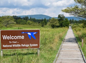
Freeland Boardwalk Trail
4.00.56 mi / 43 ft gainA free entrance and parking area for about a half dozen cars off Freeland Road features this quick adventure for all ages. The Canaan Valley National Wildlife Refuge and Freeland Boardwalk offers a variety of wildlife and environments like Ponds, Wetlands, Forests, and a natural limestone spring....Read more -
Seneca Rocks, West Virginia
Seneca Rocks Trail
4.73.12 mi / 784 ft gainSeneca Rocks is probably one of the best known landmarks in West Virginia. This iconic formation sits 900 feet above the North Fork River. I highly recommend anyone interested in taking a trip to West Virginia take some time to visit Seneca Rocks. These rock formations are really an amazing site....Read more -
Madison, Virginia
Fly Fish on the Rapidan River
5.05 miPark at the Graves Mill Parking Area. From here you can easily follow the Rapidan River up the mountain. Fishing reports inform that the lowest concentration of brookies are at the lower boundaries of the park so take some time to enjoy the trail and hike up stream. At the lower boundaries you mi...Read more -
Hinton, Virginia
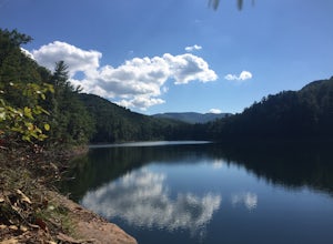
Camp at Switzer Lake
3.92 miDirectly off of Interstate 81, headed toward West Virginia on Rt 33 is a beautiful lake only known by the locals. Switzer Lake, named because Switzer Dam was placed on the Dry River years ago to aid Harrisonburg and the surrounding area with its increased need for drinking water. The lake is seld...Read more -
Harpers Ferry, West Virginia
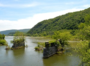
Hike Weverton Cliffs Overlook from Harpers Ferry
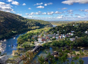
5.08.2 mi / 925 ft gainParking and trail head: Park at the Harpers Ferry Visitors Center for $10 (171 Shoreline Dr, Bolivar, WV 25425) and take the shuttle a mile and a half to lower town (free). Walk straight from the shuttle to the large bridge. Cross the bridge to hop on the C&O canal trail. This is the point w...Read more -
Harpers Ferry, West Virginia
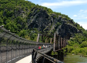
Hike Maryland Heights via Harpers Ferry
4.54.2 mi / 800 ft gainParking and trail head: Park at the Harpers Ferry Visitors Center for $10 (171 Shoreline Dr, Bolivar, WV 25425) and take the shuttle a mile and a half to lower town (free). Walk straight from the shuttle to the large bridge. Cross the bridge and take a left on the C&O Canal trail. You will s...Read more -
Stanardsville, Virginia
Hike South River Falls
4.54.4 miThe trail head for the South River Falls Trail is located at mile marker 63 off of Skyline Drive via the South River Picnic Area. Loop around the picnic area until you reach the Eastern corner where you will find a sign and a map marking the beginning of the 4.2-mile trail. Over the first mile...Read more -
Davis, West Virginia
Photograph Blackwater Falls
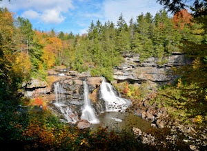
4.7Blackwater Falls State Park is a lesser known state park in northern West Virginia. The waterfall is easily accessible. From the parking area go to the back of the horseshoe (the parking area is shaped like a horseshoe) and follow the path and steps down into the gorge. If you're planning on visi...Read more -
Davis, West Virginia
Camp at Blackwater Falls State Park
5.0Blackwater Falls State Park is one of 36 state parks in West Virginia and is located just north of the Canaan Valley less than two miles from Davis, WV. Blackwater Falls State Park has over 2,000 acres, making it a great place to camp while you explore the beautiful area. The campground has 65 ...Read more -
Knoxville, Maryland
Hike to Maryland Heights
4.82.8 mi / 900 ft gainMaryland Heights is at the convergence of Maryland, West Virginia and Virginia, as well as the Potomac and Shenandoah Rivers. The Appalachian Trail and C&O Canal Towpath are also easily accessible from the trailhead parking lot. The parking lot holds about 16 cars and is between Locks 33 and ...Read more -
Knoxville, Maryland
Hike Maryland Heights Trail Loop
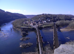
5.3 mi / 1600 ft gainLearn Civil War history as you hike through forts and read signs about the war. Enjoy beautiful lookouts, including one with a great view of Harpers Ferry. The 5.3 mile hike is relatively easy and offers an interesting opportunity to learn history in one of the most important historical areas i...Read more -
Davis, West Virginia
Explore Elakala Falls
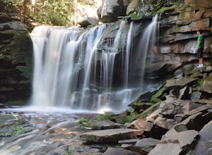
3.00.4 mi / 130 ft gainStarting at the Blackwater Falls Lodge, head to the left side of the parking lot, where a trailhead becomes visible. Follow the clearly marked trail down until you reach a bridge which goes over the top of the falls. After the bridge, look for paths to allow you to get to the river level and the ...Read more -
Davis, West Virginia
Take in the View at Pendleton Point Overlook in Blackwater Falls SP
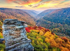
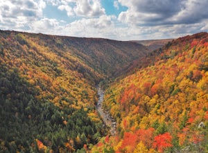
4.5Pendleton Point Overlook in Blackwater Falls State Park provides visitors with expansive views of Blackwater Canyon. The overlook is easily accessed via a short walk from the parking area and marks the widest and deepest point of the canyon. The wooden platform has tower viewers so visitors can...Read more -
Purcellville, Virginia
Explore Potomac Wayside Park
4.00.25 mi / 75 ft gainThis is a small park along route 340 in Purcellville, Virginia near Harper's Ferry. After you have parked, look for the park sign which will be a few feet behind you. There is a trail that will take you down to the bottom of the waterfall and eventually to the Potomac River. There is also a trail...Read more

