Danese, West Virginia
Looking for the best chillin in Danese? We've got you covered with the top trails, trips, hiking, backpacking, camping and more around Danese. The detailed guides, photos, and reviews are all submitted by the Outbound community.
Top Chillin Spots in and near Danese
-
Danese, West Virginia
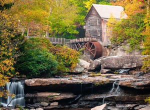
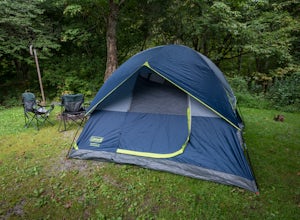
Camp at Babcock State Park
5.0Babcock State Park is one of 36 state parks in West Virginia and is located just Southeast of Fayetteville, WV. Babcock State Park has over 4,000 acres, making it a great place to camp while you explore the beautiful area. The campground has 51 campsites for tents and is open from the last week...Read more -
Layland, West Virginia
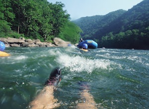
Raft the New River
5.0There are several rafting companies all which offer pretty much the same half day rafting packages. Each include lunch, a raft, a guide and a trip back to your car when it’s all said and done. The water here is very warm and you can swim, cliff jump, and swim down a few rapids. Enjoy the scenery ...Read more -
Princeton, West Virginia
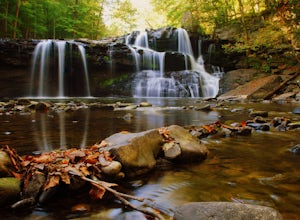
Brush Creek Falls
4.50.5 mi / 75 ft gainBrush Creek Falls is a beautiful 25' waterfall that spans across Brush Creek. It is accessed via a short 0.5 mile hike with minimal elevation gain. From the parking area on Brush Creek Falls Road, take the trail to the right of the picnic shelter. This easy and relatively-flat trail through rhod...Read more -
Pembroke, Virginia
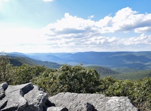
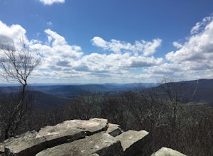
Hike to Wind Rock
4.70.5 mi / 400 ft gainAt the parking lot cross the gravel road to the trail head that starts at a map posted on the edge of the road. Hike a quick quarter-mile where you'll turn left to a large rocky outcrop with views of the blueridge. You'll pass a campsite with fire ring before the rocky outcrop and overlook. I've ...Read more -
Marlinton, West Virginia
Camp at Day Run Campground
5.0Located in West Virginia’s Monongahela National Forest about half way between Snowshoe and the Cranberry Glades makes this campground an ideal place to set up a base camp while you explore the surrounding area. It is located about five miles from Highland Scenic Highway (HW150), which makes it ju...Read more -
Ripplemead, Virginia
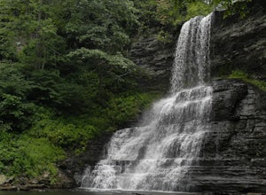
Cascade Falls
4.93.81 mi / 732 ft gainThe 66' Cascade Falls located in Giles Count is arguably one of the most beautiful waterfalls in Virginia. This classic hike is 4.0 miles and gains 800' in elevation. Located in Pembroke, Virginia, access the trail head by taking Cascade Drive (VA-623) off of US-460 and drive 3.3 miles to the p...Read more -
Craig County, Virginia
Hike to Kelly's Knob via the Appalachian Trail
4.34 mi / 500 ft gainThis is a great day hike for families or groups looking to get out for a short hike on the Appalachian Trail in Jefferson National Forest.From 460W Take Blue Grass Trail Rd then a left onto Clover Hollow Rd/State Route 601. Continue on this for 6.7 miles until you reaches an intersection with the...Read more -
Hot Springs, Virginia
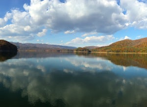
Backpack around Lake Moomaw
5.06.6 mi / 1200 ft gainOn your way to the trailhead don't forget to pull off the road at the scenic outlook to take in the vast expanse of Lake Moomaw (you won't miss it!).Start off your adventure by parking at the end of Twin Ridge Drive (37.976545, -79.985582). From this point, hike down the little paved driveway int...Read more -
Newport, Virginia
Fish Sinking Creek at Clover Hollow Queens Truss Bridge
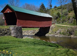
5.0Park alongside of the road at the bridge where 2-3 cars can fit. From here you can fish in Sinking Creek with a great view of this historic landmark. The majority of fish are native brook's and can be caught on a smaller 4-5 wt rod using dry flies.The covered bridge was built in 1916 and spans 70...Read more -
Newport, Virginia
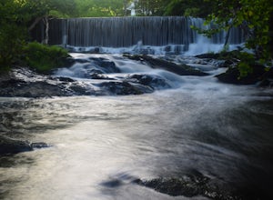
Photograph Sinking Creek Falls
5.0Park at the Clover Hollow Covered Bridge, and walk or bike 1/3 mile along Clover Hollow Rd in the direction of Blue Grass Trail Rd or to the pin dropped in the location below.When you can see the waterfall, carefully walk down the bank where you'll have perfect angles of the waterfall and surrou...Read more -
Newport, Virginia
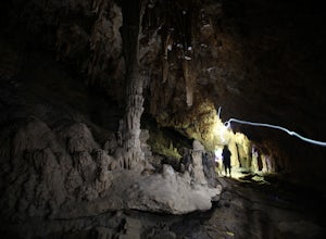
Hike through the New River Cave
4.72 mi / 332 ft gainAfter reaching the parking area, cross the road and continue up the trail for about 0.3 miles. At the kiosk, make sure to register in order to indicate that you are going into the cave. After passing the kiosk and some rocky portions of the trail, you will approach the cave entrance. The cave goe...Read more

