Verlot, Washington
Looking for the best photography in Verlot? We've got you covered with the top trails, trips, hiking, backpacking, camping and more around Verlot. The detailed guides, photos, and reviews are all submitted by the Outbound community.
Top Photography Spots in and near Verlot
-
Darrington, Washington
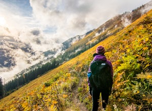
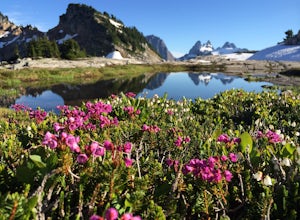
Hike to Green Mountain
8.5 mi / 3200 ft gainAfter the long drive down FR 26, turn onto FR 2680. 6 miles down the road, you'll see what slightly resembles a trail to your left. Park and prepare for your gorgeous hike!The trail starts with a 1.5 mile windy trek through the woods. You'll pop out onto the lush meadows of the mountain sides. He...Read more -
Leavenworth, Washington
Evergreen Mountain Lookout
4.52.88 mi / 1522 ft gainThis is a relatively short hike, at only 2.6 miles round trip, that takes you up to the nearly 5600 foot summit. The hike may be short but it is extremely steep, gaining 1300ft in the 1.3 miles to the summit, so be prepared for a good leg workout. On the way to the top you will walk through field...Read more -
Edmonds, Washington
Hike to Meadowdale Beach
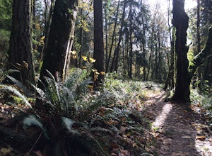
5.0If you plan to hike to this beach on the weekend, arrive early because the parking lot fills up fast. From the trailhead, hike down through an old forest along a stream to reach Meadowdale Beach Park. Take in the sounds of birds, wildlife, and the stream adjacent to the trail. At one mile you wil...Read more -
Skagit County, Washington
Sauk Mountain Summit 5,541'
4.34 mi / 1200 ft gainEven from the Trailhead, the views overlooking the Skagit River valley, all the way out toward Mount Vernon, are outstanding. The trail follows 20 tight switchbacks as it makes it's way 600 feet up to the southern crest of the summit ridge. This is a steep slope and it's possible to look straight...Read more -
Snohomish County, Washington
Hike Johnson Ridge to Scorpion Mountain
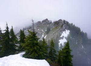
9 mi / 2650 ft gainFrom Skykomish, WA drive east on SR 2 roughly 1 mile and turn left on the Beckler River Road, FS RD 65. Drive north on this road approximately 7 miles taking a sharp right at the pavement's end just before crossing the Rapid River. You are now on FS RD 6520. Continue on this road bearing left a...Read more -
Mountlake Terrace, Washington
Kayak Lake Ballinger
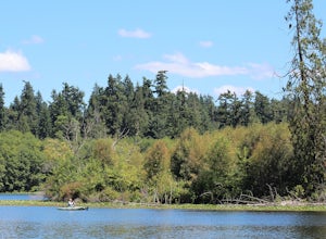
4.0Getting Here: Heading North on I5 from Seattle Center, take exit 178 for 236th Street SW and Lakeveiw Dr. Take a left on Lakeview Dr. and follow along for a half a mile before you see the Lake Ballinger Boat Ramp parking area on the left. There is a community park and rental facility on the noir ...Read more -
Skykomish, Washington
Beckler Peak
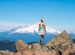
7.55 mi / 2139 ft gainLooking for a gradual forest hike up to a peak with 360° views of the Cascades? Beckler Peak trail winds through old growth, past rushing waterfalls, and up to a granite summit. From the top, you can see mountains in the Cascades such as Glacier Peak, Mount Baring, Mount Index, Evergreen Mounta...Read more -
Skykomish, Washington
Photograph the Foss River Trestle
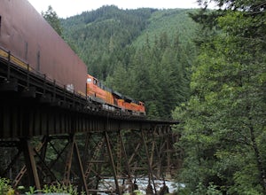
5.0Traveling east from Seattle on Highway 2, take a right hand turn onto Foss River Road (Road 68) just after the township of Skykomish. The pavement ends in 1.1 miles, beyond that be cautious of potholes. Continue along this road for a further 1.3 miles, at which point you will pass under a railroa...Read more -
Issaquah, Washington
Grand Ridge Trail
4.07.51 mi / 1125 ft gainThe trail system in the 1,300 acre Grand Ridge Park can currently can be accessed from two lots: High Point and Central Park, with a new lot at Duthie Hill still under construction. To get to the High Point lot take exit 20 off of I-90 (coming from Seattle), take a left and pass under the freewa...Read more -
Skykomish, Washington
Tank Lakes via Necklace Valley
18.94 mi / 4721 ft gainTucked high in the heart of the Alpine Lakes Wilderness, Tank Lakes has everything you could ask for out of a Washington hike. You start low at the Necklace Valley trailhead just south of Skykomish along Highway 2 and meander five miles to a giant log crossing of the East Fork Foss River. From h...Read more -
Leavenworth, Washington
Day Hike to Lake Valhalla
4.57 mi / 1500 ft gainThe Smith Brook trail starts off with several switchbacks, then continues up to Union Gap where it meets the Pacific Crest Trail. Turn south (left) at Union Gap and continue hiking until you reach the gap between Mount Lichtenberg and McCausland, where you get a first glimpse of Lake Valhalla.Jus...Read more -
Fall City, Washington
Ride to the Snoqualmie Railroad Trestle
2.3The best way to get the old railroad trestle is by using the Preston-Snoqualmie trail. There is a parking lot for the trail located just across from SE 56th Place, Fall City, Washington, 98024. After parking, hop on your bike and pedal east on the Preston-Snoqualmie trail for about 2 miles.The tr...Read more -
Mount Vernon, Washington
Explore the Flower Fields of Skagit Valley
4.3Skagit Valley is an important agricultural region of Washington State, but the prettiest time of year to attend is during the spring when flower season takes hold. Daffodils first, then tulips, and then irises bloom and cover fields as far as the eye can see. The Skagit Tulip Festival is held eve...Read more -
Snoqualmie, Washington
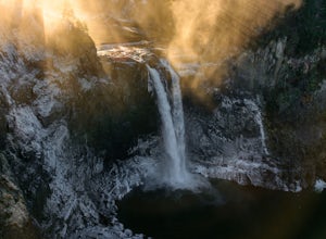
Snoqualmie Falls
4.21.4 mi / 509 ft gainSnoqualmie Falls is one of the most popular waterfalls in Washington. The waterfall is almost 270 feet tall and ranges in width all the way up to 150 feet when the water is really running. On sunny, warm days, it can be a little overrun with tourists. Figure out where you want to get your photo ...Read more -
Skykomish, Washington
Backpack from Dorothy Lake Trailhead to Snoqualmie Lake
18 mi / 1900 ft gainThe trail was not crowded although when we got to Snoqualmie Lake there were only a couple camping spots left. The trail up from Dorothy is not too hard at all. The weather was perfect. After passing Dorothy you have to ford a creek where the bridge has been washed out. We went through it on foot...Read more -
Marblemount, Washington
Hike to Monogram Lake
9.8 mi / 4500 ft gainOn a drizzly day, we set out to patrol Monogram Lake. Sore legs and thousands of feet later, we had the pristine lake all to ourselves with gorgeous fall weather and peek-a-boo views of the North Cascades.From Highway 20 in Marblemount, take Cascade River Road for 7 miles and look for a small par...Read more

