Stehekin, Washington
Looking for the best photography in Stehekin? We've got you covered with the top trails, trips, hiking, backpacking, camping and more around Stehekin. The detailed guides, photos, and reviews are all submitted by the Outbound community.
Top Photography Spots in and near Stehekin
-
Leavenworth, Washington
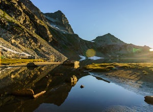
Backpack to Ice Lakes Basin
20 mi / 7600 ft gainBegin your adventure at the Phelps Creek Trailhead, roughly a 4 hour drive from Seattle. Make sure your car has good clearance and traction because the last section of the forest service road gets a little rough. Only a few minutes after starting down the trail, you will reach a split that head...Read more -
Leavenworth, Washington
Scramble Fortress Mountain
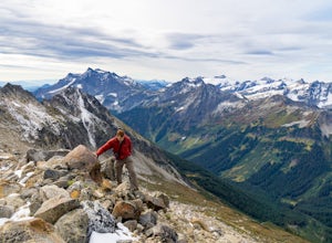
5.022 mi / 6000 ft gainThe Approach Starting at the Trinity trailhead you'll hike the Buck Creek Trail towards Buck Creek Pass. The trail is fairly obvious once the snows have melted but if you are going early season (June-early July) you will definitely want to bring a GPS. The trail works it's way up the valley alon...Read more -
Winthrop, Washington
Hike to Easy Pass
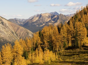
5.07.81 mi / 2844 ft gainIf you're looking for a beautiful fall hike with breathtaking views and acres of golden larches, this is it. This trail provides a good workout along with miles of photogenic scenery, including glacier views at the top, making the climb well worth the effort. Easy Pass is also (arguably) one of t...Read more -
Twisp, Washington
Patterson Mountain Loop
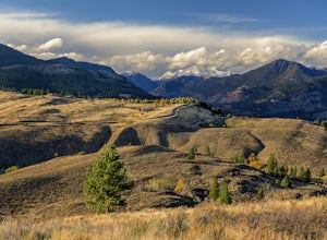
3.53 mi / 1112 ft gainThe Patterson Mountain loop is the perfect way for a beginner to intermediate hiker to get acquainted with the arid eastern slope of the North Cascades. This 3.7-mile lollipop with about 1100 feet of elevation gain showcases the open country of the high desert, blanketed with wildflowers in the s...Read more -
Skagit County, Washington
Sahale Arm via Cascade Pass
4.312.34 mi / 5230 ft gainTo get to this hike, go to Marblemount, WA. Then, drive ~23 miles east on Cascade River Road until the end, the Cascade Pass Trailhead. Even before you hit the trail, you'll get an amazing view of Johannesburg Mountain. Once you're ready to get going, the initial 3.7 miles of this hike to Cascad...Read more -
Skagit County, Washington
Pelton Basin Camp
8.82 mi / 2543 ft gainStarting at 3,640 feet elevation, the Cascade Pass Trailhead begins adjacent to the Johannesburg Camp and proceeds east along a relentless series of switchbacks. Though the trail is consumed by a thick Washington evergreen forest, the switchbacks frequently open to sweeping vistas of the far-reac...Read more -
Marblemount, Washington
Sahale Glacier Camp via Cascade Trailhead
5.011.09 mi / 4183 ft gainAs an initial note, to spend an overnight at Sahale Glacier Camp, you need to obtain a permit at the North Cascades Ranger Station in Marblemount, Washington. Permits are limited, so get there early or call in advance. To start, go to Marblemount, WA and then drive ~23 miles east on Cascade Rive...Read more -
Winthrop, Washington
Hike to the Tawlks Foster Suspension Bridge
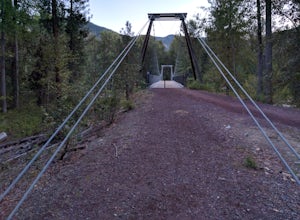
2 mi / 70 ft gainThe pin above is a small gravel parking lot which is clearly marked as "Trail Head" from the road. Once you park you are within eye shot of an information station and the trail is marked as "Suspension Bridge Access." Walk past this sign and continue on the well-groomed trail eastward for just sh...Read more -
Okanogan County, Washington
Mult-Pitch Climbing in the Methow Valley
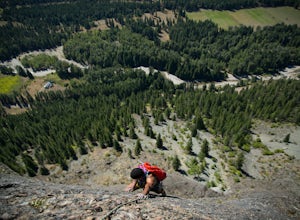
It's 2.7 miles from the store. Park on the left side of the road, cross the street and follow the cairned trail straight up the hillside.Tucked up in the Methow (the h is silent) Valley east of the North Cascades in Washington lies the beautiful and outdoorsy tiny little town of Mazama. Known for...Read more -
Marblemount, Washington
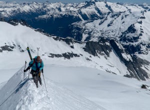
Climb Eldorado Peak via the East Ridge
8 mi / 6800 ft gainStanding on the knife edge summit, the terrain around you plummets steeply into glacier-filled basins that trickle into turquoise alpine lakes. Serrated snowy peaks give way to forest covered valleys below that craft a rugged landscape. Eldorado Peak delivers you atop this wild and mountainous wo...Read more -
Okanogan County, Washington
Hike to the Goat Peak Lookout
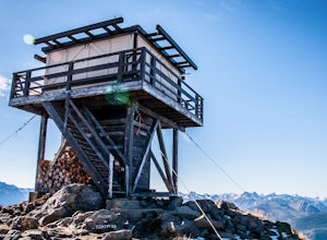
3.55 mi / 1400 ft gainWith fall coming quickly, that means larch fever. Views of the North Cascades, Methow Valley, and fall colors all at 7000 feet, doing the short hike of just over 2 miles up to the Goat Peak Lookout will not disappoint.The hike begins in a beautiful forest you'd expect too see at 5500 feet. The al...Read more -
Darrington, Washington
Hike to Green Mountain
8.5 mi / 3200 ft gainAfter the long drive down FR 26, turn onto FR 2680. 6 miles down the road, you'll see what slightly resembles a trail to your left. Park and prepare for your gorgeous hike!The trail starts with a 1.5 mile windy trek through the woods. You'll pop out onto the lush meadows of the mountain sides. He...Read more -
Okanogan County, Washington
Hike Tatie Peak and Grasshopper Pass
11 mi / 1800 ft gainDirection are from Mazama, WA. From Mazama drive west on the Lost River Road for approximately 19 miles to Hart's Pass. Note that the pavement ends around 7 miles from Mazama and the road becomes FS RD 54. The drive up to Hart's Pass is fairly exposed in one spot and has unnerved several of my ...Read more -
Winthrop, Washington
Pipestone Canyon Rim Trail Loop
8.77 mi / 1437 ft gainThe Methow Valley in north-central Washington is magical for myriad reasons—the dry powder and bluebird days of winter, the hot high-desert days of summer, stunning views of the North Cascades Mountains to the west; the list goes on and on. Adding to its mystique is the little-known Pipestone Ca...Read more -
Marblemount, Washington
Hidden Lake Lookout
4.97.39 mi / 3415 ft gainBe careful when heading up this 4.5 mile trail since there can be snow coverage into the summer. When you start the trail, you'll get a little tree coverage as you start climbing up. Unfortunately, the shade starts to dissipate after about a mile, where you'll cross over Sibley Creek and enter th...Read more -
Chelan, Washington
Chelan Lakeshore Trail
5.018.13 mi / 4478 ft gainMake Note: This adventure requires out-and-back travel via the 'Lady of the Lake' ferry from Chelan, Washington or Field's Point Landing on Lake Chelan. Schedules, fares, and reservations can be made at: http://ladyofthelake.com/ The route described herein utilizes the Lake Chelan Lakeshore Trai...Read more

