Ravensdale, Washington
Top Spots in and near Ravensdale
-
Ronald, Washington
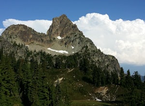
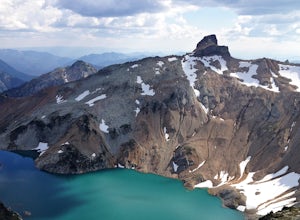
Hike Cathedral Rock and Mount Daniel
5.011.5 mi / 2300 ft gainHike easy switchbacks for almost 2 miles until the trail junction at elevation 4400 feet, then veer right onto trail #1345 toward Squaw Lake and Cathedral Rock. Pass by Squaw Lake on your left (a great place to take a short swim on a hot day) and stay on the trail until you reach another junction...Read more -
Ronald, Washington
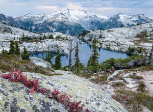
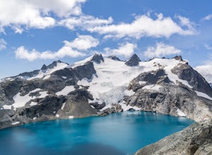
Tuck and Robin Lakes
4.313.94 mi / 4199 ft gainRobin Lakes have been coined "The Little Enchantments", and once you visit, you'll realize the nickname is strikingly accurate. But while the hike up is no Aasgard Pass, it's far from a walk in the park. When you leave the car at the end of the pothole-ridden Salmon La Sac forest service road, y...Read more -
Ronald, Washington
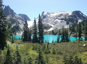
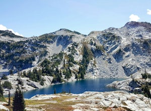
Marmot and Jade Lakes via Deception Pass Trail
5.020.29 mi / 4370 ft gainThe road in is passable with basically any vehicle, though there are some potholes to be avoided. Start at the Deception Pass Trailhead near the parking lot. There is a quick and easy 4.5 miles as you pass Hyas Lake, then you start climbing up to the trail junction for Tuck and Robin Lakes and th...Read more -
Ronald, Washington
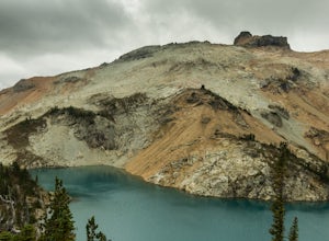
Backpack to Circle Lake, Alpine Lakes Wilderness
16 mi / 2800 ft gainStart at the Cathedral Rock Trailhead and start to head up the long switchbacks. After running into the Trail Creek trail, keep right heading towards Cathedral Rock and Squaw Lake. There are a couple nice spots around Squaw Lake, about 2.5 miles in, to stop and have a snack. Now head around the l...Read more -
Ronald, Washington
Climb Mt. Daniel via the Southeast Ridge
5.016 mi / 6000 ft gainFar from the iconic skyline of Seattle, on King County's Eastern boundary, is a lesser known natural skyscraper named Mt. Daniel. At 7960 feet plus, Mt. Daniel's true summit effortlessly juts into the sky as King County's tallest point.From Roslyn, head North for roughly 15 miles on Salmon La Sac...Read more -
Ronald, Washington
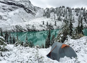
Winter Backpack to Jade Lake
4.022 mi / 4000 ft gainStarting at the Hyas Lake trailhead north of Cle Elum, it's a meandering easy hike through the woods for about 5.0 miles up to Deception Pass. You gain 1100 feet through this first five miles to the junction with the PCT. From here take a left to continue on the Lake Clarice Trail towards Marmot...Read more -
Ronald, Washington
Hike to Dip Top Gap
25 mi / 5000 ft gainThis is a great side trip from Backpacking to Marmot & Jade Lakes. Check out the Adventure linked above for directions on how to get as far as Jade Lake. I would recommend 2 nights at either Marmot or Jade to allow for a full day of exploration from your camp. From Jade what is described be...Read more -
Ronald, Washington
Trail Run to Robin Lakes
17 mi / 4100 ft gainStarting Elevation: 3400 Feet Ending Elevation: 6178 Feet Round Trip Run: 17 Miles Total Elevation Gained for the Day: 4100 FeetIt's best to drive to the trailhead the night before and camp out (I slept in my Jeep to get an early start on the next morning). The parking lots are jammed full on the...Read more -
Ronald, Washington
Kayak at Cle Elum Lake
We launched our kayaks from Speelyi Beach right into Cle Elum Lake. Surrounded with views of the beautiful Cascades and the Cle Elum Dam on the northwest side, exploring is endless. Parking: There is a small parking lot at the top of Speelyi Beach or you can drive right onto the beach to launch ...Read more -
Lewis County, Washington
Hike Indian Bar - Cowlitz Divide via Box Canyon
14.64 mi / 4235 ft gainThere are multiple ways to access Indian Bar. This one starts at Box Canyon. From the parking area at Box Canyon walk across the road and follow the signs for Wonderland Trail. Head up the Wonderland trail through the trees to the split with the Cowlitz trail. Continue on the Wonderland Trail...Read more -
Ronald, Washington
Sprite Lake via Paddy-Go-Easy Pass Trail
6.5 mi / 2923 ft gainThe Trail Begin backpacking the Paddy-Go-Easy Pass Trail (#1595) through dense spruce forests with riparian undergrowth. The trail will switchback and climb steadily across dry meadows filled with wildflowers, and you'll have increasing views westward of Mount Daniel, Mount Hinman, and Cathedral...Read more -
Lake Stevens, Washington
Water and Snow Ski Stevens to Stevens
5.0Have you ever dreamed of snow skiing and water skiing in the same day? This March, plan your adventure of a lifetime to Stevens Pass and Lake Stevens, Washington. You will need a winter coat, a wet suit, and a heart made of love for the outdoors.Keep an eye on mountain and lake weather conditions...Read more -
Packwood, Washington
Hike the Grove of the Patriarchs
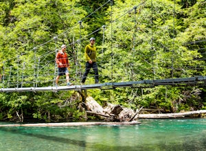
3.01.5 miThis trail is an easy trail to hike to the end and back. With very little to no elevation gain, some comfy shoes is all you need. There is a great opportunity near the start of the trail to walk down onto the beach and get right next to the river. Shortly after that there is a suspension bridge t...Read more -
Packwood, Washington
Canyoneering Olallie Creek, Mt. Rainier
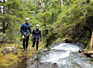
2.5 mi / 700 ft gainDisclaimer: Canyoneering is a dangerous and technical activity. Don’t enter any canyon without the skills to match it, or the knowledge to navigate it. Be sure to check the flow of Olallie creek to ensure that it's safe. In an area where canyoneering isn’t hugely popular, here lies a canyon that ...Read more -
Packwood, Washington
Hike Tatoosh Ridge from Tatoosh Trail #161
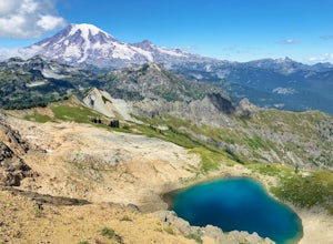
12 mi / 4100 ft gainAt the trailhead kiosk be sure to get one of the provided (and required) self-serve Wilderness Permit. Starting at the trailhead begin your initial accent following the marked trail on the side of the road. In the first two 2.5 miles you will climb 2,745 feet, it's hard but luckily a majority of ...Read more -
Gold Bar, Washington
Greider Lakes Trail
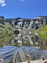
8.5 mi / 2054 ft gainGreider Lakes Trail is an approximately 8+ mile hike out-and-back from the trailhead, which is labeled after a long drive up a gravel road. First 2 miles are flat, next 3 are switchbacks up. Once you reach the first larger lake, keep going! The second one is also gorgeous. This is a beautiful hik...Read more

