Quincy, Washington
Looking for the best photography in Quincy? We've got you covered with the top trails, trips, hiking, backpacking, camping and more around Quincy. The detailed guides, photos, and reviews are all submitted by the Outbound community.
Top Photography Spots in and near Quincy
-
Quincy, Washington
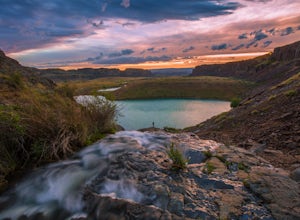
Ancient Lakes via Judith Pool
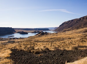
3.64.44 mi / 558 ft gainAll around you, waterfalls pour over cliffs as you gaze upon colorful lakes. If you're lucky, a coyote scampers by through a patch of wildflowers – it's just another beautiful day in the Ancient Lakes basin, a gem tucked along the Columbia River Gorge in Central Washington. From the parking lot,...Read more -
Quincy, Washington
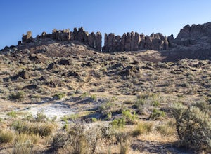
Adventuring in the Frenchman Coulee
5.0Occupying a cluster of desert canyons and mesas perched atop the cliffs overlooking the eastern bank of the mighty Columbia River, the Frenchman Coulee is a rock climber’s paradise. Featuring dozens of world-class sport and trad routes, both single- and multi-pitch, the climbing around Vantage li...Read more -
Quincy, Washington
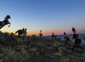
Catch the Sunset at Wild Horse Monument
4.00.4 mi / 150 ft gainIf you're traveling along Hwy 90 in the middle of Washington State, the Wild Horse Monument is a fun and rather quick area to explore. Located 30 miles east of Ellensburg and 60 miles northwest of Yakima, the monument is located just across the Columbia River as you head east. As you drive, there...Read more -
Wenatchee, Washington
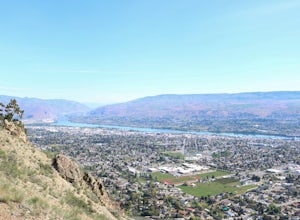
Hike to Saddle Rock
3.02 mi / 920 ft gainStarting from the south end of Wenatchee, hike straight up the obvious wide trail to the south side of Saddle Rock. You'll wind around the iconic rock feature and approach it from the back. A short and steep hike will reward you with wide open views of the Wenatchee Valley as you crest the hill...Read more -
Soap Lake, Washington
Lenore Lake Caves Hike
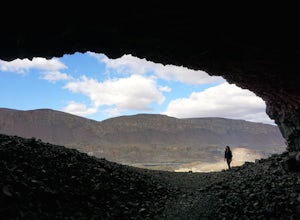
3.8Have you ever explored the ancient caves of the Washington Palouse? Just off of highway 17 near Coulee City the Lenore Lake Caves are a perfect day hike experience. These caves were formed when the area was flooded 12,000 years ago by melting ice. You have to see them for yourself!The trail im...Read more -
Wenatchee, Washington
Stroll through Ohme Garden
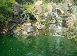
This is a great place to take a stroll and stretch your legs. With waterfalls and other beautiful scenery, definitely make a stop here if you find yourself in the area. No pets allowed.Read more -
Wenatchee, Washington
Drive Up Burch Mountain
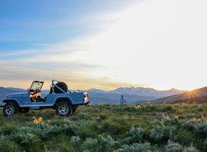
At the north end of the Wenatchee Valley, drive up Burch Mountain Road until it turns into dirt. It is closed in the winter and early spring due to snow, so make sure it's open before you go. Once you start driving, the mountain is your playground. Go all the way up to the trees or stop just h...Read more -
Coulee City, Washington
Umatilla Rock Trail
2.66 mi / 184 ft gainWhile you probably won't accidentally find yourself out here, this is definitely an area to become acquainted with. This otherworldly landscape sits at roughly the halfway point for a fifty-mile stretch of the earth referred to as the Coulee Corridor. This land is a prime example of the sheer pow...Read more -
Ellensburg, Washington
Hike the Rattlesnake Dance Ridge Trail
4.72.6 mi / 1350 ft gainStarting at an elevation of 2050 feet and immediately off the gravel parking lot to the side of Canyon Road, begin the uphill charge on the vast, empty Rattlesnake Dance Trail. A few steps in, the tone will be set as to what you are up against.Although less than a mile and a half in distance, do ...Read more -
Ellensburg, Washington
Hike Umtanum Creek Canyon
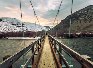
4.53 mi / 500 ft gainPark your vehicle at the Umtanum Creek Canyon Recreation Area. Be aware that from mid-May to mid-September there is a $5.00 per vehicle, per day parking fee since the land is owned by Bureau of Land Management.Grab your gear and head for the swinging suspension bridge that will lead you over the ...Read more -
Peshastin, Washington
Hike Sauer’s Mountain
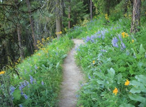
4.06 mi / 2000 ft gainSauer’s Mountain is one of those well defined, moderate, and rewarding hikes that give you just the right amount of views for the effort, but the real treat is catching the wildflower bloom in mid-May. The trailhead is located on private property. Start by parking along the private drive and walk...Read more -
Cle Elum, Washington
Backpack to Navaho Pass
12 mi / 4220 ft gainThis is a beautiful trail in the Teanaway area, located in Washington State. The trailhead starts along the Stafford Creek Trail and follows the creek for the first couple miles of the trail. There are a number of different types of wildflowers out here that make the first few miles a nice warmup...Read more -
Leavenworth, Washington
Winter Camp at Nada Lake
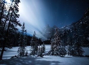
10.6 mi / 3800 ft gainBeing one of the lucky recipients of an Enchantments overnight permit can't happen for everybody. So, for the rest of us, taking to the mountains in the winter is an awesome way to bypass this system and experience the central Cascades in a completely different, colder way. The suffering is almos...Read more -
Leavenworth, Washington
Climb Prusik Peak's West Ridge
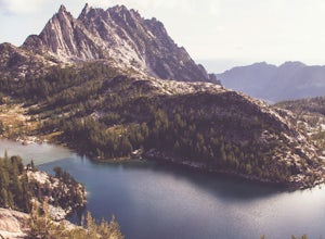
18 mi / 5000 ft gainThe Enchantments are an amazing experience in themselves. Yet one of the most striking features of any hike into the core zone of the Enchantments is that of Prusik Peak. This pyramid like spire rises dramatically from the many puddle lakes and boulder fields you pass along your way. With it's...Read more -
Leavenworth, Washington
The Enchantments: Leprechaun Lake via Snow Lake Trailhead
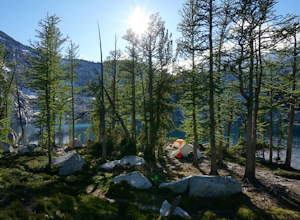
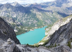
4.719.57 mi / 5948 ft gainThe Alpine Lakes Wilderness named “The Enchantments” draws explorers from all over the world. On a four day backpacking trip you can take day trips from camp to explore over a dozen crystal clear lakes, summit surrounding peaks, and camp at an alpine lake of your choice! Before you set out to c...Read more -
Leavenworth, Washington
The Enchantments Mountain Run
5.018 mi / 6000 ft gainAt the Snow Lake Trail, you start at a elevation of 1400 feet and run up to Nada Lake 5000 feet at 5.6 miles. From here, you make your way to Lower and Upper Snow Lake, 2.2 miles. There are a lot of campsites in this area, but you have to apply to stay the night at these lakes. You will need to...Read more

