Washington
Looking for the best photography in Washington? We've got you covered with the top trails, trips, hiking, backpacking, camping and more around Washington. The detailed guides, photos, and reviews are all submitted by the Outbound community.
Top Photography Spots in and near Washington
-
Deming, Washington
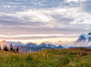
Hike Skyline Divide
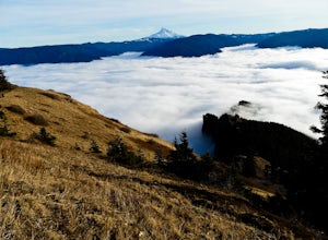
5.09 mi / 2500 ft gainIf driving 13 miles on a forest road, and hiking miles of switchbacks doesn't bother you, your in for one of the most exquisite views that you can get from hiking in Washington state.Just a mile outside of the town of Glacier, turn onto Forest Road 37 and follow it up switchbacks for the majority...Read more -
Port Angeles, Washington
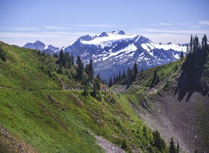
High Divide and 7 Lakes Basin
5.019.93 mi / 5056 ft gainA day spent plying the trails of the High Divide in Olympic National Park changes an outdoorsman. This moderate to strenuous loop boasts the best views on the peninsula, a chance to see foraging black bears and abundant deer, stunning waterfalls and marvelous old growth forests. By the time you f...Read more -
Gold Bar, Washington
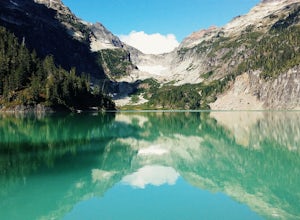
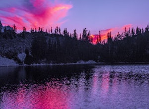
Blanca Lake
5.07.42 mi / 3540 ft gainAlthough the drive to the trailhead is mostly over gravel roads, Blanca Lake is a very popular hike. The drive is better for cars with clearance and AWD capabilities. The trail gets right down to it gaining almost 3,000 feet in the first 3 miles. But don't worry, the hard work is well worth the...Read more -
La Push, Washington
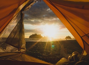
Camp at First Beach
5.0La Push is an absolutely magical place to stay. Experience the tranquility and natural beauty of the rugged coastline of the mighty Pacific. It's a wonderful place to walk on the beach and take photos, especially of the offshore islands, enormous driftwood, and sunsets. Lots of resident seals, bi...Read more -
North Bonneville, Washington
Table Mountain via Aldrich Butte Trailhead
4.716 mi / 3350 ft gainHike up into the forest (take the right path, not the one going left), and follow it all the way until you get to "Carpenter Lake" (which always seems to be just an empty, marshy field). Keep going and do not take the right path at the first Y split off. Instead, stay left, until you come to anot...Read more -
Port Angeles, Washington
Marymere Falls
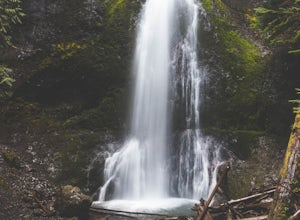
4.31.93 mi / 531 ft gainMarymere Falls (90 ft.) is located in Olympic National Park, near Lake Crescent. The falls can be accessed by a short, well-maintained dirt trail through old-growth lowland forest consisting of fir, cedar, hemlock, and alder trees. The creek descends from Aurora Ridge and tumbles over Marymere Fa...Read more -
Amboy, Washington
Siouxon Trail to 14 Mile Falls
5.013.03 mi / 2310 ft gainWhen you park at the top of the trail, all you see is layers and layers of emerald trees and ground clear of any underbrush. Once on the trail, you start on a rapid decline that brings you to the first of the many streams along this hike. Cross the bridge made out of logs and head towards the ma...Read more -
Quincy, Washington
Ancient Lakes via Judith Pool
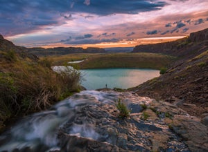
3.64.44 mi / 558 ft gainAll around you, waterfalls pour over cliffs as you gaze upon colorful lakes. If you're lucky, a coyote scampers by through a patch of wildflowers – it's just another beautiful day in the Ancient Lakes basin, a gem tucked along the Columbia River Gorge in Central Washington. From the parking lot,...Read more -
Oak Harbor, Washington
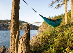
Camp & Hike at the Deception Pass Headlands
5.05 miTHE TRAIL: On the north side of the bridge, you'll come across Rosario Rd. Take this down to the Bowman Bay parking lot and your trailhead begins here. Take a moment to walk out on the fishing pier or watch what people are catching before you continue south on the trail towards Lottie Bay/Lightho...Read more -
North Bend, Washington
Gem Lake, WA
4.710.4 mi / 2923 ft gainThis hike shares the trailhead for Snow lake at the Alpental Ski area in Snoqualmie Pass. You'll start out with a great warm up, walking through dense green underbrush and a brief wooded area. Before too long the trail increases in inclination slightly and begins to offer up some small rocky sect...Read more -
Randle, Washington
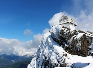
Hike to High Rock Lookout
5.03.2 mi / 1365 ft gainHigh Rock Lookout is aptly named. Perched at 5,685' on a slab of rock, it has sweeping views of the valleys below, Cora Lake, and Mount Rainier. Although it is only a short 1.6 mile hike to the top, it is a steep one. You gain 1,365' to reach the lookout, but the reward is grand.The trail follows...Read more -
Arlington, Washington
Boulder River Trail
4.38.12 mi / 1424 ft gainBoulder River is a great outing for those days when you feel like you just need a good hike through the forest. This makes for a nice long day hike, but because both of the large waterfalls are within the first half of the trail, you can still see the falls without going the whole way. One of the...Read more -
Skamania County, Washington
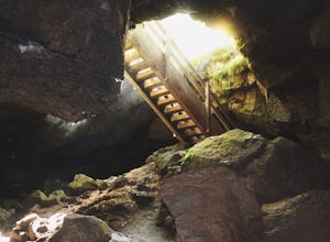
Camp Forlorn Lakes & Explore Guler Ice Cave
Camp at scenic and easily-accessible Forlorn Lakes, where the 25 campsites ($10/night) are both isolated and roomy. Sites have a picnic table and fire ring and provide access to the series of lakes, as well as the East Crater Trailhead which leads into the Indian Heaven Wilderness.Nearby, explore...Read more -
Woodland, Washington
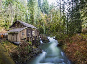
Explore the Cedar Grist Mill
3.6After parking in the lot near the mill, walk across the bridge. This is the first good viewpoint for photography. Next, I recommend walking under the bridge, this is my favorite spot for taking photos. The whole area is free to walk around, you can even walk in the mill and then walk up stream do...Read more -
Bow, Washington
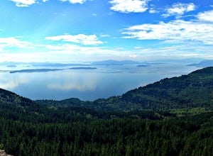
Oyster Dome via Chuckanut Trail
4.36.57 mi / 1857 ft gainThe trail begins on the Pacific Northwest Trail, which ascends quickly up the side of Blanchard Mountain. The trail contains several switchbacks which wind through second-growth alder, Western red cedar, and Douglas fir forest. After about one mile there is an overlook with a bench that offers a...Read more -
Mason County, Washington
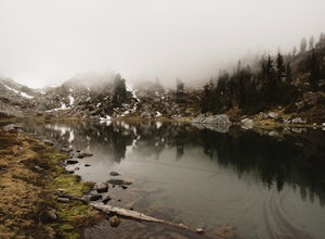
Hike to Lake of the Angels
5.06.75 mi / 3599 ft gainThe trail up to Lake of the Angels, known as the Putvin Trail, starts out pretty mellow with a gradual uphill climb. Your first marker will be an old roadbed at around 1.4 miles, but you'll need to cross two ravines before making it there. It's thick forest with gorgeous views in the clearings, s...Read more

