Washington
Looking for the best photography in Washington? We've got you covered with the top trails, trips, hiking, backpacking, camping and more around Washington. The detailed guides, photos, and reviews are all submitted by the Outbound community.
Top Photography Spots in and near Washington
-
18113 Upper Hoh Road, Washington
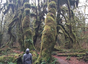
Hoh Rainforest and Hall Of Mosses
4.51.04 mi / 203 ft gainStarting at the Hoh Rainforest Visitor Center, take the only trail out into the forest itself. After a few hundred yards there will be a sign pointing you in the direction of the Hall Of Mosses. Follow signs and a very well-maintained trail over crystal clear creeks and fallen trees until you r...Read more -
Snoqualmie, Washington
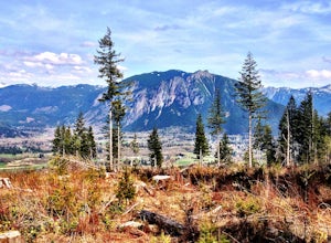
Rattlesnake Mountain Trail
4.010.54 mi / 2664 ft gainThe Rattlesnake Mountain Trail is often associated with Rattlesnake Ledge, one of the busiest hiking destinations around. But most people don't know that you can continue on from Rattlesnake Ledge another 10 miles to Snoqualmie Point Park. Using the Snoqualmie Point Trailhead, this hike is a wo...Read more -
Edmonds, Washington
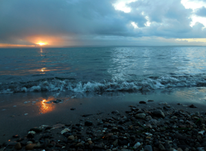
Hike to Meadowdale Beach
5.0If you plan to hike to this beach on the weekend, arrive early because the parking lot fills up fast. From the trailhead, hike down through an old forest along a stream to reach Meadowdale Beach Park. Take in the sounds of birds, wildlife, and the stream adjacent to the trail. At one mile you wil...Read more -
Forks, Washington
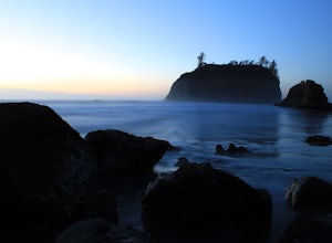
Explore Ruby Beach
5.0If you’re looking for a mellow day at the beach, this is a great spot! There’s an easy path from the parking area down to the beach that’s less than 0.25 miles, so it’s not too difficult to the things you may want or need. Just north of the parking area, there’s a series of tide pools to explore....Read more -
Washougal, Washington
Cape Horn Trail
4.36.76 mi / 1795 ft gainThe Cape Horn Trail is great for those who are short on time, but still want to get outside for something close by with great views. Located just 35 min east of Portland, the Cape Horn Trail offers a few different possibilities for you to hike. The whole loop (lower section is closed from Feb 1s...Read more -
Seattle, Washington
Take in the View at Kerry Park
4.8Located at the top of Queen Anne Hill, Kerry Park is a favorite destination for photography. On any given day you'll find tourists and locals relaxing in the park and enjoying the beautiful view.The park is located in the Queen Anne neighborhood so there is free parking along the streets. If yo...Read more -
Carson, Washington
Panther Creek Falls
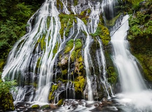
4.60.64 mi / 180 ft gainThis hidden beauty is just north of Carson, Washington. Watch for Panther Creek campground signs and follow the twisting road about 7 miles to a rock quarry and park there. The trail begins just off the road about 50 yards back - keep an eye out for signs for the trailhead and listen for the fall...Read more -
Leavenworth, Washington
Evergreen Mountain Lookout
4.52.88 mi / 1522 ft gainThis is a relatively short hike, at only 2.6 miles round trip, that takes you up to the nearly 5600 foot summit. The hike may be short but it is extremely steep, gaining 1300ft in the 1.3 miles to the summit, so be prepared for a good leg workout. On the way to the top you will walk through field...Read more -
Seattle, Washington
Discovery Park Beach
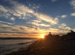
4.32.39 mi / 535 ft gainDiscovery Park and its beach area great for walking, running, photography, and taking in a sunset. If you want to put your feet in the sand, head down to the western most part of the park. This beach is a sand beach with an iconic lighthouse at the end. Dirftwood also washes up on the beach provi...Read more -
Port Angeles, Washington
Mount Storm King
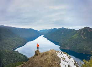
4.73.91 mi / 2251 ft gainThe trailhead is located right next to the Storm King ranger station adjacent to Lake Crescent right off Hwy 101 just past Port Angeles if heading West. It shares the same trail as, and breaks off left from the Marymere Falls trail (also worth seeing) about a quarter mile in (look for signage). ...Read more -
Skykomish, Washington
Tank Lakes via Necklace Valley
18.94 mi / 4721 ft gainTucked high in the heart of the Alpine Lakes Wilderness, Tank Lakes has everything you could ask for out of a Washington hike. You start low at the Necklace Valley trailhead just south of Skykomish along Highway 2 and meander five miles to a giant log crossing of the East Fork Foss River. From h...Read more -
Ilwaco, Washington
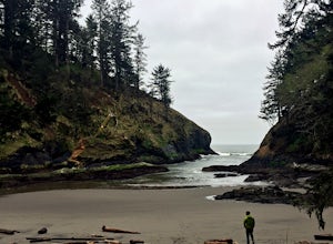
Fort Canby and Cape Disappointment Lighthouse
5.01.5 mi / 500 ft gainCape Disappointment State Park is nearly 2,000 acres of old growth temperate forest located at the mouth of the Columbia River that contains lakes, coves, two lighthouses, and military forts. One of the forts and lighthouses is Fort Canby and Cape Disappointment lighthouse, which date back to the...Read more -
Ashford, Washington
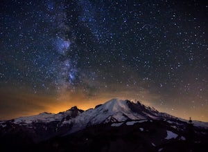
See the Milky Way over Mt. Rainier
4.82.52 mi / 322 ft gainThe Milky Way and Mount Rainier is a beautiful combination. In order to get a photo of the Milky Way over Mount Rainier you need to be in the right spot at the right time of year. The spot seen in the photographs is a great spot in that it isn't too far of a hike and provides an unobstructed view...Read more -
King County, Washington
Teneriffe Falls (Kamikaze Falls)
4.55.64 mi / 1732 ft gainThe lesser known Mt Si Rd trail starts off as a relatively flat road. This continues for two miles until you reach the Teneriffe Falls sign. Upon turning right at this junction, the terrain takes a shift and the incline steepens. This is where most of the elevation is gained. The rest of the way...Read more -
Stevenson, Washington
Dog Mountain via Dog Mountain Trail
4.56.53 mi / 2858 ft gainThe Dog Mountain trailhead is located halfway between Stevenson and Bingen. Look for the big signed parking area just after milepost 53 (Eastbound). The parking lot fills up quickly, especially during peak wildflower season, so if you can go on a weekday that would be better. There are 3 trails ...Read more -
North Bend, Washington
Snowy Hike to Rattlesnake Ledge
4.54 mi / 1160 ft gainThe trail to Rattlesnake Ledge is one of the busiest in Washington. Usually, a Saturday or Sunday is a no go for a lot of avid hikers due to the crowds. Adding a little snow and cold diminishes the crowds nicely. While it is no secret, this hike is popular for a reason. The 2 miles it takes t...Read more

