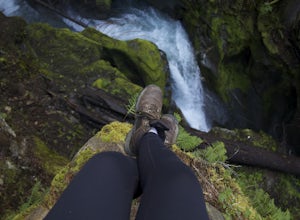
Mount Baker, Washington
Top Spots in and near Mount Baker
-
Deming, Washington
Hike the Horseshoe Bend Trail
4.06 mi / 210 ft gainLocated just outside the town of Glacier, WA and 40 minutes prior to Mount Baker Ski area, sits the Horseshoe Bend Trail. A simple and straightforward 6 mile out and back route. To get here, take Hwy 542 towards the direction of Mount Baker. About 4 miles after you pass through the town of Glacie...Read more -
Concrete, Washington
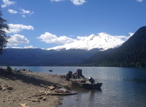
Hike the East Bank of Baker Lake
4.39.2 mi / 978 ft gainAccess the hike from a 26.5-mile drive down Baker Lake Rd to the Baker Lake Trailhead. Note that the last 6 miles are unpaved and rather rough. The trail starts at low elevation so there's rarely snow or condition concerns, even in early spring. The trail runs alongside and then crosses the Bake...Read more -
Concrete, Washington
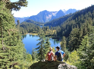
Anderson and Watson Lake
5.68 mi / 1165 ft gainThe drive up to the starting point of the trail to Anderson and Watson Lake was easy, but at the end it gets a little tricky - the service road is sharp gravel and runs for about 10 miles to the trailhead. Some spots are steep and there are large potholes, but slow and steady wins the race. There...Read more -
Whatcom County, Washington
Yellow Aster Butte and Tomyhoi Peak
4.713.4 mi / 4902 ft gainThe best way to describe the location is due east of Bellingham. After driving through gorgeous roads to reach Twin Lakes Road (fire service road 3065), you are treated to about a 4-mile drive up to the trailhead for Yellow Aster Butte (8.3 miles RT with 2850' of gain) and Tomyhoi Peak. The drive...Read more -
Whatcom County, Washington
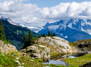
Yellow Aster Butte
9.08 mi / 3258 ft gainYellow Aster Butte has to be one of the most visually rewarding hikes in the Mt. Baker-Snoqualmie National Forest for the effort required to get there. Abundant with lush, rolling mountain meadows, hikers can be treated to an abundance of wildflowers, heather fields, and berry patches with dreamy...Read more -
Whatcom County, Washington
Climb Ruth Mountain and Icy Peak
5.017 mi / 6000 ft gainThis is a great introductory glacial climb in the North Cascades with moderate glacial slopes and 4th class scrambling. The reward is outstanding views of the Picket Range, Mt Shuksan and the dramatic Nooksack Cirque. Even though this climb is easy it can be demanding and requires individuals to ...Read more -
Whatcom County, Washington
Winchester Mountain Fire Lookout
4.83.28 mi / 1335 ft gainWinchester Mountain is said to have the greatest reward for least amount of effort in all the North Cascades. One of the last fire-lookouts in the region stands on the summit. Views from the summit of Winchester Mountain are beautiful and dramatic to say the least. Being one of the easiest hikes...Read more -
Whatcom County, Washington
Winter Hike to Winchester Mountain
3.5 mi / 1320 ft gainDespite this trip report being titled "to Winchester Mountain", the fun doesn’t stop there. Even though Winchester Mountain is the most popular summer hike departing from Twin Lakes, this whole area turns into a fun-zone during the winter.Upon reaching higher ground above the lakes, this zone off...Read more -
Deming, Washington
Hike to Racehorse Falls
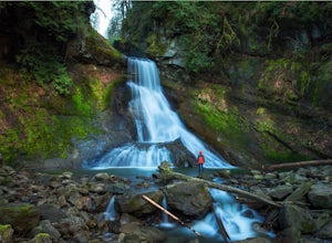
3.7Racehorse Creek is broken up into four distinct waterfalls that drop a total of 140ft through a relatively shallow gorge. The first two waterfalls are punchbowl-type falls that have deep holes at their bases. Immediately below the second waterfall, the creek descends rapidly before it arrives at...Read more -
Marblemount, Washington
Hike Lazy Bear Falls
3.0To get to Lazy Bear Falls, take Bacon Creek Road off the North Cascade Highway for 5 miles. At the 3-way fork, take the left road, which will lead you down and over a bridge crossing Bacon Creek. From here, the road will require 4x4 and high clearance.From here, continue up the road for about 0.5...Read more -
Skagit County, Washington
Sauk Mountain Summit 5,541'
4.34 mi / 1200 ft gainEven from the Trailhead, the views overlooking the Skagit River valley, all the way out toward Mount Vernon, are outstanding. The trail follows 20 tight switchbacks as it makes it's way 600 feet up to the southern crest of the summit ridge. This is a steep slope and it's possible to look straight...Read more -
Chilliwack, British Columbia
Hike to Elk Mountain
4.74.3 mi / 2624.7 ft gainElk Mountain is one of the not so hidden-hidden gems in Chilliwack, BC. Clocking in at around 4 hours return it is an easy day hike offering beautiful views of the Fraser Valley and surrounding mountains. Reaching around 1500m in only 3.5 km, this trail is steep, but beautiful forest and mountain...Read more -
Marblemount, Washington
Thornton Lakes & Trappers Peak
3.710.57 mi / 3885 ft gainTo get to your campground or to Trappers Peak, hike roughly five miles along the trail to ridge, where the trail divides. If you head left you'll go down into lake basis where you can drop your gear. Come back to the divide and head right, which will lead you up to trappers peak. Something to ke...Read more -
Marblemount, Washington
Winter ascent of Trappers Peak
9.78 mi / 3448 ft gainNorth Cascade National Park is home to some of the most rugged and remote mountains in the lower 48 states. Because of this, the area is rarely seen up close and personal in the winter, but there are a few spots where you can see these wild mountains that will defy all imagination. In terms of lo...Read more -
Marblemount, Washington
Terror Basin and West McMillan Spire
16.98 mi / 8868 ft gainThe Picket Range is a remote and rugged subrange of Washington's North Cascades. It draws very few visitors per year, and the odds of seeing another human on your adventure are very low. West McMillan Spire is an 8,000' peak located in the Southern Pickets. It is a Class 3 climb involving bot...Read more -
Marblemount, Washington
Photograph Ladder Creek Falls
While not a hike in of itself, this walk to Ladder Creek Falls is still very enjoyable as you bound over a large suspension bridge, wander past smaller falls and overgrown garden steps, and get an up close and personal look at the oldest operating building in Skagit County, the powerhouse. Drive ...Read more

