Mount Baker, Washington
Top Spots in and near Mount Baker
-
Deming, Washington
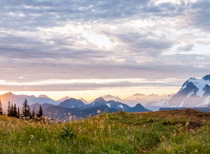
Hike Skyline Divide
5.09 mi / 2500 ft gainIf driving 13 miles on a forest road, and hiking miles of switchbacks doesn't bother you, your in for one of the most exquisite views that you can get from hiking in Washington state.Just a mile outside of the town of Glacier, turn onto Forest Road 37 and follow it up switchbacks for the majority...Read more -
Deming, Washington
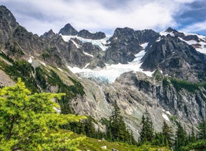
Lake Ann and Lower Curtiss Glacier
5.011.67 mi / 3241 ft gainThe trail begins just below Artist Point and is well marked from a paved parking lot. Make sure to have a Northwest Forest Pass for your vehicle. Start your hike by descending on switchbacks through sub-alpine forest. It's a nice start, but remember, that means an uphill hike out. After entering...Read more -
Deming, Washington
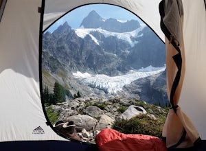
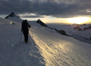
Climb Mt. Shuksan via The Fisher Chimneys
Out of all of the ruggedly beautiful, non-volcanic mountains in the Pacific Northwest, Mt. Shuksan is the center piece. Rising to a height of 9,131 feet, Mt. Shuksan is one of the most photographed mountains in the world with its jagged ridges, hanging glaciers, steep rocky faces and ease of acce...Read more -
Deming, Washington
Hike the Fire and Ice Trail
0.5 mi / 100 ft gainSet within the Mount Baker hiking wonderland, the Fire & Ice Trail may be the easiest and most family friendly hike set within the park. About ½ mile beyond the Heather Meadows Ski Area and about a mile before Artists Point, you’ll encounter the sign for the Austin Pass Picnic Area. It’s a ra...Read more -
Deming, Washington
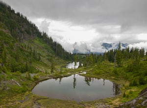
Hike the Bagley Lakes Trail
4.52 mi / 150 ft gainSet within the Mount Baker hiking wonderland, the Bagley Lakes trail is an easy, family-friendly hike with alpine lakes, copious amounts of wildflowers, and striking views of Table Mountain. Compared to the notoriety of many of the other hikes within the area, this is a hidden gem. There are actu...Read more -
Deming, Washington
Chain Lakes Loop
4.08.35 mi / 2005 ft gainDriving Directions: Travel east on Mt. Baker Highway 542 to the road's end and the Mount Baker Ski area. Follow the signs to the upper parking lot and the Bagley Lakes/Chain Lakes trailhead. The trail can also be accessed from Austin Pass and Artist Point. Trail: From the Bagley Lakes trail...Read more -
Deming, Washington
Winter Backpack in the Mt. Baker Backcountry
6 mi / 1500 ft gainArrive at the upper ski resort parking lot (approx. 4300 feet elev.) and snowshoe, skin, or split board up. Make your way toward Artist Point and eventually Huntoon Point, gaining approximately 1500 feet of elevation over approximately 3 miles (one way). Past Huntoon Point, there are several grea...Read more -
Deming, Washington
Backcountry Skiing Near Mt. Baker
5.0Park at Heather Meadows parking lot at Mount Baker Ski Resort and follow the Blueberry cat-track, which is actually a paved road in the summer, leading south up for 2 miles passing Austin Pass and continuing southwest on to Artist Point, gaining 1200 ft in elevation. From there, dig out your snow...Read more -
Deming, Washington
Winter Backpack to Lake Anne Ridge
14 mi / 2000 ft gainArrive at the upper ski resort parking lot (approx. 4300 feet elev.) and snowshoe, skin, or split board up. Make your way toward Artist Point and halt at Austin Pass, gaining approximately 1200 feet of elevation over approximately 2 miles (one way). From Austin Pass, turn left (south) to take the...Read more -
Deming, Washington
Winter Backpack to Artist Point
4 mi / 1000 ft gainYou do need a Northwest Forest Pass to park in the lot overnight. You can buy a day use E-pass online here (pick Mount Baker-Snoqualmie National Forest from the drop down menu) and print it out and it's ready to use. Or you can buy the annual pass here.The adventure to Artist Point begins in the ...Read more -
Deming, Washington
Snowshoe to Huntoon Point
5.06 mi / 1200 ft gainThis strenuous but rewarding hike takes you first to Austin Pass, where there is a great view of Mount Shuksan. Look out for skiers and snowboarders heading the opposite direction as you start out.The second major push heads further up to Kulshan Ridge, leading first to Artist Point, then Huntoon...Read more -
Concrete, Washington
Dock Butte
4.53.92 mi / 1388 ft gainDock Butte is an easy hike offering truly spectacular 360 degree views of the Mt. Baker region. In summer this summit can be done as an easy walk up. It is especially good during the late summer for hikers and introducing someone into hiking. From the parking lot the trail goes through forest wi...Read more -
Deming, Washington
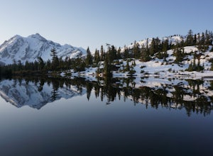
Catch a Sunrise at Picture Lake
4.7Set your eyes on one of the most photographic mountain landscapes in North America. You can drive up early for the sunrise, but really any time of day will be a treat.In the spring, make sure to come when the lake isn't frozen over so you can get the full reflection of Mt. Shuksan on the water. T...Read more -
Deming, Washington
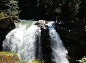
Visit Nooksack Falls
The View. Nooksack Falls is a wonder of a sight, tumbling 88 ft in two segments averaging 50 ft across. A quick stroll from the parking area brings you to the upper or "lower" view, where you can either see the top of the waterfall cascading away from you, or see the whole waterfall. The water...Read more -
Concrete, Washington
Mt. Shuksan via The Sulphide Glacier Route
13.62 mi / 6230 ft gainNOTE: This is a very challenging mountaineering adventure. Please do not attempt without the proper skill, knowledge, and equipment. The Sulphide Glacier is the easiest and most popular route to the summit of Mt. Shuksan, and is a great beginner’s glacier + rock climb. More experienced climbers...Read more -
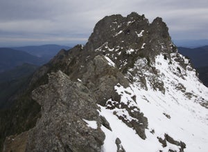
Deming, Washington
Summit Church Mountain
8.5 mi / 3750 ft gainStart by driving roughly 2.5 miles up Forest Road 3040, conveniently named E Church Mt Road, to the trailhead. The road is bumpy, but lacking the pot-holes that occupy many of the other forest roads. The only issue comes at 2 miles in where a stream runs over the road and has eroded a small ditch...Read more

