Mount Baker, Washington
Looking for the best hiking in Mount Baker? We've got you covered with the top trails, trips, hiking, backpacking, camping and more around Mount Baker. The detailed guides, photos, and reviews are all submitted by the Outbound community.
Top Hiking Spots in and near Mount Baker
-
Skagit County, Washington
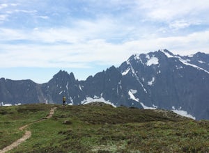
Sahale Arm via Cascade Pass
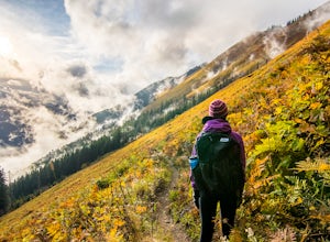
4.312.34 mi / 5230 ft gainTo get to this hike, go to Marblemount, WA. Then, drive ~23 miles east on Cascade River Road until the end, the Cascade Pass Trailhead. Even before you hit the trail, you'll get an amazing view of Johannesburg Mountain. Once you're ready to get going, the initial 3.7 miles of this hike to Cascad...Read more -
Skagit County, Washington
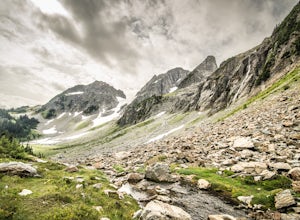
Pelton Basin Camp
8.82 mi / 2543 ft gainStarting at 3,640 feet elevation, the Cascade Pass Trailhead begins adjacent to the Johannesburg Camp and proceeds east along a relentless series of switchbacks. Though the trail is consumed by a thick Washington evergreen forest, the switchbacks frequently open to sweeping vistas of the far-reac...Read more -
Skagit County, Washington
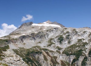
Climb Sahale Peak via the South Slope Route
5.012 mi / 4000 ft gainTo get to Sahale Peak, drive to Marblemount, WA and continue on the Cascade River Road (Forest Road 15) for 23.5 miles. The road ends at the Cascade Pass trailhead, where the climb begins.The first part of the climb follows the Cascade Pass trail for 3.5 miles and 1,800 feet. Cascade Pass makes a...Read more -
Arlington, Washington
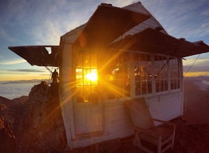
Three Fingers Lookout
4.514.31 mi / 4357 ft gainApproximately 11 miles east of Granite Falls, WA, on the Mt. Loop Highway, turn onto Forest Service road 41 and follow this road for 18.0 miles to the trailhead. The road is quite rough and it is recommended you have a four-wheel drive vehicle. There is a washout about halfway along the road, an...Read more -
Anacortes, Washington
Kayak Camp on Cypress Island
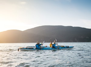
16 miWe set out from the town of Anacortes, WA from Seafarers Memorial Park with a group of 6 people. Two in single kayaks and four in two tandem kayaks. After setting out into the water, keep to the west of Guemes island and follow the shoreline for a shorter trip or follow the east side for a longer...Read more -
Hope, British Columbia
Hike to Flood Falls, British Columbia
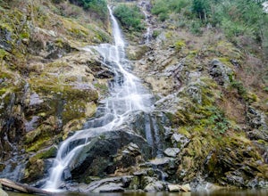
5.00.6 mi / 262.5 ft gainYou can see the waterfall up high cascading down to the ground from where you park. Once you get to the trailhead and park on the side of the road, follow the trail toward the waterfall. The trail is a bit rough in spots with lots of roots, so be careful where you step. On the way to the falls, t...Read more -
Anacortes, Washington
Hike to the Summit of Mt. Erie
4.05 mi / 900 ft gainTo start this hike, jump on trail 215 for a short distance of about a 1/4 mile. From here, continue until you cross trail 320 and head left onto it. Stay on 320 until you come across trail 230.Take 230 uphill (resembles an old fire road) toward the ravine just above a creek. From here, head onto ...Read more -
Darrington, Washington
Hike to Green Mountain
8.5 mi / 3200 ft gainAfter the long drive down FR 26, turn onto FR 2680. 6 miles down the road, you'll see what slightly resembles a trail to your left. Park and prepare for your gorgeous hike!The trail starts with a 1.5 mile windy trek through the woods. You'll pop out onto the lush meadows of the mountain sides. He...Read more -
Blaine, Washington
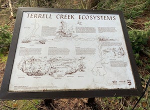
Terrell Marsh Trail
3.00.63 mi / 82 ft gainTerrell Marsh Trail is a loop trail that takes you past scenic surroundings located near Blaine, Washington.Read more -
Surrey, British Columbia
Stroll through Redwood Park in Surrey, BC
3.01.2 miRedwood Park is large beautiful forested park in South Surrey. The park is a legacy of one of Surrey's early pioneer's, David Brown, who in 1893 gave the property to his twin sons, David and Peter. The Brown twins spent much of their life traveling the world collecting the seeds and saplings of e...Read more -
Hope, British Columbia
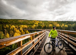
Cycle the Kettle Valley Rail-Trail
4.0Top 10 Areas of Interest - from West to East (1) Coquihalla Canyon Provincial Park(2) Red Ochre cliffs in the Tulameen(3) Trout Creek Trestle & The Kettle Valley Steam Train(4) Penticton's Munson Mountain & the Naramata Bench(5) The Little & Big Tunnel above Naramata(6) Myra-Bellevue ...Read more -
15671 Rosario Road, Washington
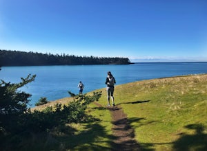
Hike or Run Lottie Point Loop
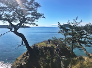
1.5 mi / 50 ft gainOne of the best routes to add to your itinerary when exploring Deception Pass State Park, one of Washington’s most popular year-round camping, hiking, and kayaking destinations; The Lottie Point Loop trail is a great offshoot of a larger trail system that takes you across soaring cliffsides and a...Read more -
4399 Bowman Bay Road, Washington
Hike or Run the Lighthouse Point Trail
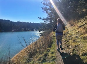
5.01.9 mi / 285 ft gainThe Lighthouse Point Trail is yet another offshoot of Deception Pass Park’s wonderful trail system, which weaves itself through the northern corners to the southern ends of the park’s expansive walking paths. Perfect for families and for adventurers just getting their hiking legs warmed up for th...Read more -
Oak Harbor, Washington
Camp & Hike at the Deception Pass Headlands
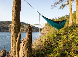
5.05 miTHE TRAIL: On the north side of the bridge, you'll come across Rosario Rd. Take this down to the Bowman Bay parking lot and your trailhead begins here. Take a moment to walk out on the fishing pier or watch what people are catching before you continue south on the trail towards Lottie Bay/Lightho...Read more -
Goose Rock Perimeter Trail, Washington
Hike or Run Goose Rock
2.5 mi / 482 ft gainDeception Pass State Park is one of Washington state's favorite year-round destinations; Beachside camping, salt-water kayaking, and plenty of short, accessible trails with endless views of the strait. Goose Rock, the tallest point on Whidbey Island, is just southeast of the Deception Pass bridge...Read more -
Oak Harbor, Washington
Photograph the Deception Pass Bridge
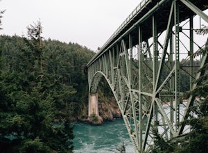
4.5Once you've parked your car, there is a $10 fee which can be paid at the station right next to the bridge unless you have a Discover Pass. From there, you can either go down the stairs to the beach or continue to walk across. Towards the middle, there are some stairs to get down and take some pho...Read more

