Lynden, Washington
Top Spots in and near Lynden
-
Deming, Washington
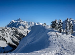
Snowshoe to Huntoon Point
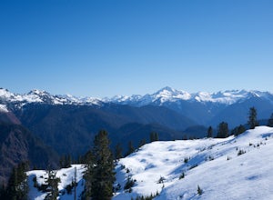
5.06 mi / 1200 ft gainThis strenuous but rewarding hike takes you first to Austin Pass, where there is a great view of Mount Shuksan. Look out for skiers and snowboarders heading the opposite direction as you start out.The second major push heads further up to Kulshan Ridge, leading first to Artist Point, then Huntoon...Read more -
Deming, Washington
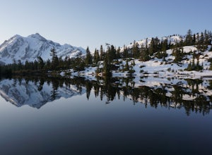
Catch a Sunrise at Picture Lake
4.7Set your eyes on one of the most photographic mountain landscapes in North America. You can drive up early for the sunrise, but really any time of day will be a treat.In the spring, make sure to come when the lake isn't frozen over so you can get the full reflection of Mt. Shuksan on the water. T...Read more -
Whatcom County, Washington
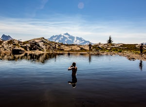
Yellow Aster Butte and Tomyhoi Peak
4.713.4 mi / 4902 ft gainThe best way to describe the location is due east of Bellingham. After driving through gorgeous roads to reach Twin Lakes Road (fire service road 3065), you are treated to about a 4-mile drive up to the trailhead for Yellow Aster Butte (8.3 miles RT with 2850' of gain) and Tomyhoi Peak. The drive...Read more -
Whatcom County, Washington
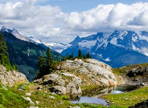
Yellow Aster Butte
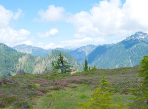
9.08 mi / 3258 ft gainYellow Aster Butte has to be one of the most visually rewarding hikes in the Mt. Baker-Snoqualmie National Forest for the effort required to get there. Abundant with lush, rolling mountain meadows, hikers can be treated to an abundance of wildflowers, heather fields, and berry patches with dreamy...Read more -
Mount Vernon, Washington
Explore the Flower Fields of Skagit Valley
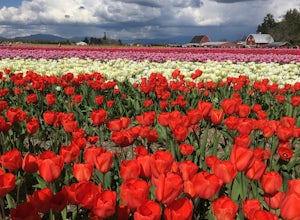
4.3Skagit Valley is an important agricultural region of Washington State, but the prettiest time of year to attend is during the spring when flower season takes hold. Daffodils first, then tulips, and then irises bloom and cover fields as far as the eye can see. The Skagit Tulip Festival is held eve...Read more -
Fraser Valley D, British Columbia
Explore Bridal Veil Falls in Chilliwack
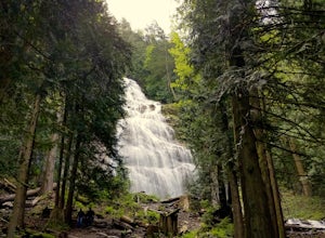
4.00.5 mi / 164 ft gainLocated only a short distance from the Trans-Canada highway is the Bridal Veil Falls Provincial Park. The park is a great area for a picnic lunch, but the highlight of the park is the almost 200 ft. (60 meter) waterfall. The location of the park and the duration of the hike to the waterfall make ...Read more -
Concrete, Washington
Rainbow Ridge
4.51 mi / 1552 ft gainThe Trail From the parking area proceed back towards the road and hang a right up an abandoned road bed. The trail follows this road bed for a about 0.2 miles before the real trail becomes evident. The first 0.5 - 1.0 miles of this trail can be difficult. Deadfall, wet, steep, and root covere...Read more -
Concrete, Washington
Winter Hike to Rainbow RIdge
4.5 mi / 1200 ft gainTurn left off of the Grandy-Baker Lake Road onto FS RD 1130 just past the Boulder Creek Campground. Stay right at the first fork in the road. At 3.9 miles go right towards Rainbow Falls. The falls are located at a large bend in the road at approximately 4.5 miles. I have never found a good safe...Read more -
Concrete, Washington
Dock Butte
4.53.92 mi / 1388 ft gainDock Butte is an easy hike offering truly spectacular 360 degree views of the Mt. Baker region. In summer this summit can be done as an easy walk up. It is especially good during the late summer for hikers and introducing someone into hiking. From the parking lot the trail goes through forest wi...Read more -
North Vancouver, British Columbia
Swim at the Lynn Canyon Swimming Hole
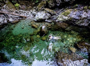
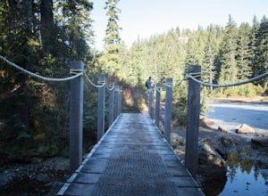
4.50.6 mi / 50 ft gainFrom the last field at inter city park, continue walking down the road to the Lynn Canyon trail. Follow the trail up the wooden boardwalks and to the first open area on the trail. When you can see the creek to your left, head down to the creek. To get to this particular swimming hole, you will ha...Read more -
North Vancouver, British Columbia
Hike Mount Seymour to First Peak
4.0The elevation gain to first peak is approximately 451m and is about 9km.There are several ways to get to the top, each trail is marked well. One way is to follow the ski run up to brockton point and then take the turn off to Mount Seymour. Do not follow the Elsay Lake trail as it's signifciantly ...Read more -
North Vancouver, British Columbia
Hike and Camp on Mt. Seymour
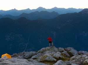
From the end of the parking lot next to the BC Parks sign board, walk towards the ski run and follow it uphill to a green sign on the left. The first trail goes to Dog Mountain, another scenic and shorter hike then Mount Seymour. Instead, follow the trail that heads uphill and parallel to the ski...Read more -
North Vancouver, British Columbia
Snowshoe Mt. Seymour
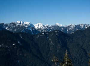
4.55.5 mi / 1476 ft gainThis trip is best done in a 3-5 hour window. The trail meanders up past several peaks until you reach the summit and a panoramic view of Vancouver and the mountains.Start at the Mount Seymour Parking Lot, walk uphill and follow the trail to the left of the ski hill until you get to the the trail ...Read more -
North Vancouver, British Columbia
Snowshoe Dog Mountain
2.7 mi / 328.1 ft gainA perfect way to get outside before or after work. Dog mountain is an easily accessible snowshoe trail that takes you up to the short peak from the Mt. Seymour parking lot. This is a perfect spot for sunrise or sunset photography, and you can catch great 360 views from the top. Start at the BC Pa...Read more -
North Vancouver, British Columbia
Hike Dog Mountain, BC
4.23.1 mi / 150 ft gainThe trail begins in the furthest northwest corner of the parking lot, by a big trail map. The start of the trail is gradual and meanders through the forest. The trail then begins to become more technical and requires scrambling over rocks and up areas with roots. Although this hike has minimal ga...Read more -
North Vancouver, British Columbia
Hike to Mystery Lake
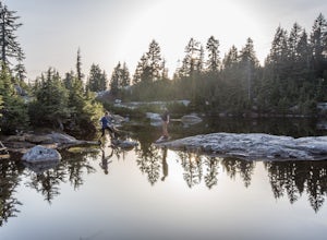
4.03.1 mi / 492.1 ft gainFrom the Mt. Seymour ski area parking lot, head towards the Mystery Peak Express. Once you have passed the base of the Mystery Peak Express, you will continue up the trail to your left (right goes to dog mountain, straight to the 3 peaks of Seymour). Follow the trail all the way up to the lake. T...Read more

