Lynden, Washington
Top Spots in and near Lynden
-
Maple Ridge, British Columbia
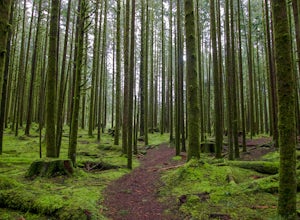
Stroll along the Spirea Nature Trail
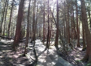
3.01.5 mi / 0 ft gainAn hour outside of downtown Vancouver lies the beautiful 150,000 acre Provincial Park of Golden Ears. The park has a myriad of hikes and adventures all with varying degrees of difficulty. The Spirea Nature Trail likely clocks in as one easiest amongst the dozens within the park. However, don’t le...Read more -
Maple Ridge, British Columbia
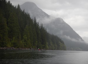
Paddle Golden Ears Park's Alouette Lake
5.0About one hour outside of Vancouver, Golden Ears Provincial Park is a great escape for hiking and paddling opportunities. The massive drive-in campgrounds are usually full for most of the summer, but deep into the lake's wilderness are marine spots for backcountry camping. Get your backcountry pe...Read more -
Eastsound, Washington
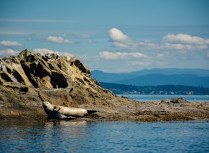
Kayak Sucia Island
It may be daunting to figure out how to kayak in the San Juan Islands.If you're a beginner/intermediate kayaker, this is the trip for you.First, you'll want to plan ahead and reserve a kayak for Sucia Island. We used Outer Island Expeditions which was nice because they make it pretty easy for you...Read more -
Deming, Washington
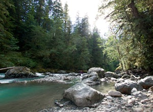
Hike the Horseshoe Bend Trail
4.06 mi / 210 ft gainLocated just outside the town of Glacier, WA and 40 minutes prior to Mount Baker Ski area, sits the Horseshoe Bend Trail. A simple and straightforward 6 mile out and back route. To get here, take Hwy 542 towards the direction of Mount Baker. About 4 miles after you pass through the town of Glacie...Read more -
Fraser Valley F, British Columbia
Hike to Cascade Falls, British Columbia
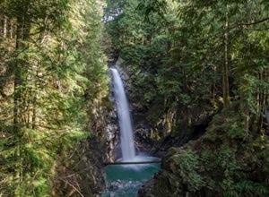
4.80.5 mi / 131.2 ft gainWhen you get to the parking lot go past the access gate and follow the very well maintained trail. The hike to the viewing platform is all uphill, but short. After a couple minutes you will reach wooden stairs that take you to a viewing platform as well as to the suspension bridge where you can c...Read more -
Delta, British Columbia
Hiking through Burns Bog Delta Nature Reserve
1.9 miAs you begin your journey into Burns Bog Delta Nature Reserve from the parking lot and small trail coming off of Westview Drive, notice the gravel trail ahead of you and across the train tracks that will take you into the bog itself and take a left. After spending a few minutes on the straight tr...Read more -
Olga, Washington
Hike to the Mount Constitution Summit
5.07 mi / 1500 ft gainThis 7 mile round-trip hike takes you to the mountain's summit. From here you'll be able to take in an amazing view. During the hike, you'll head around the left side of Mountain Lake, and then continue on to Twin Lakes, before starting your jaunt to the top of Mt. Constitution. The hike around ...Read more -
Maple Ridge, British Columbia
Hike Evans Peak in Golden Ears Provincial Park
4.0Start on the West Canyon Trail and then take a left up the View Point Trail. Along the View Point trail you’ll cross a creek. There’s a beautiful waterfall and natural hammock (a log) which is great for a quick snack spot or photo.A few hundred meters past the creek, 1.5km from the start of the...Read more -
Maple Ridge, British Columbia
Hiking Golden Ears Trail
14.9 mi / 4921.3 ft gainGolden Ears is well known to those in the Lower Mainland. After staring at the jagged 'ears' from all angle, I finally got to see them up close and in-person. The West Canyon Trail is a gentle 5.5 kilometers on a well groomed path, lined with deciduous trees making it a perfect place to watch the...Read more -
Maple Ridge, British Columbia
Camp in Golden Ears Provincial Park
11.2 mi / 3937 ft gainBackcountry permits are required to camp on Panorama Ridge ($5) and can be paid online.The trailhead is located at the West Canyon Parking lot. The trail starts out on a relatively flat old logging road. The trail slowly gains elevation over three kilometers taking you through thick green forest ...Read more -
Maple Ridge, British Columbia
Summit Golden Ears
4.514.9 mi / 5039.4 ft gainDay 1 Starting from the Golden Ears parking lot, your journey begins up a relatively small incline passing two bridges and entering the forest. Continue through the forest passing small cliffs and revealing some views of what you are going to climb the next day. Your estimated time it should take...Read more -
Maple Ridge, British Columbia
Hike to Alder Flats in Golden Ears Provincial Park
4.06.8 mi / 918.6 ft gainIf you're looking for a challenge and hope to get into the mountains this is a great adventure to set out on.Be prepared: Water, a lot of time, and with an understanding of the elevation gain will be important. This hike to the viewpoint of Alder Flats (overlooking the ears) takes around 2 hours ...Read more -
Maple Ridge, British Columbia
Hike the East-West Canyon Loop
8.1 mi / 1640.4 ft gainPark your car in the Gold Creek Parking lot ( at the end of the dirt road), and look for a yellow gate at the far end of the parking lot. This will be the East Canyon trail.The first part of the trail winds through the forest and you emerge on an old logging road. Follow this road along with the ...Read more -
Maple Ridge, British Columbia
Hiking Upper Gold Creek Falls
4.5Once you arrive in Golden Ears Park, follow the road to the end and look for signs to the Gold Creek Day Area. The road will turn to gravel, and after you cross a small, one-line bridge, you will reach the parking lot.After you have parked, head north past the yellow gate, marked East Canyon Trai...Read more -
Maple Ridge, British Columbia
Hike to Lower Falls in Golden Ears Provincial Park
5.03.5 miLower Falls is found within Golden Ears Provincial Park in British Columbia. Easily accessible from the Gold Creek Parking lot, it is a relatively flat trail snaking along Gold Creek itself. It can be done as an out & back trail, or you can make it a loop by using the connector trail located ...Read more -
Deming, Washington
Hike Skyline Divide
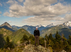
5.09 mi / 2500 ft gainIf driving 13 miles on a forest road, and hiking miles of switchbacks doesn't bother you, your in for one of the most exquisite views that you can get from hiking in Washington state.Just a mile outside of the town of Glacier, turn onto Forest Road 37 and follow it up switchbacks for the majority...Read more

