Greenwater, Washington
Top Spots in and near Greenwater
-
Lewis County, Washington
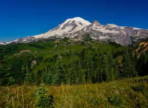
Hike Indian Bar - Cowlitz Divide via Box Canyon
14.64 mi / 4235 ft gainThere are multiple ways to access Indian Bar. This one starts at Box Canyon. From the parking area at Box Canyon walk across the road and follow the signs for Wonderland Trail. Head up the Wonderland trail through the trees to the split with the Cowlitz trail. Continue on the Wonderland Trail...Read more -
Ashford, Washington
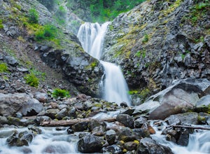
Hike to Comet Falls
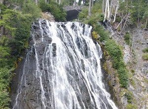
5.0Located on Paradise Road along the south side of Mount Rainier, the Comet Falls Trail follows Van Trump Creek up to the magnificent Comet Falls. The hike is 3.8 miles round trip with 1250' of elevation gain.The trail starts off at 3650' and soon crosses over a bridge above Christine Falls. It qui...Read more -
Packwood, Washington
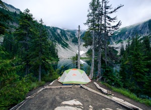
Snow Lake Trail
3.82.12 mi / 427 ft gainSnow Lake is a beautiful lake in Mount Rainier National Park in Washington. You can do the 2.6 mile roundtrip hike to the lake as either a day trip or as a backcountry camp. To camp at one of the two sites on the lake you must secure a permit from the permit office at Longmire. The hike to the s...Read more -
Packwood, Washington
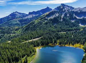
Lakes Trail Loop
5.34 mi / 1381 ft gainThe Lakes Trail Loop can be accessed two ways. You can either start in Paradise and find one of the multiple points along the Skyline Trail or you can begin at Reflection Lake. My recommendation for a nice day hike is to begin at Reflection Lake. If you arrive by 8am you should have an easy time...Read more -
Packwood, Washington
Explore Reflection Lakes
4.3Reflection Lakes is located approximately 1 mile east of Inspiration Point just off Steven Canyons Road in the Paradise section of Mount Rainier National Park. Simply park in one of the pullouts at the lakes and enjoy the scenery. Reflection Lakes can also be accessed via the Wonderland Trail.T...Read more -
Packwood, Washington
Hike Pinnacle Peak, Mt. Rainier NP
4.82.5 mi / 1050 ft gainThis trailhead is easily accessed at the parking lot at Reflection Lakes in Mount Rainier National Park. A short but sweet hike (1.3 miles one way) that leads to beautiful views of Rainier, Mount Adams, Mount St. Helens, and if clear enough, Mt. Hood (Oregon). Pinnacle itself can be climbed to su...Read more -
North Bend, Washington
Goldmyer Hot Springs
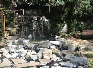
4.110.48 mi / 817 ft gainGoldmyer Hot Springs is a beautiful little gem nestled within the wilderness of the stunning Cascade Mountains. This hot springs complex is situated on the old remains of a mining town, and delivers steadily flowing water to a set of tiered pools along the mountainside. The “cave” pool at the top...Read more -
Snoqualmie, Washington
Rattlesnake Mountain Trail
4.010.54 mi / 2664 ft gainThe Rattlesnake Mountain Trail is often associated with Rattlesnake Ledge, one of the busiest hiking destinations around. But most people don't know that you can continue on from Rattlesnake Ledge another 10 miles to Snoqualmie Point Park. Using the Snoqualmie Point Trailhead, this hike is a wo...Read more -
Snoqualmie, Washington
Rattlesnake Mountain Traverse Run
21.1 miTo Snoqualmie Point Park, from Seattle take I-90 east to Exit 27. At the end of the off-ramp, go right and follow the road to the end. Go through the gate on the right to enter the trail head To Rattlesnake Lake: From take I-90 to Exit 32. Go south on 436th Ave. SE, turning into Cedar Falls Rd...Read more -
North Bend, Washington
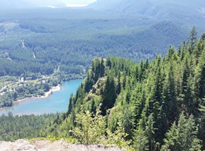
Hike Pratt Balcony
2.2 miThis one can be a bit tricky to find. The trailhead is unmarked and is a bit hidden around a curve of Middle Fork Road so it is easy to miss. At about 9.80 miles from the junction of 468th St. and Middle Fork Road, look for two signs on the right warning of upcoming gravel patches (probably will ...Read more -
Ronald, Washington
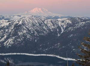
Hex Mountain Trail
7.36 mi / 2710 ft gainHex Mountain is a steep but rewarding out and back hike/snowshoe with 360 views from the peak. On a clear day you can see Mount Rainier, the Teanaways, the Stuart range, and many other surrounding peaks. Low avalanche risk makes this an enjoyable winter destination for snowshoers and backcountry ...Read more -
Packwood, Washington
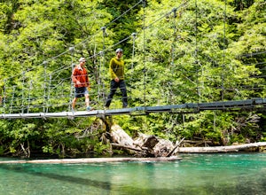
Hike the Grove of the Patriarchs
3.01.5 miThis trail is an easy trail to hike to the end and back. With very little to no elevation gain, some comfy shoes is all you need. There is a great opportunity near the start of the trail to walk down onto the beach and get right next to the river. Shortly after that there is a suspension bridge t...Read more -
Packwood, Washington
Canyoneering Olallie Creek, Mt. Rainier
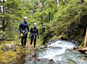
2.5 mi / 700 ft gainDisclaimer: Canyoneering is a dangerous and technical activity. Don’t enter any canyon without the skills to match it, or the knowledge to navigate it. Be sure to check the flow of Olallie creek to ensure that it's safe. In an area where canyoneering isn’t hugely popular, here lies a canyon that ...Read more -
Packwood, Washington
Carter & Narada Falls
3.05.81 mi / 1434 ft gainThis hike starts off with a bang! The first thing you do is walk out into a rocky riverbed and get an amazing view of Mt. Rainier. From there, you'll cross a long log bridge to get over the river and head into the woods. After 1.1 miles, you'll come across Carter Falls, and about 100 feet down t...Read more -
Ronald, Washington
Kayak at Cle Elum Lake
We launched our kayaks from Speelyi Beach right into Cle Elum Lake. Surrounded with views of the beautiful Cascades and the Cle Elum Dam on the northwest side, exploring is endless. Parking: There is a small parking lot at the top of Speelyi Beach or you can drive right onto the beach to launch ...Read more -
North Bend, Washington
Middle Fork Snoqualmie River Trail
27.57 mi / 3609 ft gainThis beautiful tucked-away trail offers runners, hikers, and backpackers a new view of their favorite neighboring peaks - like Mailbox Peak and Mt. Si - from one of the most scenic river trails in the Seattle area. Often overlooked in favor of more rigorous hikes, the Middle Fork is a gently gra...Read more

