Greenwater, Washington
Looking for the best photography in Greenwater? We've got you covered with the top trails, trips, hiking, backpacking, camping and more around Greenwater. The detailed guides, photos, and reviews are all submitted by the Outbound community.
Top Photography Spots in and near Greenwater
-
Enumclaw, Washington
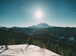
Snowshoe to Sun Top Peak
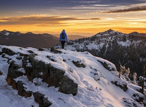
12 mi / 2000 ft gainFrom Tacoma, Wa. take Hwy 167 to Hwy 410 and follow that until you get to the Chinook Pass Hwy. Then from there follow this road and take the second Service Road on the right and follow this road until it dead ends. The trail starts on NF-7315. You have to walk this road until you reach the first...Read more -
Enumclaw, Washington
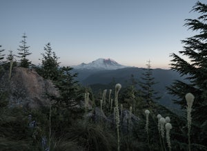
Hike to Kelly Butte
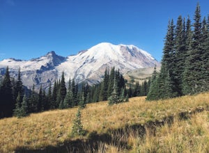
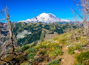
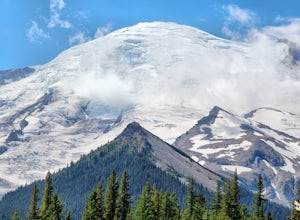
3.4 mi / 1100 ft gainAfter a rough drive to the trailhead you’ll have little time to catch your breath as the trail laces up the mountain side, but with Rainier to distract you, it won’t be long until you’re at the top with a view that is more than enough reward for your efforts. Pay very close attention to the drivi...Read more -
Enumclaw, Washington
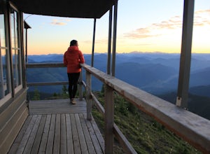
Catch the Sunset at Suntop Lookout
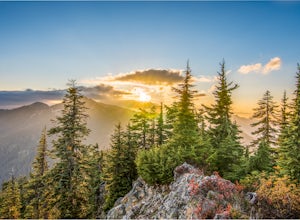
5.0Catching a beautiful sunset has never been so easy. This lookout tower is accessible by vehicle. The road is fairly smooth too. No car would have any trouble getting up to the top. The last gate before the lookout tower/peak is about a mile down. The gate does close at 8pm but is ran by voluntee...Read more -
Enumclaw, Washington
Backpack Noble Knob via Greenwater Trail
16.9 mi / 3920 ft gainFrom Greenwater heading south: Pass the fire station to FR 70 on the left. Follow FR 70 for about nine miles to FR 7033. Take a right and follow the road to the trailhead. Northwest Forest Pass required. The trail is in good shape and mostly flat to Greenwater Lakes which is great for families a...Read more -
Enumclaw, Washington
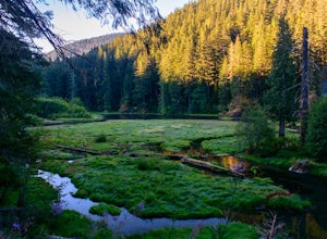
Hike to Greenwater Lakes
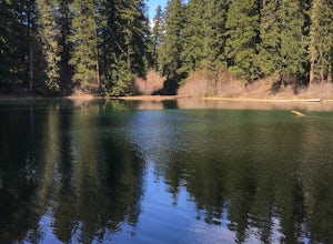
4.5 mi / 900 ft gainFollowing along the Greenwater River, family friendly Greenwater lakes Trail #1176 which has minimal elevation gain, winds through a lush green mossy old growth forest. Along the trail you will cross over several log bridges and pass a couple of beautiful waterfalls. At just under two miles int...Read more -
Carbonado, Washington
Summit Lake
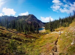
4.56.13 mi / 1499 ft gainSummit Lake, nestled in a small basin just north of Mt. Rainier National Park in the Clearwater Wilderness, has everything a hiker could want in a day-hike or easy overnight backpack. The views, the well-maintained trail, and a perfect distance make this hike a must-do for anybody in the Pacific ...Read more -
Ashford, Washington
See the Milky Way over Mt. Rainier
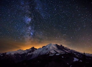
4.82.52 mi / 322 ft gainThe Milky Way and Mount Rainier is a beautiful combination. In order to get a photo of the Milky Way over Mount Rainier you need to be in the right spot at the right time of year. The spot seen in the photographs is a great spot in that it isn't too far of a hike and provides an unobstructed view...Read more -
Ashford, Washington
Mt. Fremont Fire Lookout Trail
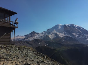
4.65.78 mi / 787 ft gainEscape the crowds at Paradise and come enjoy the best views in the park! Start from the visitor's center parking lot and head up the Sourdough Ridge Trail and hike the 1.3 miles to Frozen Lake. Along the way (depending on the season) you'll hike up snow, through glorious fields of wild flowers, ...Read more -
Ashford, Washington
Hike Sunrise Trails at Mount Rainier
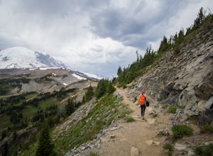
5.06 mi / 1200 ft gainI grew up in Washington, but didn't get out to Mount Rainier until I came home for a visit years later. We took advantage of the nonexistent snowpack and headed up in mid-June, which is normally a terrible time to visit (think late summer). There are two main areas in the park, Sunrise and Paradi...Read more -
Ashford, Washington
Hike to Upper Palisades Lake
6.6 mi / 1200 ft gainPark at the Sunrise Point parking lot and find the Palisades Trail at the northeast corner of the parking lot. If you bring along a pair of binoculars, you can stop at the first overlook on the left and scan the adjacent mountain slopes for the white dots of mountain goats. Continue down the trai...Read more -
Ashford, Washington
Burroughs Mountain Trail
4.69.32 mi / 2270 ft gainThe Burroughs Mountain Trail comes from a series of trails out of the Sunrise Area. First piece of advice is to set your alarm clocks! The parking lot and trails get busy quite quickly, especially in the summer. From the parking lot you will start by taking the Sourdough Ridge Trail up to Frozen...Read more -
Enumclaw, Washington
Norse Peak via Silver Creek
7.77 mi / 2405 ft gainStart out in Crystal parking lot A. There is a small and steep trail that heads up the hill labeled as Silver Creek Trail. The trail follows a horse trail for the majority of the route and gets renamed Bullion Basin Trail shortly after you enter the woods, so when it doubt keep following the hoof...Read more -
Ashford, Washington
Camp at White River in Mount Rainier NP
Getting There From Seattle: Head East on I90 to 405 South, Take the exit for 169 heading towards Enumclaw. I recommend stopping for a bite at the down home, family restaurant called Kitchen in downtown. The food was great with lots of local flavors! Continue on 169 where you will jump on Highway ...Read more -
Ashford, Washington
Summit Mount Ruth, Mt. Rainier NP
10.8 mi / 5090 ft gainMount Ruth presented a challenge as it was a very hot day to be exposed on a ridge for the entire day. The trek begins in White River Campground parking lot and travels along the White River until you exit at Glacier Basin. Crossing the creek you ascend up to the ridge that leads up and up and up...Read more -
Ravensdale, Washington
Whitewater Raft the Green River Gorge
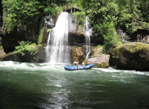
5.0The Green River Gorge is one of the best whitewater options within an hour of the Seattle area. This beautiful scenic rocky gorge offers 14 miles of class III-IV whitewater and lots of great play spots for rafters and kayakers. This section of river is often boated in the late fall, winter, and s...Read more -
Snoqualmie Pass, Washington
Hike Mount Catherine
5.03 mi / 1300 ft gainStart off on the extremely rough Forest Service 9070 road. Follow this for just over 4 miles until you see a sign for trail #1348 on the right. There is only enough room for a couple cars at the trailhead.You start off climbing right away, covering 800 feet of elevation in the first 0.80 miles of...Read more

