Goldendale, Washington
Top Spots in and near Goldendale
-
Cascade Locks, Oregon
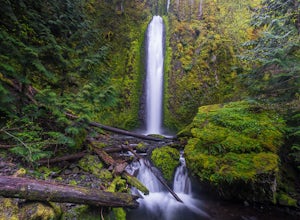
Gorton Creek Falls
4.71.01 mi / 361 ft gainThe Gorton Creek Falls hike provides an excellent challenge for those who are searching for a bit of adventure. The trailhead starts at the Wyeth Campground day use area, and continues straight at the intersection. The first 2/3rds of the trail are relatively easy to traverse (depsite being rough...Read more -
Cascade Locks, Oregon
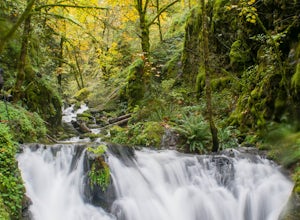
Emerald Falls
2.00.65 mi / 308 ft gainStart at the Wyreth Campground day-use area. If it's closed, park on the side of the road and walk in from the roadway. You'll see an intersection with a wooden bridge crossing the river. Take a few pictures and continue straight on the trail. You'll go about 1/2 mile on the trail until you rea...Read more -
Mount Hood, Oregon
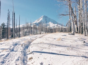
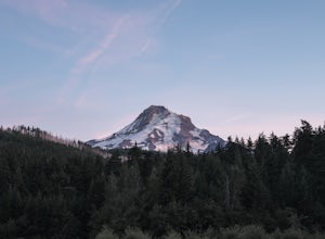
Snowshoe to the Tilly Jane A-Frame
5.02.7 mi / 1900 ft gainBuilt in the 1930's, the Tilly Jane A-Frame sits on the North side of Mount Hood at around 6,000ft. The cabin is very popular during winter months as it is located only 1,000ft below the tree line and offers beautiful snowshoeing, hiking, skiing and snowboarding opportunities, yet is also a popul...Read more -
Maupin, Oregon
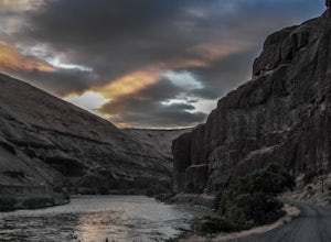
Fly-Fishing the Lower Deschutes River
5.0Spending a day on the lower Deschutes is as rewarding as it gets for a fly-fisherman. The canyon is incredibly beautiful, and the fish are some of the most colorful and athletic you can catch.The mighty Deschutes River is a stunning, blue-ribbon river where people come to fly-fish from around the...Read more -
High Prairie Trailhead, Oregon
Lookout Mountain via High Prairie Trailhead
2.69 mi / 531 ft gainLookout Mountain should be the most popular destination in Oregon given its views to effort ratio. Mount Hood seems close enough to reach out and touch from the open, rocky summit, and views extend from the Three Sisters in the south to Mount Rainier to the north. While the hike is popular in the...Read more -
Skamania County, Washington
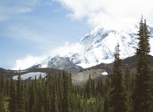
Climb Mount Adams North Cleaver Route
5.017 mi / 7800 ft gainMt Adams is the second tallest volcano in the Cascades and is one of the easiest to climb. There are two main nontechnical routes up Mt Adams, the well-known and crowded route on the south face, and the lesser traveled north cleaver route. The north cleaver offers solitude, views of Rainier, high...Read more -
Skamania County, Washington
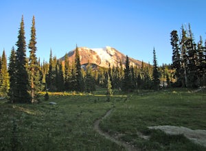
Hike to Adams Glacier Meadows
7.5 mi / 1800 ft gainFor the most of the hike, the mountain is hidden behind the firs that surround the hiker as they gain elevation. Because of the dense forest the trail is remains in for most of the hike, it is nicely shaded and pleasant to wander through. At about 2 miles in, the trail leads the hiker into variou...Read more -
Mount Hood, Oregon
Kayak Laurance Lake
5.0This lake is found about 25 miles south of Hood River, Or. $5 for day use and now other passes are accepted, just keep that in mind. There are camping sites all over the lake as well, so if you are thinking of making a weekend out of it. It wasn't very crowded on a weekend during the summer so y...Read more -
Carson, Washington
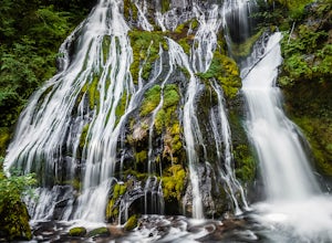
Panther Creek Falls
4.60.64 mi / 180 ft gainThis hidden beauty is just north of Carson, Washington. Watch for Panther Creek campground signs and follow the twisting road about 7 miles to a rock quarry and park there. The trail begins just off the road about 50 yards back - keep an eye out for signs for the trailhead and listen for the fall...Read more -
Skamania County, Washington
Camp at Takhlakh Lake
5.0Takhlakh Lake is located 7 miles NW of Mt Adams with a 53 site campground on the west side of the lake as well as a day use picnic area.The campground features a boat ramp and a wheelchair-accessible 1.1 mile flat trail, which encircles the lake, and accesses the Meadows Trail that climbs up to t...Read more -
Mount Hood, Oregon
Cooper Spur
5.06.87 mi / 3097 ft gainCooper Spur is located on the north east side of Mount Hood. This is the hike to do if you want to get up close and personal with the mountain. To get there you have to drive around 10 miles up a bumpy dirt road, once off the main road. Low-clearance vehicles can make it but high clearance vehic...Read more -
Cascade Locks, Oregon
Tomlike Mountain
4.57.65 mi / 1198 ft gainBeginning at the Wahtum Lake trailhead, follow the Wahtum Lake Express trail down to the shore and head east (right) around the lake. At the junction with the Pacific Crest Trail, follow the Herman Creek Trail to the east (right, again). You'll begin your ascent out of the Wahtum Lake bowl and to...Read more -
Cascade Locks, Oregon
Chinidere Mountain
4.83.18 mi / 1150 ft gainThe easy version of the Chinidere Mountain hike starts Wahtum Lake Trailhead. The road to the parking lot for Wahtum Lake is paved and thus very easy to access in summer and before snowfall in autumn! The mountain sits across the lake from the parking lot and there are several trails that will ta...Read more

