Glenwood, Washington
Looking for the best photography in Glenwood? We've got you covered with the top trails, trips, hiking, backpacking, camping and more around Glenwood. The detailed guides, photos, and reviews are all submitted by the Outbound community.
Top Photography Spots in and near Glenwood
-
Cougar, Washington
Loowit Trail Loop
4.032.46 mi / 7014 ft gainThis is a very difficult hike. Camp sites are scarce and access to water is very limited. Overexposure is a concern so be sure to pack a hat and apply sunscreen frequently. There are sketchy sections of the trail where you will be forced to navigate steep washed out gullies that are unstable due ...Read more -
Mount Hood, Oregon
Kayak Laurance Lake
5.0This lake is found about 25 miles south of Hood River, Or. $5 for day use and now other passes are accepted, just keep that in mind. There are camping sites all over the lake as well, so if you are thinking of making a weekend out of it. It wasn't very crowded on a weekend during the summer so y...Read more -
Skamania County, Washington
Hike to Norway Pass
4.4 mi / 860 ft gainJust 96 miles south of Seattle, and 50 miles northeast of Portland, Mt. St. Helens and its wild, rugged beauty awaits you.Starting at the Norway Pass Trailhead parking lot, walk a dusty and sometimes ashy trail through recovering forest, low brush, wildflowers and blown down, sun bleached logs. T...Read more -
Cougar, Washington
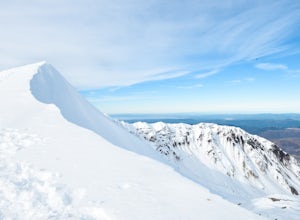
Mount St. Helens Summit via Worm Flows
4.810.53 mi / 5725 ft gainThe Worm Flow Route, starting at Marble Mountain Sno Park, is the most direct winter route up to the summit. You'll start at around 2,700 feet and begin a steady walk along the trail for 2 miles. Although the trail is fairly well marked well above the snow, you'll want to pay attention to the arr...Read more -
Cougar, Washington
Mount St. Helens Summit via Monitor Ridge
4.48.64 mi / 4652 ft gainMonitor Ridge is the "easiest" of the routes one can take in order to claim that they have stood on top of the sleeping giant better known as Mount St. Helens. This route is heavily favored over Worm Flows as the starting elevation is not only an additional 1,000 feet higher but the overall asce...Read more -
Randle, Washington
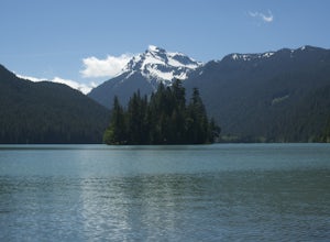
Hike to Packwood Lake
9.2 mi / 1535 ft gainThis is a relatively tame hike through the beautiful Gifford Pinchot National Forest, winding to the Goat Rocks Wilderness. With only 600 feet of elevation gain over 4.6 miles in, I would recommend it for hiking or trail running. Keep in mind this trail is open to horses and other stock so you ma...Read more -
Stevenson, Washington
Hardy and Rodney Falls
4.02.17 mi / 699 ft gainLocated along the Hamilton Mountain Trail, the Hardy and Rodney falls out and back hike is a good alternative for those looking for a shorter hike compared to the 7.6-mile hike to the top of Hamilton Mountain. From the Hamilton Mountain Trailhead, you will follow the trail through thick trees fo...Read more -
Cascade Locks, Oregon
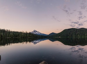
Camp at Lost Lake
4.7When the temperature starts to creep up in the summer, Lost Lake is the perfect escape. The campground provides you with everything you could want – miles of scenic hiking, a multitude of water activities, and even a general store for anything you might have forgotten at home.The lakeside tent ca...Read more -
Cascade Locks, Oregon
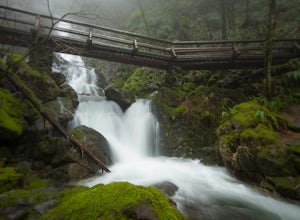
Elowah Falls
4.81.36 mi / 512 ft gainMultnomah Falls, which is about 5 miles from Elowah [along the Historic Columbia River Highway] takes a large portion of the crowd due to its visibility from the highway. With that said, you may get a much more deserted Elowah Falls if you decide to take the short but steep 15-minute hike to it...Read more -
Cascade Locks, Oregon
Upper McCord Creek Falls
4.71.98 mi / 617 ft gainStarting at the John B Yeon Trailhead parking lot, begin to walk into the forest. After a little more than a quarter mile, you will see a fork in the road, with one way leading to Elowah Falls, and the other way leading to Upper McCord Creek Falls. Take the trail leading to Upper McCord Creek. Th...Read more -
Mount Hood, Oregon
Snowshoe to the Tilly Jane A-Frame
5.02.7 mi / 1900 ft gainBuilt in the 1930's, the Tilly Jane A-Frame sits on the North side of Mount Hood at around 6,000ft. The cabin is very popular during winter months as it is located only 1,000ft below the tree line and offers beautiful snowshoeing, hiking, skiing and snowboarding opportunities, yet is also a popul...Read more -
Cougar, Washington
Explore the Ape Caves
4.0As if erupting volcanoes weren't awesome enough, ancient lava flows also left behind these giant, hollow tubes as they cooled. Spend all day exploring deep underground in this 2.5 mile cave.To get there, head to the SOUTH side of Mount Saint Helens. You must pass through the town of Cougar to get...Read more -
Mount Hood, Oregon
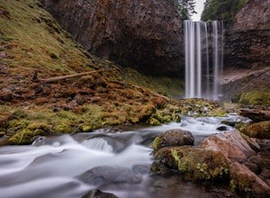
Tamanawas Falls
4.43.37 mi / 722 ft gainThis easy trail in the Mt Hood National Forest has a journey just as lovely as the destination. The hike follows closely along the banks of Cold Spring Creek, up through a massive boulder field, and finally arrives at the 150ft tall Tamanawas Hiking directions: Starting at the East Fork- Tamanaw...Read more -
Mount Hood, Oregon
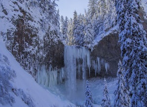
Snowshoe to Tamanawas Falls
4.53.6 mi / 590 ft gainStarting at the Sherwood Trailhead, follow the sign towards Tamanwas Falls. You will walk through the woods towards the river, and cross it on the log bridge. After crossing the creek, you will begin to head uphill. Keep going this way through the woods for nearly 2 miles, and you will reach the ...Read more -
Amboy, Washington
Siouxon Trail to 14 Mile Falls
5.013.03 mi / 2310 ft gainWhen you park at the top of the trail, all you see is layers and layers of emerald trees and ground clear of any underbrush. Once on the trail, you start on a rapid decline that brings you to the first of the many streams along this hike. Cross the bridge made out of logs and head towards the ma...Read more -
Mount Hood, Oregon
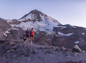
Cooper Spur
5.06.87 mi / 3097 ft gainCooper Spur is located on the north east side of Mount Hood. This is the hike to do if you want to get up close and personal with the mountain. To get there you have to drive around 10 miles up a bumpy dirt road, once off the main road. Low-clearance vehicles can make it but high clearance vehic...Read more

