Glenwood, Washington
Looking for the best photography in Glenwood? We've got you covered with the top trails, trips, hiking, backpacking, camping and more around Glenwood. The detailed guides, photos, and reviews are all submitted by the Outbound community.
Top Photography Spots in and near Glenwood
-
Washougal, Washington
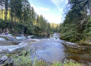
Naked Falls
5.0The family friendly Naked Falls is just 20 minutes outside of Camas, Washington. It is a great introduction to kids of the great Pacific Northwest. It is also a great reminder for cliff jumpers that there are still great spots that aren’t too far from home. A $12 fee per car is required for parki...Read more -
High Prairie Trailhead, Oregon
Lookout Mountain via High Prairie Trailhead
2.69 mi / 531 ft gainLookout Mountain should be the most popular destination in Oregon given its views to effort ratio. Mount Hood seems close enough to reach out and touch from the open, rocky summit, and views extend from the Three Sisters in the south to Mount Rainier to the north. While the hike is popular in the...Read more -
Cascade Locks, Oregon
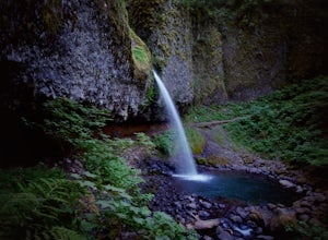
Ponytail Falls
4.60.85 mi / 463 ft gainPonytail Falls is an easy 0.8 mile hike located in the gorge that begins at Horsetail Falls. After hiking up mild switchbacks, continue to your right at the first trailhead intersection. The path levels out before coming around the mountain and opening up to the waterfall. This is the easiest wa...Read more -
Cascade Locks, Oregon
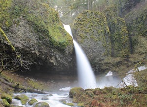
Horsetail Falls Loop
4.52.56 mi / 610 ft gainStart off on this loop from Horsetail Falls Trailhead. It never hurts to start a hike with a view of Horsetail Falls. This 2.5 mile loop will start you off on Gorge trail #400 up Horsetail Falls Trail. You’ll encounter a few switchbacks before the trail flattens out and leads you into the valley ...Read more -
Toutle, Washington
Hike to Coldwater Peak via Boundary Trail
5.014.8 mi / 2700 ft gainThe Boundary trail is amazing. It's 54 miles long and runs for the most part along a ridge in Gifford Pinchot National Forest. You can climb various peaks and viewpoints right off the trail, but this trip report is for climbing Coldwater Peak and hiking up to Harry's Ridge Viewpoint on the way. H...Read more -
Cascade Locks, Oregon
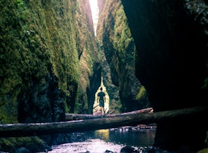
Oneonta Gorge
4.80.92 mi / 531 ft gain*Currently closed (except a small portion of the upper trail between Multnomah Spur and Trail #444 on Larch Mountain)...here This hike is very short (1 mile roundtrip) but does take some time to do. The trail leads down from the road into a stream bed. You follow the stream bed upstream through ...Read more -
Corbett, Oregon
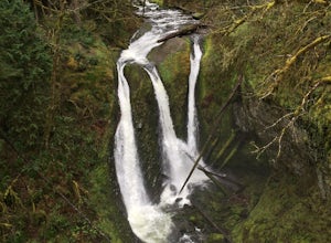
Triple Falls
4.53.4 mi / 1168 ft gainAccess to Triple Falls is currently closed. Learn more on the Forest Service Site. This hike, starting at the Oneonta Trailhead is a 3.2 mile roundtrip. You will gain approximately 600 feet in elevation as the trail often switches from moderate flat easy hiking to more difficult elevation gain a...Read more -
Toutle, Washington
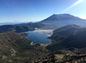
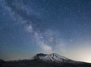
Loowit Viewpoint
5.0From roughly May to September, both star gazers and photographers alike travel to the darkest locations in order to capture something truly magnificent- the galactic core of the milky way. The Loowit Viewpoint is unlike any around due to the perfect combination of it's remote location, higher ele...Read more -
Mount Hood, Oregon
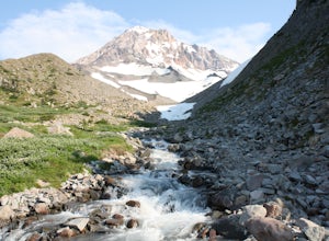
McNeil Point via Top Spur Trailhead
4.97.17 mi / 2428 ft gainThe hike to McNeil Point begins at Top Spur Trailhead, in the Mt. Hood National Wilderness. Follow signs for McNeil Point along the Pacific Crest and Timberline Trails heading north. Though there are numerous camping opportunities along the way (most of the route follows the PCT), an old stone s...Read more -
Mount Hood, Oregon
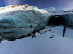
Hike to Sandy Glacier Caves
4.512.5 mi / 2800 ft gainThe hike to the caves begins at Top Spur Trailhead. The hike to McNeil Point is 5.4 miles one way, and 2200 feet of elevation gain. The trail starts in the forest, but will eventually open up to views of Mt Hood, as well as St. Helens, Adams and Rainier on a clear day.There is a shortcut up to Mc...Read more -
Yacolt, Washington
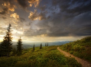
Hike Silver Star Mountain
4.6Silver Star is simply a must-do hike for adventure lovers here in the Northwest!From the parking area, take the main trail up to the first open meadow. Eds Trail splits off here, meeting back up just before the summit. Be warned, Eds Trail is much steeper in sections and is more difficult than th...Read more -
Ariel, Washington
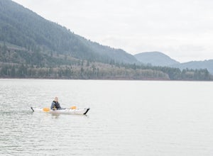
Kayak at Yale Lake
5.0Just 55 miles northeast of Portland lies a body of water so pure you have to see it to believe it...that's right, we're talking about Yale Lake. One of three lakes beneath Washington's ever rumbling Mount St Helens, Yale offers the outdoor lover just about everything they could ask for: calm wat...Read more -
Toutle, Washington
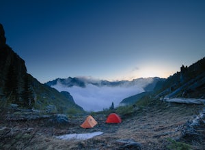
Mount Margaret's Ridge Camp via Coldwater Trailhead
3.57.12 mi / 1634 ft gainThe hike is relatively easy. I'd say intermediate due to the incline at the beginning. Also intermediate due to it being an backpacking camp adventure. A friend of mine and I backpacked in to shoot the sunset and sunrise. We went a little early in the season so it was also to scout for future ad...Read more

