Easton, Washington
Top Spots in and near Easton
-
Ashford, Washington
Hike Sunrise Trails at Mount Rainier
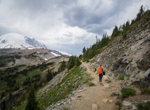
5.06 mi / 1200 ft gainI grew up in Washington, but didn't get out to Mount Rainier until I came home for a visit years later. We took advantage of the nonexistent snowpack and headed up in mid-June, which is normally a terrible time to visit (think late summer). There are two main areas in the park, Sunrise and Paradi...Read more -
Ashford, Washington
Hike Dege Peak in Mount Rainier National Park
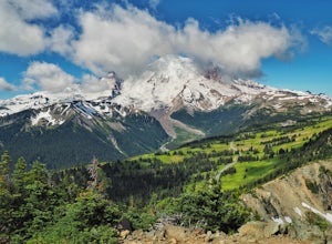
5.03.5 mi / 600 ft gainWhile most hikers who park at the Sunrise Visitor Center head west to get closer to the peak of Mount Rainier, heading east will take you away from the crowds while still providing incredible views. Starting from the parking lot, head north up a set of stairs. When you reach the split in the tra...Read more -
Ashford, Washington
Burroughs Mountain Trail
4.69.32 mi / 2270 ft gainThe Burroughs Mountain Trail comes from a series of trails out of the Sunrise Area. First piece of advice is to set your alarm clocks! The parking lot and trails get busy quite quickly, especially in the summer. From the parking lot you will start by taking the Sourdough Ridge Trail up to Frozen...Read more -
Ashford, Washington
Summerland Trail
5.08.62 mi / 2359 ft gainThe Summerland trail is by far the easiest trail that I ever experienced. The trail is well maintained and for the first 3 miles you are surrounded by trees and the sound of waterfalls and rivers, and it's green everywhere. The last 1.3 miles, you encounter switchbacks and you can get some view...Read more -
Ashford, Washington
Hike to Mount Rainier's Panhandle Gap
5.012 mi / 3000 ft gainThe trail is 12 mi round trip but don’t let the distance for an out and back turn you off - this hike is fantastic and even better with a beer at the top. The trail winds its way through an old growth forest and shortly joins the Wonderland Trail. After crossing a crick the trail steepens and beg...Read more -
Ashford, Washington
Climb Little Tahoma/East Shoulder
17 mi / 7450 ft gainStart from the Summer Land Trail Head at the Fryingpan Creek parking lot just West of the White River Ranger Station in Mount Rainier National Park. Beginning at an elevation of 3,800 feet, you'll head southeast along the Summer Land Trail for 4.5 miles, tracing the Fryingpan Creek. There are a f...Read more -
Skykomish, Washington
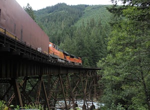
Photograph the Foss River Trestle
5.0Traveling east from Seattle on Highway 2, take a right hand turn onto Foss River Road (Road 68) just after the township of Skykomish. The pavement ends in 1.1 miles, beyond that be cautious of potholes. Continue along this road for a further 1.3 miles, at which point you will pass under a railroa...Read more -
Ashford, Washington
Camp at White River in Mount Rainier NP
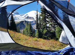
Getting There From Seattle: Head East on I90 to 405 South, Take the exit for 169 heading towards Enumclaw. I recommend stopping for a bite at the down home, family restaurant called Kitchen in downtown. The food was great with lots of local flavors! Continue on 169 where you will jump on Highway ...Read more -
Ashford, Washington
Summit Mount Ruth, Mt. Rainier NP
10.8 mi / 5090 ft gainMount Ruth presented a challenge as it was a very hot day to be exposed on a ridge for the entire day. The trek begins in White River Campground parking lot and travels along the White River until you exit at Glacier Basin. Crossing the creek you ascend up to the ridge that leads up and up and up...Read more -
North Bend, Washington
Little Si
3.64.01 mi / 1250 ft gainLittle Si, neighbor to the bigger Mount Si is a decent hike for beginners and families with younger children. It is 4.7 miles round trip (including Boulder Garden Loop - 1.5 miles) gaining 1300ft in elevation - Discover Pass required. This trail is very popular, so if you want seclusion avoid thi...Read more -
Leavenworth, Washington
Scenic Hot Springs
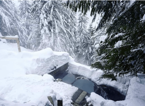
3.21 mi / 1135 ft gainScenic Hot Springs is a privately owned hot spring located near Stevens Pass outside of Leavenworth, Washington. To access the three steaming pools, please visit ScenicHotSprings.com to make a reservation. Reservations are required. The three tubs have varying temperatures and only 10 people ar...Read more -
Skykomish, Washington
Pacific Crest Trail's Section J: Stevens Pass to Snoqualmie Pass
70.27 mi / 14911 ft gainThis is the Section J hike of the Pacific Crest Trail between Stevens and Snoqualmie Pass. It is about a 70 mile hike, and I started near Stevens Pass heading South. The PCT starts at the Stevens Pass Ski Resort off of Highway 2. The trail starts out under chairlifts and through ski runs – I chos...Read more -
Skykomish, Washington
Climb Slippery Slab Tower
13 mi / 4200 ft gainStart out at the Tunnel Creek trailhead. You will follow the trail for about 1.6 miles until you reach Hope Lake and the PCT. From here, you want to travel south along the PCT.For the next 3/4 of a mile, you will hike up switchbacks until you reach the saddle, where it will start to level out a b...Read more -
Carbonado, Washington
Summit Lake
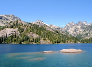
4.56.13 mi / 1499 ft gainSummit Lake, nestled in a small basin just north of Mt. Rainier National Park in the Clearwater Wilderness, has everything a hiker could want in a day-hike or easy overnight backpack. The views, the well-maintained trail, and a perfect distance make this hike a must-do for anybody in the Pacific ...Read more -
Carbonado, Washington
Hike Bearhead Mountain
5.06 mi / 1800 ft gainFormerly the site of an old fire lookout, Bearhead Mountain located in the Clearwater Wilderness, provides great unobstructed views of the north side of Mount Rainier, Little Tahoma, and many other surrounding Cascade mountain peaks. In the summer months you are likely to encounter great wildflow...Read more -
Skykomish, Washington
Beckler Peak
7.55 mi / 2139 ft gainLooking for a gradual forest hike up to a peak with 360° views of the Cascades? Beckler Peak trail winds through old growth, past rushing waterfalls, and up to a granite summit. From the top, you can see mountains in the Cascades such as Glacier Peak, Mount Baring, Mount Index, Evergreen Mounta...Read more

