Easton, Washington
Looking for the best photography in Easton? We've got you covered with the top trails, trips, hiking, backpacking, camping and more around Easton. The detailed guides, photos, and reviews are all submitted by the Outbound community.
Top Photography Spots in and near Easton
-
Carbonado, Washington
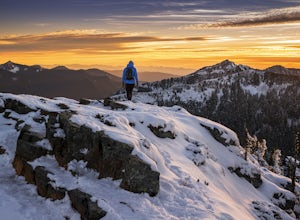
Summit Lake
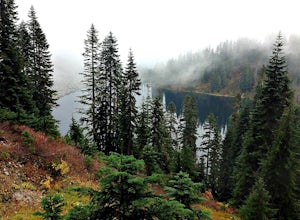
4.56.13 mi / 1499 ft gainSummit Lake, nestled in a small basin just north of Mt. Rainier National Park in the Clearwater Wilderness, has everything a hiker could want in a day-hike or easy overnight backpack. The views, the well-maintained trail, and a perfect distance make this hike a must-do for anybody in the Pacific ...Read more -
Skykomish, Washington
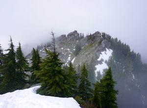
Beckler Peak
7.55 mi / 2139 ft gainLooking for a gradual forest hike up to a peak with 360° views of the Cascades? Beckler Peak trail winds through old growth, past rushing waterfalls, and up to a granite summit. From the top, you can see mountains in the Cascades such as Glacier Peak, Mount Baring, Mount Index, Evergreen Mounta...Read more -
Ravensdale, Washington
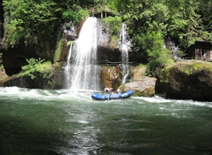
Whitewater Raft the Green River Gorge
5.0The Green River Gorge is one of the best whitewater options within an hour of the Seattle area. This beautiful scenic rocky gorge offers 14 miles of class III-IV whitewater and lots of great play spots for rafters and kayakers. This section of river is often boated in the late fall, winter, and s...Read more -
Skykomish, Washington
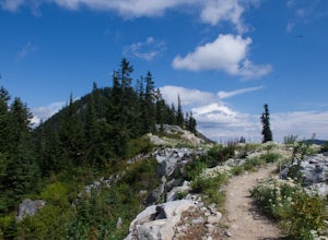
Hike to Josephine Lake
10.4 mi / 2100 ft gainStarting in the parking lot at Steven's Pass Ski Resort (roughly 4,062 feet in elevation; I recommend parking in E lot), start by walking between the two main lodges towards the ski lifts. You'll see a trail on the northwest-facing slope that switches back across the mountain - this is the PCT. O...Read more -
Skykomish, Washington
Snowshoe Lake Valhalla
11.6 mi / 1500 ft gainYou start out at Stevens Pass just across the street from the lodge. The trailhead is slightly hidden but it is located to the left of the substation. Parking is plenty before ski-season. Once you are all geared up, you wanna hit the trail running cause this is a long one to snowshoe. With short...Read more -
Leavenworth, Washington
Skyline Lake Trail
4.52.41 mi / 1020 ft gainThis 2.5 mile roundtrip hike with a little over 1,000 feet of elevation gain is a great winter trip for beginners. The trail is typically well-worn, making it easy to stay on target even in some of the most difficult conditions. If you have route finding and off trail skills, you can venture ou...Read more -
Snoqualmie, Washington
Rattlesnake Mountain Trail
4.010.54 mi / 2664 ft gainThe Rattlesnake Mountain Trail is often associated with Rattlesnake Ledge, one of the busiest hiking destinations around. But most people don't know that you can continue on from Rattlesnake Ledge another 10 miles to Snoqualmie Point Park. Using the Snoqualmie Point Trailhead, this hike is a wo...Read more -
Peshastin, Washington
Hike Sauer’s Mountain
4.06 mi / 2000 ft gainSauer’s Mountain is one of those well defined, moderate, and rewarding hikes that give you just the right amount of views for the effort, but the real treat is catching the wildflower bloom in mid-May. The trailhead is located on private property. Start by parking along the private drive and walk...Read more -
Black Diamond, Washington
Hike Franklin Ghost Town
Visited here in August and the water was possibly the coldest I've ever swam in. A great half-day trip as the hikes are easy and the spots are quick to get to. The falls are located just to side of the road with a couple of different places to park. There's a $5 or $10 entrance/parking fee. A gre...Read more -
33317 Southeast Green River Gorge Road, Washington
Explore the Green River Gorge
3.5The Franklin Ghost Town trailhead is just a large muddy lot, surrounded by no trespassing signs. When you pull in you will see signs for a $5 day use fee, just fill out the form and drop it in the box. There are two trails that leave the lot, one heads down to the river and is probably a mile rou...Read more -
Snoqualmie, Washington
Snoqualmie Falls
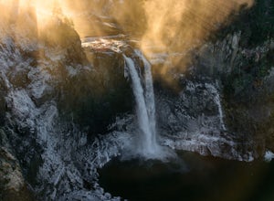
4.21.4 mi / 509 ft gainSnoqualmie Falls is one of the most popular waterfalls in Washington. The waterfall is almost 270 feet tall and ranges in width all the way up to 150 feet when the water is really running. On sunny, warm days, it can be a little overrun with tourists. Figure out where you want to get your photo ...Read more -
Packwood, Washington
Hike the Grove of the Patriarchs
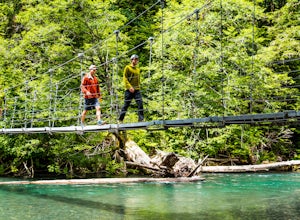
3.01.5 miThis trail is an easy trail to hike to the end and back. With very little to no elevation gain, some comfy shoes is all you need. There is a great opportunity near the start of the trail to walk down onto the beach and get right next to the river. Shortly after that there is a suspension bridge t...Read more -
Packwood, Washington
Canyoneering Olallie Creek, Mt. Rainier
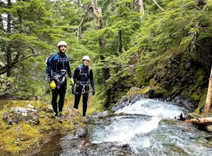
2.5 mi / 700 ft gainDisclaimer: Canyoneering is a dangerous and technical activity. Don’t enter any canyon without the skills to match it, or the knowledge to navigate it. Be sure to check the flow of Olallie creek to ensure that it's safe. In an area where canyoneering isn’t hugely popular, here lies a canyon that ...Read more -
Leavenworth, Washington
Hike to the Summit of Mt. McCausland
8 mi / 1800 ft gainBegin by driving a fairly smooth Forest Road 6700 for 2.5 miles to the Smith Brook Trailhead and park in the space on the left. Much of the signage has been taken down along the trail, so it may be helpful to bring some written directions with you. The hike begins by keeping close to the road, me...Read more -
Leavenworth, Washington
Day Hike to Lake Valhalla
4.57 mi / 1500 ft gainThe Smith Brook trail starts off with several switchbacks, then continues up to Union Gap where it meets the Pacific Crest Trail. Turn south (left) at Union Gap and continue hiking until you reach the gap between Mount Lichtenberg and McCausland, where you get a first glimpse of Lake Valhalla.Jus...Read more -
Ashford, Washington
Hike to Spray Park
5.07 miThe trailhead to Spray Park begins at the Mowich Lake Campground (4,929 ft). You'll begin descending quickly for the first 0.1 miles until you reach the Wonderland Trail junction. Head left and make your way up a steady climb for the next 1.7 miles. The first stop you'll come across is Eagle Clif...Read more

