Cook, Washington
Looking for the best hiking in Cook? We've got you covered with the top trails, trips, hiking, backpacking, camping and more around Cook. The detailed guides, photos, and reviews are all submitted by the Outbound community.
Top Hiking Spots in and near Cook
-
Clackamas County, Oregon
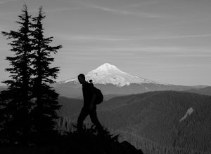
Tumala (Squaw) Mountain
4.74.51 mi / 1099 ft gainOn a clear day, this short, secluded hike offers breath-taking views of Mt. St. Helens, Mt. Rainier, Mt. Adams, Mt. Hood, and Mt. Jefferson, as well as of downtown Portland, Coast Range, and the Roaring River Wilderness. Begin the hike from the Twin Springs Trailhead and immediately take your fi...Read more -
Cougar, Washington
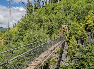
Hike the Lava Canyon
3.06.5 miStarting at the Lava Canyon Trailhead, you will walk on a paved trail down a few switchbacks until you reach the river, where you can go right or left. Either way takes you to the suspension bridge, but I recommend going right if you are following this guide. It will make more sense in a moment.A...Read more -
Cougar, Washington
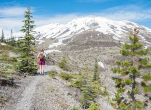
Hike to Ape Canyon
9.6 mi / 1650 ft gainNot to be confused with the ever so popular Ape Caves, the Ape Canyon is a moderately challenging hike that remains above ground, climbing a total of 1650 feet in elevation parallel to the Muddy River. Although originally designed as a hiking trail, this route has become increasingly popular wit...Read more -
Cougar, Washington
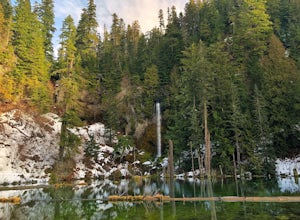
June Lake
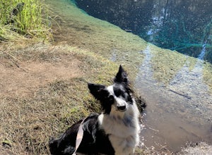
2.47 mi / 0 ft gainJune Lake, is a beautiful mountain lake located in Gifford Pinchot National Forest, Washington. The out-and-back trail starts at the June Lake Trailhead and parking area. This hike is family-friendly at just under 2.5 miles to June Lake. Dogs are permitted on the trail on their leash. This park...Read more -
Cougar, Washington
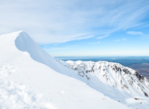
Mount St. Helens Summit via Worm Flows
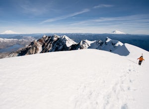
4.810.53 mi / 5725 ft gainThe Worm Flow Route, starting at Marble Mountain Sno Park, is the most direct winter route up to the summit. You'll start at around 2,700 feet and begin a steady walk along the trail for 2 miles. Although the trail is fairly well marked well above the snow, you'll want to pay attention to the arr...Read more -
Cougar, Washington
June Lake Loop via Pine Martin Trail
5.05.93 mi / 1079 ft gainIn the winter you will need to start at Marble Mt. Snowpark and purchase a snow park permit. The hike starts here on the eastern side. Follow the Pine Ski Trail for about 1 mile along NF-83 Road. Then follow the June Lake Trailhead up to June Lake for about 1.5 miles. You will come to June Lake a...Read more -
Cougar, Washington
Explore the Ape Caves
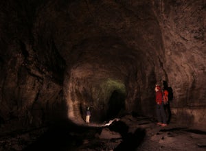
4.0As if erupting volcanoes weren't awesome enough, ancient lava flows also left behind these giant, hollow tubes as they cooled. Spend all day exploring deep underground in this 2.5 mile cave.To get there, head to the SOUTH side of Mount Saint Helens. You must pass through the town of Cougar to get...Read more -
Clackamas County, Oregon
Little Crater Lake to Timothy Lake Campground
3.42 mi / 338 ft gainLittle Crater Lake to Timothy Lake Campground is an out-and-back trail that takes you by a lake located near Government Camp, Oregon.Read more -
Cougar, Washington
Mount St. Helens Summit via Monitor Ridge
4.48.64 mi / 4652 ft gainMonitor Ridge is the "easiest" of the routes one can take in order to claim that they have stood on top of the sleeping giant better known as Mount St. Helens. This route is heavily favored over Worm Flows as the starting elevation is not only an additional 1,000 feet higher but the overall asce...Read more -
Skamania County, Washington
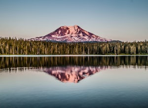
Camp at Takhlakh Lake
5.0Takhlakh Lake is located 7 miles NW of Mt Adams with a 53 site campground on the west side of the lake as well as a day use picnic area.The campground features a boat ramp and a wheelchair-accessible 1.1 mile flat trail, which encircles the lake, and accesses the Meadows Trail that climbs up to t...Read more -
Skamania County, Washington
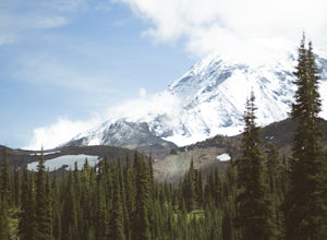
Climb Mount Adams North Cleaver Route
5.017 mi / 7800 ft gainMt Adams is the second tallest volcano in the Cascades and is one of the easiest to climb. There are two main nontechnical routes up Mt Adams, the well-known and crowded route on the south face, and the lesser traveled north cleaver route. The north cleaver offers solitude, views of Rainier, high...Read more -
Skamania County, Washington
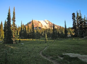
Hike to Adams Glacier Meadows
7.5 mi / 1800 ft gainFor the most of the hike, the mountain is hidden behind the firs that surround the hiker as they gain elevation. Because of the dense forest the trail is remains in for most of the hike, it is nicely shaded and pleasant to wander through. At about 2 miles in, the trail leads the hiker into variou...Read more -
Ariel, Washington
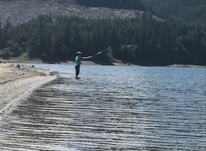
Fly Fish Merrill Lake
1 mi / 100 ft gainSurrounded by old growth forest, Merrill Lake near Cougar, Washington is the perfect little gem to get in some late summer, mid-elevation mountain lake fishing. The morning and evening hatches are known state wide for the size of fish they attract. There are stories of Eagles even stealing trout ...Read more -
Clackamas County, Oregon
Bike the Timothy Lake Trail
4.515 miLocated about 2 hours outside of Portland, Timothy lake is a great home base to adventure from. It has many campgrounds, lots of lake access and great loop around the lake that is open to both hiking and Mt biking. While the hiking loop is 13 miles, the Mt. bike loop is 15 since you need to make ...Read more -
Maupin, Oregon
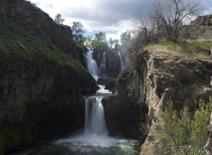
White River Falls
4.40.78 mi / 177 ft gainWhite River Falls is perfect for those looking for an easy hike with great rewards. From the parking lot, it is a brisk walk to a view point, where you can immediately take in the gorgeous falls! To get down to the bottom of the falls, turn left and begin walking down the trail. You will cross a...Read more -
Maupin, Oregon
Explore White River Falls State Park
White River Falls is located 35 miles south of The Dalles and 4.5 miles east of Tygh Valley. With only a short walk from the parking area to the viewing area and trails leading down to the water.White River Falls, which is the furthest upstream, drops about 75 feet with multiple channels, and at ...Read more

