Cook, Washington
Looking for the best hiking in Cook? We've got you covered with the top trails, trips, hiking, backpacking, camping and more around Cook. The detailed guides, photos, and reviews are all submitted by the Outbound community.
Top Hiking Spots in and near Cook
-
Skamania County, Washington
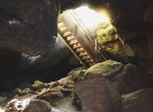
Camp Forlorn Lakes & Explore Guler Ice Cave
Camp at scenic and easily-accessible Forlorn Lakes, where the 25 campsites ($10/night) are both isolated and roomy. Sites have a picnic table and fire ring and provide access to the series of lakes, as well as the East Crater Trailhead which leads into the Indian Heaven Wilderness.Nearby, explore...Read more -
Cascade Locks, Oregon
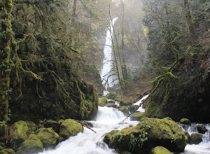
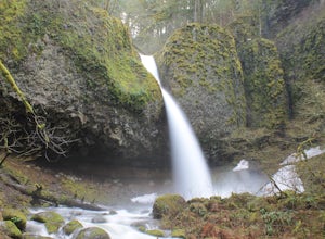
Elowah Falls
4.81.36 mi / 512 ft gainMultnomah Falls, which is about 5 miles from Elowah [along the Historic Columbia River Highway] takes a large portion of the crowd due to its visibility from the highway. With that said, you may get a much more deserted Elowah Falls if you decide to take the short but steep 15-minute hike to it...Read more -
Cascade Locks, Oregon
Upper McCord Creek Falls
4.71.98 mi / 617 ft gainStarting at the John B Yeon Trailhead parking lot, begin to walk into the forest. After a little more than a quarter mile, you will see a fork in the road, with one way leading to Elowah Falls, and the other way leading to Upper McCord Creek Falls. Take the trail leading to Upper McCord Creek. Th...Read more -
Stevenson, Washington
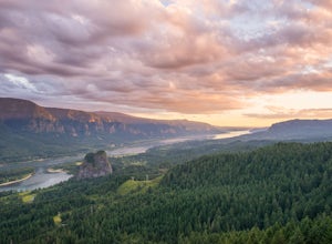
Hamilton Mountain
4.25.61 mi / 2336 ft gainHamilton Mountain has one of the best views in the Columbia Gorge. The hike starts out with a gradual uphill climb through an old-growth forest. After about a half-mile in you will come to a clearing where you can see the ridge line going up to the top of Hamilton Mountain. From there you'll pass...Read more -
Stevenson, Washington
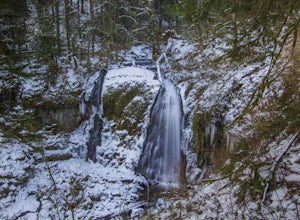
Hardy and Rodney Falls
4.02.17 mi / 699 ft gainLocated along the Hamilton Mountain Trail, the Hardy and Rodney falls out and back hike is a good alternative for those looking for a shorter hike compared to the 7.6-mile hike to the top of Hamilton Mountain. From the Hamilton Mountain Trailhead, you will follow the trail through thick trees fo...Read more -
Stevenson, Washington
Beacon Rock
3.61.49 mi / 351 ft gainBeacon Rock is one of the most recognizable landmarks along the Columbia River Gorge. It’s an 848-foot basalt monolith (a singular piece of rock) that was once the core of an ancient volcano. To access the rock, park in a developed parking area at the rock’s base that has room for about 30 cars. ...Read more -
Stevenson, Washington
Three Corner Rock
4.03.86 mi / 1093 ft gainFrom the Rock Creek Pass Trailhead, begin the short hike to Three Corner Rock by heading south on the Pacific Crest Trail from its crossing of Road CG 2090. After a steady 1.5-mile climb of roughly 600 feet, look for a large fallen sign marking the junction to Three Corner Rock. Shortly after, an...Read more -
Carson, Washington
Falls Creek Falls
4.85.82 mi / 1512 ft gainThe trail to Falls Creek Falls is well maintained with a few short moderately steep areas. The trail hugs the creek for the first mile, and takes you through old growth trees for the second mile. Once the falls are in sight, make sure to stop and look up to see the top tier through the trees. It'...Read more -
Lyle, Washington
Hike Lyle Cherry Orchard
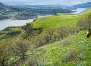
5.05 mi / 1100 ft gainThis hike is actually on a nature preserve owned by the Friends of the Columbia Gorge, on the Washington side of the Columbia Gorge. It's fairly unknown and you can enjoy amazing views of the Gorge, wildflowers during the springtime, and a trek through an old oak forest. The hike begins at an unm...Read more -
Mount Hood, Oregon
Snowshoe to the Tilly Jane A-Frame
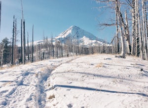
5.02.7 mi / 1900 ft gainBuilt in the 1930's, the Tilly Jane A-Frame sits on the North side of Mount Hood at around 6,000ft. The cabin is very popular during winter months as it is located only 1,000ft below the tree line and offers beautiful snowshoeing, hiking, skiing and snowboarding opportunities, yet is also a popul...Read more -
Mount Hood, Oregon
Cooper Spur
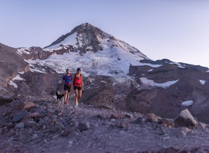
5.06.87 mi / 3097 ft gainCooper Spur is located on the north east side of Mount Hood. This is the hike to do if you want to get up close and personal with the mountain. To get there you have to drive around 10 miles up a bumpy dirt road, once off the main road. Low-clearance vehicles can make it but high clearance vehic...Read more -
Cascade Locks, Oregon
Ponytail Falls
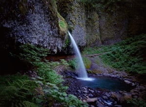
4.60.85 mi / 463 ft gainPonytail Falls is an easy 0.8 mile hike located in the gorge that begins at Horsetail Falls. After hiking up mild switchbacks, continue to your right at the first trailhead intersection. The path levels out before coming around the mountain and opening up to the waterfall. This is the easiest wa...Read more -
Cascade Locks, Oregon
Horsetail Falls Loop
4.52.56 mi / 610 ft gainStart off on this loop from Horsetail Falls Trailhead. It never hurts to start a hike with a view of Horsetail Falls. This 2.5 mile loop will start you off on Gorge trail #400 up Horsetail Falls Trail. You’ll encounter a few switchbacks before the trail flattens out and leads you into the valley ...Read more -
Cascade Locks, Oregon
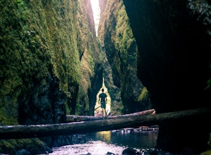
Oneonta Gorge
4.80.92 mi / 531 ft gain*Currently closed (except a small portion of the upper trail between Multnomah Spur and Trail #444 on Larch Mountain)...here This hike is very short (1 mile roundtrip) but does take some time to do. The trail leads down from the road into a stream bed. You follow the stream bed upstream through ...Read more -
Mount Hood, Oregon
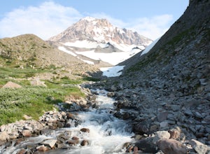
McNeil Point via Top Spur Trailhead
4.97.17 mi / 2428 ft gainThe hike to McNeil Point begins at Top Spur Trailhead, in the Mt. Hood National Wilderness. Follow signs for McNeil Point along the Pacific Crest and Timberline Trails heading north. Though there are numerous camping opportunities along the way (most of the route follows the PCT), an old stone s...Read more -
Mount Hood, Oregon
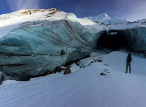
Hike to Sandy Glacier Caves
4.512.5 mi / 2800 ft gainThe hike to the caves begins at Top Spur Trailhead. The hike to McNeil Point is 5.4 miles one way, and 2200 feet of elevation gain. The trail starts in the forest, but will eventually open up to views of Mt Hood, as well as St. Helens, Adams and Rainier on a clear day.There is a shortcut up to Mc...Read more

