Ariel, Washington
Top Spots in and near Ariel
-
Camas, Washington
Kayak Lacamas Lake
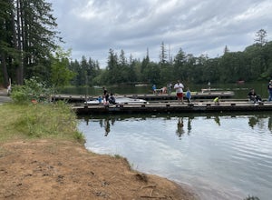
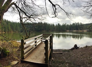
5.0Lacamas Lake is popular for all types of water activities with easy access because of it’s dock and free public parking. This area is family and dog friendly and has picnic tables for a place to sit down and have a nice lunch after swimming. Rope swings can be found along the beach if you’re the ...Read more -
Portland, Oregon
A Quick Escape to Sauvie Island
3.5During those summer days when you’re desperately seeking some sand between your toes, open space to soak up the sun, and nature to play around in…Sauvie Island is calling your name. Located just 10 miles outside of downtown Portland, Sauvie Island offers a convenient rural escape that’s just begg...Read more -
Silver Lake, Washington
Getaway to Silver Lake Resort
3.0This resort sits right on Silver Lake, which makes it easy to do multiple activities such as swimming, fishing, and boating. Whether you want to tent camp or stay in a cabin, Silver Lake Resort has you covered.Silver Lake Resort offers boat/canoe rentals or if you have your own there is also a b...Read more -
Camas, Washington
Explore Camas Pothole Falls
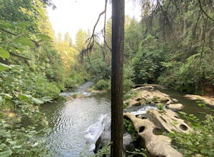
4.00.5 mi / 0 ft gainThis is on the Round Lake Loop trail and there’s a free parking area. It’s a relatively in and out hike that is family friendly but does have some downhill scrambles. Be careful when jumping as there has been fatalities in the past but as long as you’re practicing safe swimming you’ll be okay.Read more -
Camas, Washington
Run the Round Lake Loop at Lacamas Park
4.26.3 mi / 710 ft gainThis trail is a great option for people who want to escape the city, without actually leaving. Lacamas Park is located right downtown Camas, Washington and offers over six miles of dirt trails popular for cyclists, pedestrians, and runners.Park off of 3rd avenue at the Lacamas Creek Trailhead to ...Read more -
Toutle, Washington
Hike the Hummocks Trail
2.4 mi / 0 ft gainThe trail has a number of ups and downs as you pass the many ponds and ash/rock/mud hills (hummocks) on your way towards the North Fork Toutle River. There is abundant wildlife in the area including birds, beaver and elk.This is also a great place to park and extend your day of hiking on the Boun...Read more -
Cougar, Washington
Hike to Ape Canyon
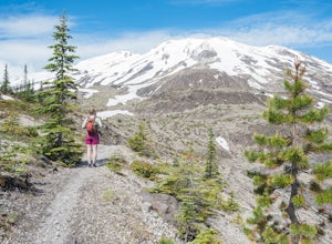
9.6 mi / 1650 ft gainNot to be confused with the ever so popular Ape Caves, the Ape Canyon is a moderately challenging hike that remains above ground, climbing a total of 1650 feet in elevation parallel to the Muddy River. Although originally designed as a hiking trail, this route has become increasingly popular wit...Read more -
Portland, Oregon
Explore Cathedral Park
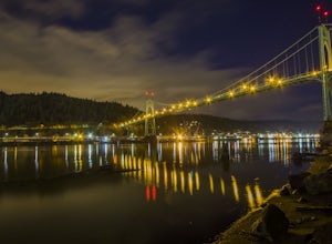
4.5Located right underneath the St Johns Bridge, Cathedral Park is hard to miss. It was given its name due to the Gothic looking arches that sit above the park.This is one of my personal favorite places to photograph especially if you enjoy photographing bridges. This park can be crowded or have eve...Read more -
Portland, Oregon
Photograph the St. John's Bridge
4.5To begin, park on North Pittsburg Ave and walk down to the river. Then, turn left and walk down the short less than a quarter mile until you see a spot where the beach is bigger than in other areas. This is an extremely good place to take photographs of the bridge, especially at night. Feel free ...Read more -
Cougar, Washington
Hike the Lava Canyon
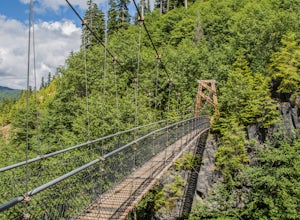
3.06.5 miStarting at the Lava Canyon Trailhead, you will walk on a paved trail down a few switchbacks until you reach the river, where you can go right or left. Either way takes you to the suspension bridge, but I recommend going right if you are following this guide. It will make more sense in a moment.A...Read more -
Toutle, Washington
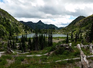
Backpack to Snow Lake by Mt. Whittier
5.016 mi / 2700 ft gainThe Coldwater Lake Recreation Area has restrooms, telephones, and a picnic area. Make sure you have already acquired your permits for camping in the Mt. Margaret back country.Follow trail #211, which runs along the entire 4.5 mile length of Coldwater Lake. It is a beautiful and fairly flat hike w...Read more -
Toutle, Washington
Mount Margaret's Ridge Camp via Coldwater Trailhead
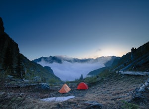
3.57.12 mi / 1634 ft gainThe hike is relatively easy. I'd say intermediate due to the incline at the beginning. Also intermediate due to it being an backpacking camp adventure. A friend of mine and I backpacked in to shoot the sunset and sunrise. We went a little early in the season so it was also to scout for future ad...Read more -
Skamania County, Washington
Fly Fish Lewis River, Cougar, WA
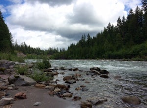
2.0An 1.5 hour drive NE from Vancouver, WA this section of the Lewis River makes for a perfect day fishing trip. Heading North on I-5 for approximately 20 miles take the Woodland / HWY 503 exit East and head towards Mt St. Helens. You'll follow the Lewis River along Hwy 503 (Lewis River Road) the ...Read more -
Toutle, Washington
Loowit Viewpoint
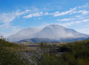
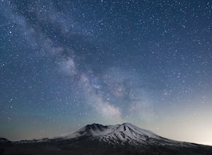
5.0From roughly May to September, both star gazers and photographers alike travel to the darkest locations in order to capture something truly magnificent- the galactic core of the milky way. The Loowit Viewpoint is unlike any around due to the perfect combination of it's remote location, higher ele...Read more -
Toutle, Washington
Hike to the Summit of Coldwater Peak
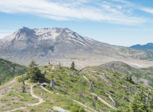
12.2 mi / 2000 ft gainWhile thousands of visitors come to witness the raw power and devastation left behind from Mount St Helens' famous 1980 eruption, few wander past the groomed paths surrounding the Johnston Ridge Observatory. It is beyond these paths where you come across the more commonly designed backcountry tra...Read more -
Toutle, Washington
Hike to Coldwater Peak via Boundary Trail
5.014.8 mi / 2700 ft gainThe Boundary trail is amazing. It's 54 miles long and runs for the most part along a ridge in Gifford Pinchot National Forest. You can climb various peaks and viewpoints right off the trail, but this trip report is for climbing Coldwater Peak and hiking up to Harry's Ridge Viewpoint on the way. H...Read more

