Ariel, Washington
Top Spots in and near Ariel
-
Portland, Oregon
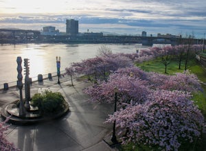
Waterfront Park
4.52.68 mi / 79 ft gainLooking for a quick run along the water in the heart of Portland? Look no further. This relatively flat 2.6 mile loop runs right along the Willamette and features great views of the city’s bridges, river, the downtown skyline, and all of the fun people enjoying this urban park. From the Salmon S...Read more -
Portland, Oregon
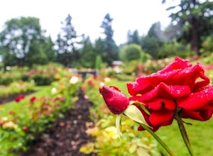
International Rose Test Garden
4.6The International Rose Garden located in Washington Park near downtown Portland is a must stop on your visit to the Rose City. The City of Roses, as Portland is known, won't let you down. Portland is host to the largest Rose Test Garden in the U.S. The 5 acre park, with over 7,000 rose bushes, an...Read more -
Portland, Oregon
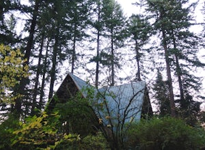
Hoyt Arboretum
1.4 mi / 148 ft gainFounded in 1928 to conserve endangered species and educate visitors, Hoyt Arboretum is a 190-acre park in the forest above Portland's NW area. It's only 15 minutes from downtown! There are 12+ miles of trails to explore, my favorite is the Redwood Trail that takes you through towering redwoods a...Read more -
Portland, Oregon
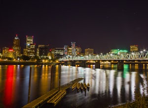
Night Photography at the OMSI Dock
4.5Starting at OMSI, walk towards the Hawthorne bridge, and away from the Tillicum bridge. After about a tenth of a mile, you will see a dock and the Hawthorne bridge. Walk down on the dock, or take pictures from above. For added adventure, walk under the Hawthorne bridge and take pictures from the ...Read more -
Portland, Oregon
Wildwood Trail in Washington Park
5.07.63 mi / 1503 ft gainTake the train to Washington Park and hike through Hoyt Arboretum. This will bypass a few miles of Wildwood Trail, but you won't miss much. In the arboretum, the trail twists and turns through the trees, will smaller trails jutting off to the sides, through other groups of trees (each trail is a...Read more -
Washougal, Washington
Cape Horn Trail
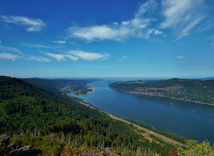
4.36.76 mi / 1795 ft gainThe Cape Horn Trail is great for those who are short on time, but still want to get outside for something close by with great views. Located just 35 min east of Portland, the Cape Horn Trail offers a few different possibilities for you to hike. The whole loop (lower section is closed from Feb 1s...Read more -
Carson, Washington
Steep Creek Falls
5.0Steep Creek Falls is located about 5 miles from the small town of Stevenson. Take Highway 14 one mile west of Stevenson to Rock Creek Drive and turn north, passing the Skamania Lodge and Resort. Turn left onto Ryan Allen Road and follow it for about a mile, then turn left onto Red Bluff Road. Fo...Read more -
Skamania County, Washington
McClellan Falls
1.00.7 mi / 200 ft gainThe trail begins at the parking for McClellan Overlook. Head out of the parking area and cross over the highway before heading onto a faint, unmarked trail. You may have to do a little routefinding, so it's best to download this map before heading out so you can make sure you stay on path. This...Read more -
Portland, Oregon
Powell Butte Nature Park Loop
6.22 mi / 1004 ft gainBefore officially becoming a nature park in 1987, Powell Butte was primarily known for being home to four 50-million gallon underground reservoirs. Today, the wide expanse of land is packed with miles of trails-- the perfect place for hikers, mountain bikers, and even horseback riders to get thei...Read more -
Corbett, Oregon
Climb Rooster Rock
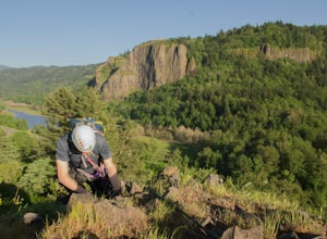
5.0Head to Rooster Rock State Park off exit 25 on I-84 E in the Columbia River Gorge. Park at the west end of the park.There are multiple paths at the west end of the park heading south to I-84. If you go too far west, you will hit water. Pick one of these paths which lead to the edge of the freeway...Read more -
Corbett, Oregon
Night Sky Shooting at Vista House
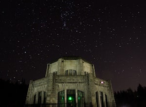
3.0The Vista House located in the Columbia River Gorge offers those looking to photograph the night sky without traveling long distance from Portland the opportunity to do so. Vista House is just far enough away from Portland's light pollution to allow you to capture enough stars on a clear night.T...Read more -
Bridal Veil, Oregon
Angel's Rest
4.34.45 mi / 1568 ft gainThe Columbia River Gorge is absolutely full of incredible hikes - that said, this is one of the best and requires less time and energy than some of the others. Starting at a paved parking lot right off the Historic Columbia River Gorge Highway (note: it's a very popular trail so arrive early or ...Read more -
Bridal Veil, Oregon
Devil's Rest-Wahkeena Falls Loop
4.09.82 mi / 2779 ft gainThis loop takes advantage of the western Columbia River Gorge's vast network of trails - hidden behind the roadside waterfalls - to allow you to visit several popular attractions without fighting traffic along the historic highway. All told, the loop hits 3 named waterfalls (Coopey Falls, Fairy F...Read more -
Corbett, Oregon
Latourell Falls Loop
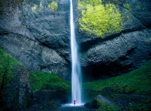
4.72.02 mi / 820 ft gainLatourell Falls is a beautiful and unique waterfall in the Columbia River Gorge in Oregon. This amazing waterfall is just a few hundred yards from the road and parking lot. Once you park, there is a viewpoint for the falls that is straight ahead. The view from there isn't that great compared to ...Read more -
Skamania County, Washington
Hike to Norway Pass
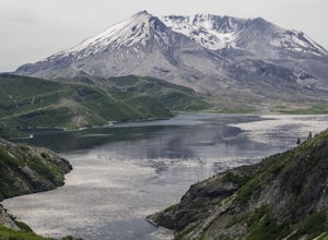
4.4 mi / 860 ft gainJust 96 miles south of Seattle, and 50 miles northeast of Portland, Mt. St. Helens and its wild, rugged beauty awaits you.Starting at the Norway Pass Trailhead parking lot, walk a dusty and sometimes ashy trail through recovering forest, low brush, wildflowers and blown down, sun bleached logs. T...Read more -
Corbett, Oregon
Bridal Veil Falls
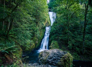
4.10.54 mi / 144 ft gainThe trailhead for this short hike is right off of the Columbia River Highway just west of Multnomah Falls. You can't miss the parking lot for it; there is a sign for Bridal Veil and the parking lot is visible from the road. The hike is only 0.6 miles and has hardly any elevation gain (70 feet). ...Read more

