Pearisburg, Virginia
Top Spots in and near Pearisburg
-
Blacksburg, Virginia
Hike the Coal Mining Heritage Park and Loop Trail
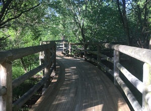
5.01 miThis is a part of the Huckleberry Trail (which is paved), but off of it is the dirt hiking/walking trail loop. It is a really fun area to explore, and the parts that are on the Huckleberry have plaques with historical information on it which is all very interesting. It also has a beautiful wooden...Read more -
Dublin, Virginia
Camp at Claytor Lake State Park
4.0Claytor Lake is a very well maintained state park in Dublin, VA. There are four campgrounds available. Campgrounds A, B and C are mostly for tent camping with no electric or water hookups, while campground D accommodates RV units with water and electric hookups.Claytor Lake is idea for families l...Read more -
Princeton, West Virginia
White Oak Falls via Brush Creek Falls Trail
3.69 mi / 574 ft gainThis is a wonderfully easy hike to White Oak Falls. After visiting Bush Creek Falls, keep walking down the trail. You'll enter the Bush Creek Nature Preserve area. If you visit after heavy rains, please note that your feet will get wet. There are numerous cascades that come down and cross over t...Read more -
Princeton, West Virginia
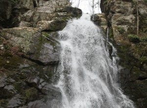
Brush Creek Falls
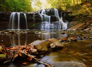
4.50.5 mi / 75 ft gainBrush Creek Falls is a beautiful 25' waterfall that spans across Brush Creek. It is accessed via a short 0.5 mile hike with minimal elevation gain. From the parking area on Brush Creek Falls Road, take the trail to the right of the picnic shelter. This easy and relatively-flat trail through rhod...Read more -
Waiteville, West Virginia
Hanging Rock Raptor Observatory
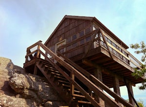
4.81.93 mi / 381 ft gainLocated on Limestone Hill Road north of Waiteville, WV at about 3800 feet above sea level is an old Fire watch tower. The tower, built in 1956 was abandoned in 1972. In 1983 the US Forest Department acquired this area as part of the Jefferson National Forest. Since then the Tower has become know...Read more -
Draper, Virginia
Bike the New River Trail
5.057 miThere are several locations to begin your trek on the New River Trail, but our favorite is the Draper Valley area. The pin on the map will take you right to the parking lot. There is a $5 state park fee and a self-pay envelope station. From here we head south, and after about a mile you catch you...Read more -
Camp Creek, West Virginia
Photograph Mash Fork and Campbell Falls in Camp Creek SP
5.0Right off interstate I-77, Camp Creek State Park has two waterfalls that you can easily access: Mash Fork Falls and Campbell Falls. These falls can both have very low flows in late summer, so try to plan your visit for times of higher flows (early spring or after a rain). Mash Fork Falls is in th...Read more -
Shawsville, Virginia
Hike to Stiles Falls
4.83 mi / 500 ft gainPark at the Alta Mons camp parking lot, and start walking the gravel road. There will be signs throughout the trail that lead to the waterfall. Continue down the trail for 1.5 miles. Look out for the white trail markers that indicate the Stiles Falls trail. After 1.5 miles, you will reach the wat...Read more -
Shady Spring, West Virginia
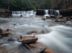
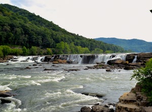
Sandstone Falls
5.00.52 mi / 46 ft gainStarting at the trailhead, follow signs for the falls. After a short walk, hikers will reach the walkway bridge where they can snap a couple shots of the minor Sandstone Falls to the right. Many hikers stop here, thinking these falls are the final destination. Do not make this mistake—the best is...Read more -
Catawba, Virginia
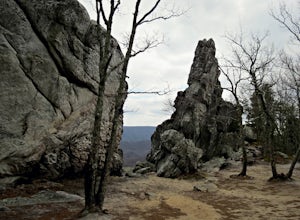
Dragon's Tooth Trail
4.94.44 mi / 1394 ft gainFrom I-81: Exit 140 and take Highway 311 north for 11 miles towards New Castle. Dragon’s Tooth parking lot is on the left, just past Catawba Grocery. LAT 37.3787 LONG -80.1563 Ready to tackle the Dragon? This 4.6 mile, out and back, trail provides one with a true hiking experience. The hike wil...Read more -
Catawba, Virginia
Virginia Triple Crown
5.029.24 mi / 5531 ft gainThe Virginia Triple Crown is a combination of three of the most spectacular and popular hikes in the region. It combines the Dragon’s Tooth, McAfee’s Knob, and Tinker Cliffs hikes into one long multi-day hike along the Appalachian Trail. It makes for an excellent 2 day backpacking trip, with many...Read more -
Wytheville, Virginia
Hike the High Rock Trail
3.02.7 mi / 636 ft gainThe hike to High Rocks begins at a gravel parking lot up a long winding road, seems like forever but really is only mile or two past the quarry when your turn onto the road. The out-and-back hike begins by passing through the two large boulders near the back of the parking lot. The trail leads d...Read more -
Salem, Virginia
McAfee Knob
4.77.79 mi / 1296 ft gainIntro McAfee Knob is one of the most photographed and picturesque locations along the Appalachian Trail. Once you reach McAfee Knob, you'll have almost 270 degree views of the the Roanoke Valley to the East, Catawba Valley and North Mountain to the West, and Tinker Cliffs to the North. Due to t...Read more -
Beaver, West Virginia
Grandview Overlook in the New River Gorge
5.0From the main parking lot at Grandview's visitor center, follow the well marked paved trail about 0.1 miles to the Main Overlook. There is a large platform for viewing the New River here. A wide angle lens is best to photograph this large bend in the river. There is another overlook in the park...Read more -
Salem, Virginia
Mountain Bike at Carvins Cove
5.030 mi / 750 ft gainCarvins Cove draws attention from all over the mountain biking community, and has so much to offer both the beginner and expert alike. The best place to access the trails is from the Bennet Springs parking lot on Carvins Cove Road...the pin on the map will take you right there. There is a $2 dail...Read more -
Willis, Virginia
Hike Buffalo Mountain
4.72 mi / 700 ft gainCOVID-19 CLOSURE: Due to Covid-19, this trail will be closed effective April 10, 2020 at 8 PM until June 24, 2020. A short 1.0 mile hike to the summit with 700’ elevation gain, the trail switchbacks steeply up to the exposed rocky summit. To the north you can see Sharp Top and Flat Top at the Pe...Read more

