Marshall, Virginia
Looking for the best photography in Marshall? We've got you covered with the top trails, trips, hiking, backpacking, camping and more around Marshall. The detailed guides, photos, and reviews are all submitted by the Outbound community.
Top Photography Spots in and near Marshall
-
Delaplane, Virginia
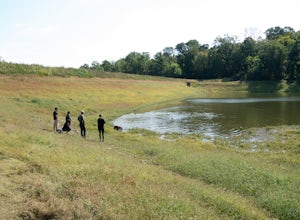
Relax at Lake Thompson
Lake Thompson is a great spot for fishing, walking, or just exploring the area with your dog. I've never had a problem with parking, but you're unlikely to find yourself alone at the lake on a nice weekend day. Its a 10-acre lake, however, so you shouldn't have a problem carving out a little bit...Read more -
Marshall, Virginia
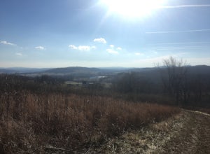
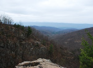
Hike to the Piedmont Overlook
5.00.61 mi / 400 ft gainIn just a .61 mile trail, Piedmont Overlook has so much to offer in terms of views and although it is fairly steep, anyone can do it! After arriving at Sky Meadows State Park start heading up to the white park office building, this is where the trail begins. To get to the trail head follow Bosto...Read more -
Front Royal, Virginia
Snowshoe the AT in G.R. Thompson
3 miThe G.R. Thompson is a piece of public land in Linden, VA, thats primarily used by hunters. The Appalachian Trail runs right through this section and visiting during a fresh snowfall can make for a great adventure. Only 60 minutes drive from greater Washington DC area, this is an easy adventure! ...Read more -
Aldie, Virginia
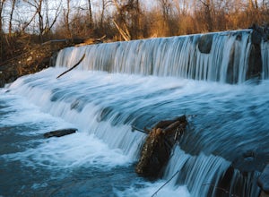
Relax at Aldie Park
Small park with nice walking trails, picnic tables, and a waterfall that cascades down from a dam. Its a wonderful place to take the family or just go for a breath of fresh air. Its also right near the downtown area of Aldie, which has a bakery, juice/smoothie shop, and other great shops to stop ...Read more -
Bluemont, Virginia
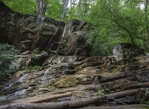
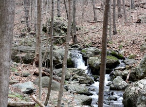
Hike to Hollow Brook Falls
4.32 mi / 300 ft gainThis hike will start on the Appalachian Trail and will take you to a beautiful set of falls. When you arrive at the location you will see numerous spots along the side of the road to park. You'll need to look for the white blaze for the Appalachian Trail (it will head up from the parking area). ...Read more -
South River, Virginia
Hike to Compton Peak
5.0This unique hike on the Appalachian Trail in Shenandoah National Park is 2.4 miles round trip with an 835' elevation gain, and leads you to two viewpoints as well as a cool rock outcrop.Access this hike from the Compton Gap parking area (elevation 2,145') on the Skyline Drive at Mile 10.4. Cross ...Read more -
Bluemont, Virginia
Hike to Bears Den Overlook
4.41.31 mi / 164 ft gainBears Den is a collection of rocks and boulders that overlooks the Shenandoah Valley in northern Virginia, just off the Appalachian Trail. You have two options to access this overlook: park at the bottom of the mountain and hike up to the overlook via the trail, or drive to the top and access the...Read more -
Bluemont, Virginia
Hike to Raven Rock
4.35 mi / 1000 ft gainStarting at a small parking lot right off of Route 7 (wuick right onto Pine Grove Road) this hike takes you North on the Appalachian Trail in a very hilly/rocky part of the trail. Expect to gain and lose 300 feet+ multiple times! It's about 2.5 miles each way so budget at least a few hours to go ...Read more -
Manassas, Virginia
Hike and Explore Bull Run Battlefield
4.31.2 miLocated about 40 minutes from D.C. just off I-66 in Manassas, VA. Henry Hill is the starting point and headquarters that can lead you to multiple trails ranging from 1-5 miles depending on the route you choose here. Ample parking at HQ as well as clean restrooms. Tours are available here. Rolling...Read more -
Front Royal, Virginia
Explore Skyline Drive In Winter
4.5Skyline Drive is a winding highway that cuts straight through Shenandoah National Park. Being that we are in the south, you will find that the road is closed for the majority of the winter, and usually at the very mention of snow. The first few years of living here it was incredibly frustrating...Read more -
Cool Spring Path South Parking, Virginia
Hike Cool Spring Path
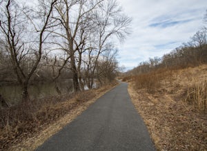
4.02 mi / 70 ft gainThe Cool Spring Path South is an old golf course that has been and still is in the process of being returned to its natural state by Shenandoah University. The paved paths from the golf course make this an easy hike for anyone. For those who may be in a wheelchair, this loop should be fully acces...Read more -
Front Royal, Virginia
Explore Skyline Caverns
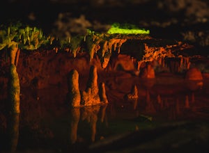
Skyline Caverns is located right off Stonewall Jackson Highway with plenty of parking. The cave tour is about 60 minutes with little walking and minimal elevation gain. If you time it right you and your friends can get the whole tour to yourselves. The backstory the tour guide gives you, is inte...Read more -
Appalachian Trail, Virginia
Hike North Mount Marshall in Shenandoah NP
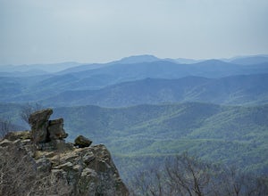
1 mi / 350 ft gainPark at the Mount Marshall parking area at ~MP 15.6 on the Skyline Drive. From the back of the parking lot, take the white-blazed Appalachian Trail north for a short 0.4 miles to a large rock outcrop with views south. After finished exploring this outcrop, continue on the AT for another 0.1 mil...Read more -
Bentonville, Virginia
Photograph Range View Overlook
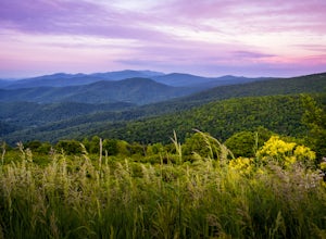
5.0Range View Overlook in Shenandoah National Park is an amazing spot to watch the sunrise and sunset where the Blue Ridge Mountains meet the rolling hills. Range View Overlook has views of Jenkins Mountain to the south, Pignet Mountain and Mary’s Rock to the southwest, and Hogback Mountain to the w...Read more -
Washington, Virginia
Hike Little Devil Stairs
4.75.5 mi / 1480 ft gainThis hike starts with an immediate stream crossing -- how wet your feet get depends on the water level but bring an extra pair of socks! The first mile consists of a typical Shenandoah hike -- uphill on a dirt path and along a stream. But soon you reach the base of Little Devil Stairs. This po...Read more -
Rileyville, Virginia
Hike to Overall Run Falls
5.06.1 mi / 1700 ft gainStart at the Hogback parking lot at MP 21.1 on the Skyline Drive. Take the Appalachian Trail south for 0.8 miles, and turn right onto the Tuscarora-Overall Run Trail. After 0.5 miles you will come to another intersection-keep right to stay on the Tuscarora-Overall Run Trail. A final intersection...Read more

