Marshall, Virginia
Looking for the best hiking in Marshall? We've got you covered with the top trails, trips, hiking, backpacking, camping and more around Marshall. The detailed guides, photos, and reviews are all submitted by the Outbound community.
Top Hiking Spots in and near Marshall
-
Derwood, Maryland
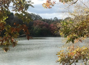
Hike, Bike, or Run the Lakeside Trail and Muncaster Mill Trail
4.53.41 mi / 196 ft gainPark at the Meadowside Nature Center to Access the trailhead. This is a 3.4 mile loop with opportunities for birding and observing wildlife. Dogs are welcome on leash.Read more -
Wardensville, West Virginia
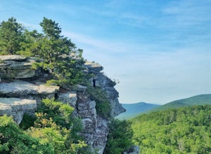
Hike Big Schloss
5.04.2 mi / 1000 ft gainBig Schloss (the German word for “palace”) is a popular hike in the George Washington National Forest. The trailhead is conveniently located at the Wolf Gap Campground. To begin, follow the path behind the restrooms at the parking lot. Cross the paved road where you will find a trail map with ...Read more -
Wardensville, West Virginia
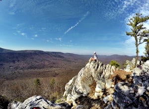
Tibbet Knob via Wolf Gap
5.03.17 mi / 702 ft gainPark for free at Wolf Gap Campground and cross the road where you will pass some picnic tables and campsites. Follow the signs to the yellow-blazed Tibbet Knob trail. In half a mile, there is a little path to a summit on your left where you can catch a glimpse of Mill Mountain and Big Schloss. ...Read more -
Wardensville, West Virginia
Camp at Wolf Gap
5.0Wolf Gap is a FREE year round campground located just outside of Woodstock, VA. It is a great base camp for several scenic hikes like the Tibbet Knob trail (trailhead is just across the road) and the popular Big Schloss trail (trailhead begins at campsite number 9) -- super convenient if you hav...Read more -
Wardensville, West Virginia
Big Schloss via Wolf Gap Trail
5.04.27 mi / 997 ft gainBig Schloss via Wolf Gap Trail is an out-and-back trail that takes you by a river located near Lost City, West Virginia.Read more -
Orkney Springs, Virginia
Hike Laurel Run
6.6 mi / 2100 ft gainThere are two parking spots for this trail. Park at the lower lot if the gate is closed, if the gate is open, continue up the road for another mile until you reach another closed gate. Park here. If the gate is closed you will need to hike a mile up the road to get to the trail head.From the seco...Read more -
Myersville, Maryland
Hike to Annapolis Rock and Black Rock Cliff
4.48 mi / 840 ft gainHike along the Appalachian Trail as it passes through South Mountain State Park, taking you to a number of very scenic lookout spots.From the parking area, take the connector trail a short distance until you see blue blazes on the left – these will lead you to the Appalachian Trail (white blazes)...Read more -
Stanardsville, Virginia
Hike South River Falls
4.54.4 miThe trail head for the South River Falls Trail is located at mile marker 63 off of Skyline Drive via the South River Picnic Area. Loop around the picnic area until you reach the Eastern corner where you will find a sign and a map marking the beginning of the 4.2-mile trail. Over the first mile...Read more -
Washington, District of Columbia
Visit Kenilworth Aquatic Gardens
4.51.5 miThe Kenilworth Aquatic Gardens are a unique spot in Washington, D.C. The grounds are full of ponds, boardwalks, and a trail that connects you to the Anacostia River Trail. The main draw of this park are the ponds full of lotus flowers. During the summer months, they grow tall with colors ranging ...Read more

