Leesburg, Virginia
Top Spots in and near Leesburg
-
Sharpsburg, Maryland
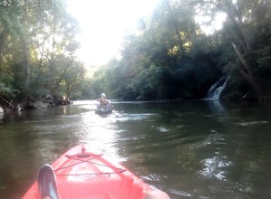
Antietam National Battlefield Trail
3 mi / 358 ft gainAntietam National Battlefield Trail is a loop trail that takes you by a river located near Sharpsburg, Maryland.Read more -
Boyce, Virginia
Trail Run the AT in the G.R. Thompson
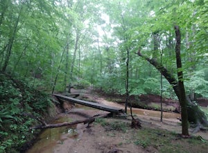
7 mi / 900 ft gainTake Fire Trail Road and start your run at the parking area (labeled in the map). The trail puts you directly onto the AT, where you will turn right (southbound) to start the run (or hike). You'll stay on the AT for roughly 3.5 miles down to the Trillium Trail Parking area. At that point, turn ar...Read more -
Delaplane, Virginia
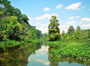
Relax at Lake Thompson
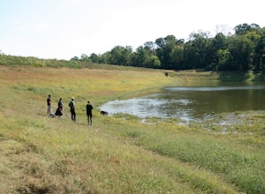
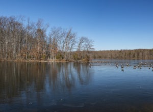
Lake Thompson is a great spot for fishing, walking, or just exploring the area with your dog. I've never had a problem with parking, but you're unlikely to find yourself alone at the lake on a nice weekend day. Its a 10-acre lake, however, so you shouldn't have a problem carving out a little bit...Read more -
Falls Church, Virginia
Bike the W&OD Trail
45 miThe Washington and Old Dominion (W&OD) trail stretches through northern Virginia and is a great spot for bike riding, running, or walking. The trail is paved, well maintained, and wide enough for traffic in both directions. There are also a couple breweries along the way that you can make a f...Read more -
Front Royal, Virginia
Snowshoe the AT in G.R. Thompson
3 miThe G.R. Thompson is a piece of public land in Linden, VA, thats primarily used by hunters. The Appalachian Trail runs right through this section and visiting during a fresh snowfall can make for a great adventure. Only 60 minutes drive from greater Washington DC area, this is an easy adventure! ...Read more -
Clifton, Virginia
Hike the Bull Run Occoquan Trail
13 miThe Bull Run Occoquan Trail is located in Fairfax County, Virginia and is 50 miles outside Washington, DC and runs along the Bull Run waterway for 6.5 miles from Bull Run Marina to Fountainhead Regional Park. The blue blazed trail undulates for a total ascent of 1,510 ft and descent of 1,526 ft, ...Read more -
Arlington, Virginia
Fish the Potomac River in Arlington
Parking along 36th Road in Arlington, VA, head down the path on the Gulf Branch Trail. Walk northeast for roughly a quarter mile, where you will intersect with the Potomac River. Find a spot along the sand, cast out, and watch the catfish bite! Chicken liver seems to work well. Don't forget to h...Read more -
Fairfax Station, Virginia
Explore Burke Lake in Fairfax
4.54.7 mi / 0 ft gainBurke Lake Park has something for everyone. Whether you enjoy trail running, hiking, fishing, canoeing, Frisbee golf, or just having a picnic with your family, you can do it all at Burke Lake. Those who want to be active or exercise can run, hike or biket the 4.7 mile trail that circles the entir...Read more -
Myersville, Maryland
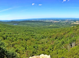
Hike to Annapolis Rock and Black Rock Cliff
4.48 mi / 840 ft gainHike along the Appalachian Trail as it passes through South Mountain State Park, taking you to a number of very scenic lookout spots.From the parking area, take the connector trail a short distance until you see blue blazes on the left – these will lead you to the Appalachian Trail (white blazes)...Read more -
Washington, District of Columbia
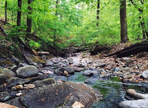
Hike the Soapstone Valley Trail
4.02 miThis is an out-and-back trail that starts and ends on different roads, but you will have better luck parking on Albemarle Street NW (where I have indicated the trailhead is on the map). This is a long street with plenty of street parking, just pay attention to the signs to see how long you can le...Read more -
Arlington, Virginia
Bike the Mt. Vernon Trail
5.014 miStart your ride at the Teddy Roosevelt Island parking area and head southbound towards Mt. Vernon. You'll be riding next to the Potomac the entire time, with great views of the National Monument, Lincoln Memorial, Jefferson Memorial, and the Memorial Bridge. The ride is as long as you want to mak...Read more -
Arlington, Virginia
Hike Theodore Roosevelt Island
4.32 miIt seems only fitting that the president who gave us our national parks would have one all to his own. Located on the edge of Washington D.C., Theodore Roosevelt Island offers a glimpse of what the city may have looked like before the politicians, before the marble buildings, before the traffic-...Read more -
Washington, District of Columbia
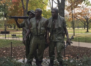
Visit the National Mall in Washington D.C.
4.67 miEveryone has so many things on their plates these days that take all their time up. It is hard to get away for adventures or to experience new things. The National Mall in Washington D.C. is within an hour from millions of people on the East Coast. This centralized location makes the National Mal...Read more -
Washington, District of Columbia
Photograph Sunrise at the Lincoln Memorial
4.8Located on the far-west portion of the National Mall in Washington, D.C. stands the Lincoln Memorial. At almost 100 feet tall, this majestic structure overlooks the reflecting pool and offers an iconic view of the Washington Monument. Parking is almost always an issue near the Lincoln Memorial, ...Read more -
Smithsburg, Maryland
Hike to Cunningham Falls
4.22.8 miThis 78-foot waterfall, among the largest in the state, is easily accessible by two short trails. Lower Trail (0.5 miles) leads directly to the falls, whereas Cliff Trail (0.75 miles) has slightly more difficult terrain and takes you to a viewing platform. To lengthen the adventure, Hunting Creek...Read more -
Thurmont, Maryland
Cat Rock via Old Misery Trail
3.02.89 mi / 797 ft gainThe best place to park is on Catoctin Hollow Road in the parking lot that's on the same side of the road as the lake. It's not a huge lot but we were here mid-summer around 10 am and found a spot easily. The trailhead is on the other side of the street from this parking lot; there is a sign letti...Read more

