Hot Springs, Virginia
Looking for the best photography in Hot Springs? We've got you covered with the top trails, trips, hiking, backpacking, camping and more around Hot Springs. The detailed guides, photos, and reviews are all submitted by the Outbound community.
Top Photography Spots in and near Hot Springs
-
Millboro, Virginia
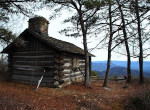
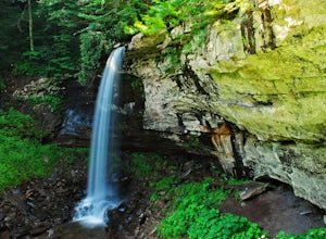
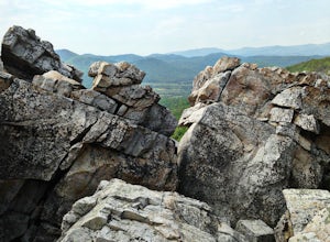
Hike Blue Suck Falls and the Tuscarora Overlook
3.47.2 mi / 2200 ft gainIn Douthat State Park, park at the Discovery Center/Amphitheater parking lot near the children's fishing area. The Blue Suck Falls trail head will be towards the dam on the left side and is well-marked.Note: A trail map is highly recommended for this trail! It is fairly well-marked with blue blaz...Read more -
Hot Springs, Virginia
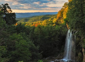
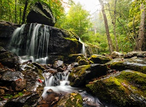
Explore Falling Spring Falls in the Alleghany Highlands
4.2Just nine miles north of I-64, this viewpoint is not one to be missed if you’re in the area. According to the information post at the overlook, “The site was once visited by [Thomas] Jefferson to survey the falls and he mentions it in his manuscripts ‘Notes on the State of Virginia’ written in 1...Read more -
Eagle Rock, Virginia
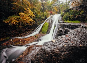
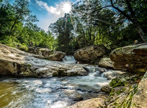
Hike Roaring Run Falls
4.72.4 miFrom 615 (Craig Creek rd) you turn on to 621 (Roaring Run rd) and about mile down is a little gravel road on the left that you turn down. Go down this gravel road a little ways to reach the parking area, you'll know you're there when you see a big gate held up by two stone pillars. Once you are r...Read more -
Rockbridge Baths, Virginia
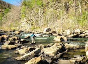
Fly Fish Goshen Pass
5.0The fly fishing on the Maury River is one of a kind through the Goshen Pass. The Pass is littered with huge boulders, which actually makes it possible to fish without waders, although it's much easier and more enjoyable with waders.From Lexington, VA, take Route 39 towards Goshen for approximatel...Read more -
Rockbridge Baths, Virginia
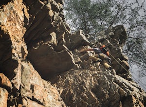
Rock Climb at Goshen Pass
5.0Goshen Pass is a beautiful area for kayaking and fishing in Bath County, Virginia near Lexington. But not as well known is the fact that there are a few places that are great for rock climbing. You'll want to park at the swinging bridge which is two miles past the picnic area on route 39 once you...Read more -
Renick, West Virginia
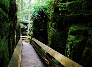
Explore Beartown State Park
4.30.6 mi / 50 ft gainFrom Rt. 219 about 7 miles south of Hillsboro, West Virginia, there are well-marked signs for Beartown State Park. This narrow road winds about a mile until the small parking area for the state park. The boardwalk trail starts to the left of the bathrooms, and it is encouraged to walk the trail...Read more -
Hillsboro, West Virginia
Hike High Rocks
5.03.1 mi / 376 ft gainTo reach High Rocks trailhead, drive about 3.3 miles along West Virginia’s Highland Scenic Highway (HW150) from Cranberry Mountain Nature Center. The parking lot and trailhead will be on the right side of the road. The High Rocks trail is 3.1 miles out and back and is fairly flat as it follows a ...Read more -
Hillsboro, West Virginia
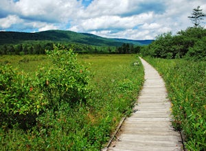
Walk Around the Cranberry Glades, Monongahela NF
4.80.6 mi / 0 ft gainFrom the parking lot, the boardwalk trail breaks off of the right side of the lot. The boardwalk loop should be done in a clockwise direction and there are signs to direct you. The 1/2 mile boardwalk offers great views of the surrounding bog and mountains. The boardwalk itself is skirted by fe...Read more -
Hillsboro, West Virginia
Williams River Overlook
This scenic overlook is along the Highland Scenic Highway. The highway runs through the Monongahela National Forest. The overlook has an amazing view and is a great area to explore. There are two trails that lead off from the overlook and they have a gorgeous spruce forests.Read more -
Marlinton, West Virginia
Camp at Day Run Campground
5.0Located in West Virginia’s Monongahela National Forest about half way between Snowshoe and the Cranberry Glades makes this campground an ideal place to set up a base camp while you explore the surrounding area. It is located about five miles from Highland Scenic Highway (HW150), which makes it ju...Read more -
Eagle Rock, Virginia
Canoe or Kayak the Upper James River
4.3Put in at the Horseshoe Bend Boat Ramp near Buchanan, VA. The pin on the map will take you right there. Takeout will be at the boat ramp in downtown Buchanan, approximately 9 miles down river. This ramp is located just above the Rt. 11 bridge.Twin River Outfitters uses this ramp also, so there's ...Read more -
Marlinton, West Virginia
Cranberry Wilderness North South Loop Trail
17.1 mi / 1617 ft gainThe Cranberry Wilderness is lesser known, but if you're looking for a rugged escape, this is it. Be mindful of your water intake, as there are a few stretches upwards of 6-8 miles where there is no access to fresh water. Those areas are well-known in most of the hiking blogs/guides (I'd recommend...Read more -
Hillsboro, West Virginia
Hike the Falls of Hills Creek, Monongahela NF
5.01.8 mi / 300 ft gainFrom the parking lot, the paved handicap-accessible trail switchbacks to a view of the upper falls (20'). The falls are a bit hard to see from the viewpoint, so it's best to continue down the trail. At the upper falls the trail changes to wooden stairs that descend gradually down. You will cross...Read more -
Natural Bridge Station, Virginia
Hike Devil's Marbleyard
5.03.24 mi / 1421 ft gainWant to scale the side of a rock face? If you do, I highly suggest adding this adventure to your list. Hiking to the marbleyard and back to the parking lot will have you at a 3 mile journey. How many hours will it take to hike the trail and tackle Antietam Quartzite boulders larger than cars you ...Read more -
Amherst, Virginia
Swim at Panther Falls
5.00.7 mi / -100 ft gainFrom Lexington or Buena Vista, Virginia, take Rt. 60 east for several miles. As soon as you pass under the Blue Ridge Parkway, look for a gravel road on your right marked Panther Falls Road. This is a fairly bumpy gravel road, so take it easy. Follow Panther Falls Road down the mountain for just ...Read more -
Buchanan, Virginia
Hike to Apple Orchard Falls
4.05.6 mi / 1000 ft gainThere are a few different ways that you can do this hike. One way is to start at the North Creek campground (37.54244, -79.58531) and do a loop hike that's about 6 miles, which will take you to the falls up along a stream with some swimming holes and nice campsites. I did it the other way, which ...Read more

