Great Falls, Virginia
Top Spots in and near Great Falls
-
Sabillasville, Maryland
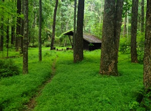
Camp at the Adirondack Shelters in Catoctin Mountain Park
5.04 mi / 1200 ft gainFor outdoor enthusiasts, Maryland is an ideal place to live. Between the mountains and the Bay--and the rivers, bike paths, and trails along the way--we couldn't ask for much more. But if we were feeling greedy, we would probably ask for additional backpacking options, right? Of course, there are...Read more -
Cockeysville, Maryland
Hike the Oregon Ridge Park Trail
4.04.02 mi / 475 ft gainPark in the lot as indicated on the map (see below). This trail is accessible year round, dog-friendly, and is great for families.Read more -
Annapolis, Maryland
Photograph the Frozen Bay at Sandy Point
The winter is the perfect time to explore this park as it does not draw in many visitors like it does in the summer months. You can walk along the sandy shores to photograph both the Chesapeake Bay Bridge as well as the bay itself. This is a very easy walk and could take you under 10 minutes and ...Read more -
7, Smithsburg, Maryland
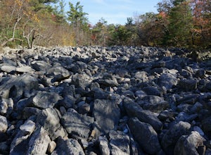
Hike to Devil's Racecourse on the Appalachian Trail
4.53 mi / 1500 ft gainStart your hike where the AT crosses Raven Rock Road (Maryland Route 491). This crossing is well-marked from both sides by large, yellow signs and blazed stakes. You will need to park on the side of the road, but the shoulder is wide and can accommodate a crowd. The first half mile or so of this...Read more -
Edgemere, Maryland
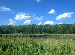
Hike the Black Marsh Trail at North Point State Park
2.5 miFirst, a few disclaimers: The parking lot may be "at capacity" if you choose to visit the park in the summer. Do not despair; there is an auxiliary lot of sorts just near the gate.The park may be "full" but chances are you'll have the trails to yourself. Most people are here to hang in the design...Read more -
South River, Virginia
Hike to Compton Peak
5.0This unique hike on the Appalachian Trail in Shenandoah National Park is 2.4 miles round trip with an 835' elevation gain, and leads you to two viewpoints as well as a cool rock outcrop.Access this hike from the Compton Gap parking area (elevation 2,145') on the Skyline Drive at Mile 10.4. Cross ...Read more -
Sabillasville, Maryland
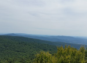
Hike to High Rock on the Appalachian Trail
4.06 mi / 2000 ft gainStart your hike where the AT crosses Raven Rock Road (Maryland Route 491). This crossing is well-marked from both sides by large, yellow signs and blazed stakes. You will need to park on the side of the road, but the shoulder is wide and can accommodate a crowd. The first half mile or so of this...Read more -
Front Royal, Virginia
Explore Skyline Drive In Winter
4.5Skyline Drive is a winding highway that cuts straight through Shenandoah National Park. Being that we are in the south, you will find that the road is closed for the majority of the winter, and usually at the very mention of snow. The first few years of living here it was incredibly frustrating...Read more


