Great Falls, Virginia
Looking for the best photography in Great Falls? We've got you covered with the top trails, trips, hiking, backpacking, camping and more around Great Falls. The detailed guides, photos, and reviews are all submitted by the Outbound community.
Top Photography Spots in and near Great Falls
-
Delaplane, Virginia
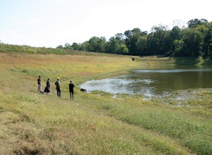
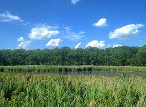
Relax at Lake Thompson
Lake Thompson is a great spot for fishing, walking, or just exploring the area with your dog. I've never had a problem with parking, but you're unlikely to find yourself alone at the lake on a nice weekend day. Its a 10-acre lake, however, so you shouldn't have a problem carving out a little bit...Read more -
Front Royal, Virginia
Snowshoe the AT in G.R. Thompson
3 miThe G.R. Thompson is a piece of public land in Linden, VA, thats primarily used by hunters. The Appalachian Trail runs right through this section and visiting during a fresh snowfall can make for a great adventure. Only 60 minutes drive from greater Washington DC area, this is an easy adventure! ...Read more -
Myersville, Maryland
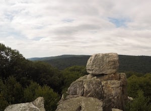
Hike to Annapolis Rock and Black Rock Cliff
4.48 mi / 840 ft gainHike along the Appalachian Trail as it passes through South Mountain State Park, taking you to a number of very scenic lookout spots.From the parking area, take the connector trail a short distance until you see blue blazes on the left – these will lead you to the Appalachian Trail (white blazes)...Read more -
Annapolis, Maryland
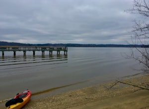
Kayak into downtown Annapolis via Spa Creek
There is no better way to travel into Annapolis then by under your own power on water. Put in your kayak, canoe, or stand up paddle board at the Truxton Park Boat Launch (run by the City Parks Department) and paddle into downtown Annapolis on Spa Creek. Pass other boaters, beautiful waterfront ...Read more -
Huntingtown, Maryland
Paddle the Patuxent River through Maryland
While there are many parks along its length, one of the best places to explore along the 115 mile long Patuxent River is by putting in at Kings Landing Park. There is ample parking near the launch, and while vehicles are not allowed to park near the water, vehicles are encouraged to open the gat...Read more -
Smithsburg, Maryland
Hike to Cunningham Falls
4.22.8 miThis 78-foot waterfall, among the largest in the state, is easily accessible by two short trails. Lower Trail (0.5 miles) leads directly to the falls, whereas Cliff Trail (0.75 miles) has slightly more difficult terrain and takes you to a viewing platform. To lengthen the adventure, Hunting Creek...Read more -
Thurmont, Maryland
Hike Catoctin Mountain
4.58.4 mi / 1370 ft gainPark at Catoctin Mountain Visitor Center. The hike starts at the end of the gravel parking lot across from the visitor center. This is definitely a popular hiking location, so come early on the weekends to guarantee a parking spot and to avoid the crowds. To start, take the right trail towards th...Read more -
Thurmont, Maryland
Hike Chimney Rock at Catoctin Mountain Park
4.25 mi / 600 ft gainChimney Rock is the quintessential breathtaking view that makes a hike worthwhile. By parking at the most northeast parking lot on the trail map you are able to include the sweeping views of Thurmont Vista, and Wolf Rock on your way to Chimney Rock. Highly recommend visiting in the fall, and on w...Read more -
Annapolis, Maryland
Photograph the Frozen Bay at Sandy Point
The winter is the perfect time to explore this park as it does not draw in many visitors like it does in the summer months. You can walk along the sandy shores to photograph both the Chesapeake Bay Bridge as well as the bay itself. This is a very easy walk and could take you under 10 minutes and ...Read more -
Edgemere, Maryland
Hike the Black Marsh Trail at North Point State Park
2.5 miFirst, a few disclaimers: The parking lot may be "at capacity" if you choose to visit the park in the summer. Do not despair; there is an auxiliary lot of sorts just near the gate.The park may be "full" but chances are you'll have the trails to yourself. Most people are here to hang in the design...Read more -
South River, Virginia
Hike to Compton Peak
5.0This unique hike on the Appalachian Trail in Shenandoah National Park is 2.4 miles round trip with an 835' elevation gain, and leads you to two viewpoints as well as a cool rock outcrop.Access this hike from the Compton Gap parking area (elevation 2,145') on the Skyline Drive at Mile 10.4. Cross ...Read more -
Front Royal, Virginia
Explore Skyline Drive In Winter
4.5Skyline Drive is a winding highway that cuts straight through Shenandoah National Park. Being that we are in the south, you will find that the road is closed for the majority of the winter, and usually at the very mention of snow. The first few years of living here it was incredibly frustrating...Read more

