Salisbury, Vermont
Looking for the best hiking in Salisbury? We've got you covered with the top trails, trips, hiking, backpacking, camping and more around Salisbury. The detailed guides, photos, and reviews are all submitted by the Outbound community.
Top Hiking Spots in and near Salisbury
-
Woodstock, Vermont
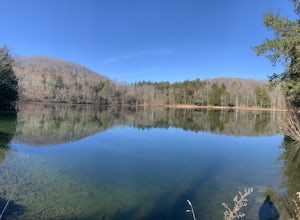
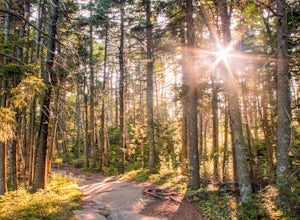
The Pogue and Mount Tom Trail
4.38 mi / 751 ft gainThe Pogue and Mount Tom Trail is a loop trail that takes you by a lake located near Woodstock, Vermont.Read more -
Bolton, New York
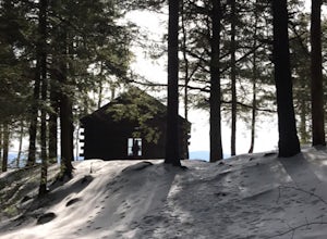
Hike Cat & Thomas Mountains Preserve
5.05.8 miThere are a few ways to approach these two peaks. We chose to do a traverse using two vehicles.Starting at Edgecomb Pond Rd you will park along the road. There will be a sign and yellow discs directing you to the start of the trail. The first 0.4 miles is following a dirt road. You will then ...Read more -
Keene Valley, New York
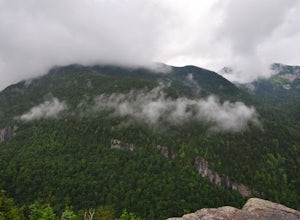
Hike Indian Head and Fish Hawk Cliffs
4.310.4 mi / 2000 ft gainAt 10.4 mile long, this lengthy, but easy loop takes you to two ADK lower peaks. The views from Indian Head and Fish Hawk Cliffs will blow your mind away. I love stopping here every time I make my way to ADK. The colors are absolutely gorgeous in the fall. From the parking lot, take the lake road...Read more -
Keene Valley, New York
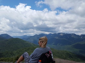
Hike to Noonmark Mountain
5.04.6 mi / 2300 ft gainThis trail actually begins off an easement of private roads at the Ausable Club. From the main road, you will see the Register and signage showing 2.1 miles to Noonmark. Continue on a gravel road until an arrow directs you to take a right into the woods. Follow the Stimson Trail to the summit. Th...Read more -
Keene Valley, New York
Hike to Gothics Mountain, Pyramid Peak, and Sawteeth Mountain via Beaver Meadow Falls
4.014.3 mi / 4900 ft gainGothics Mountain is number 10 in height on the 46ers list, standing at 4,736 feet. Pyramid Peak stands at 4,550 feet, but because of it's location and closeness to Gothics, it is not considered one of the 46ers. Sawteeth is number 35 in height on the 46ers list, standing at 4,100 feet.This is a 1...Read more -
Keene Valley, New York
Hike to Mount Colvin and Blake Peak
4.014.6 mi / 4000 ft gainMount Colvin and Blake Peak are located along the Colvin Range in the High Peaks Wilderness. Mount Colvin is number 39 on the 46er list, at 4,057 feet. Blake Peak is is number 43 on the list, at 3,960 feet, although new surveying methods discovered this summit just short of 4,000 feet, tradition ...Read more -
Jericho, Vermont
Americana and Mobbs Hill Loop
4.02.83 mi / 515 ft gainAmericana and Mobbs Hill Loop is a loop trail that is moderately difficult located near Jericho, Vermont.Read more -
Hartford, Vermont
Camp at Quechee State Park
4.0Located on the Ottauquechee River, Quechee State Park offers camping options right beside one of Vermont's most famous gorges—Quechee Gorge. The steel bridge that passes over the 165 ft. gorge is just one of many spectacular views in this area. Quechee State Park is on Route 4 and easily accessi...Read more -
Keene Valley, New York
Hike Rooster Comb Mountain
5.2 mi / 1795 ft gainTake in two unique views of the Adirondacks on one hike. Rooster Comb offers a great 5.2 mile round trip hike that gives you some unique vantage points. Starting from the parking lot you cross over a nice wooden bridge to the trail registry. Remember to sign in. Next you'll come up on a pond in w...Read more -
Waterbury Center, Vermont
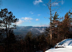
Hike Mt. Hunger
5.04.2 mi / 2263 ft gainMt Hunger stands at 3540 ft and face Vermont's tallest mountain, Mt Mansfield. At 45 min drive from Burlington, this is a challenging out and back hike. The views it offers and the waterfalls you will find along the path, makes it a good alternative to the overcrowded trails of Mt Mansfield. Th...Read more -
Keene Valley, New York
Climb Haystack, Basin & Saddleback
18 miThis hike starts in the Garden Parking Lot in Keene Valley, NY. The Garden parking lot (operated by the town of Keene) costs $7 per day from late April through the end of October (2014 rate). An attendant is on duty 1 p.m.-7 p.m. Fridays and 7 a.m.-7 p.m. Saturdays, Sundays, and holidays. Town e...Read more -
Dorset, Vermont
Hike 'The Merck'
4.02.5 miOf the 10 trails at The Merck, The Wildlife Trail is a great hike through the forest that offers you the best way to see wildlife, streams and tracks. You can do the whole hike as a loop in about 2-2 1/2 hours or shorten it up with some shortcuts if you just want a quick hike. Great for family ...Read more -
North Elba, New York
Hike Cascade & Porter Mountains
4.74.8 mi / 1900 ft gainCascade 4,098ft and Porter 4,084ft are two easy peaks which are usually hiked together. The trail starts on Rt 73 and you starts climbing up slowly but not challenging at all. Is 2.4 mIles to summit of cascade, the last 0.2 miles is a open rock scrambling but I'm the winter when the weather is b...Read more -
368 Weathersfield Trail, Vermont
Hike Mount Ascutney
3.05.2 mi / 2326 ft gainThis route to the top of Mount Ascutney is completed via the Weathersfield Trail. This trail goes past gorgeous Cascade Falls - often frozen in the winter months. There is a great spot to eat lunch at the top of Mount Ascutney to the side of the hang glider landing. While the summit itself does n...Read more -
Stowe, Vermont
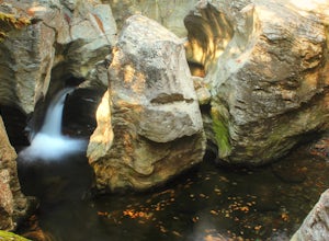
Hike to Bingham Falls
4.00.5 miHiking to Bingham Falls is rewarding for many reasons; people not only come to see the falls, but also to swim in the refreshing, icy cold swimming holes as well. The main falls are tucked away along the walls of a deep, rocky gorge that has been formed naturally over time. At the base of these ...Read more -
North Creek, New York
Hike Gore Mountain
5.010 mi / 3040 ft gainYou will start this hike following the blue blazed Schaefer trail. Though the sign shows 5.8 miles to the summit it is actually only 5.0 miles. Much of the way you follow Roaring Brook which has many waterfalls along the way. Just after the North Creek Reservoir you will get your first glance at...Read more

