Middlesex, Vermont
Looking for the best hiking in Middlesex? We've got you covered with the top trails, trips, hiking, backpacking, camping and more around Middlesex. The detailed guides, photos, and reviews are all submitted by the Outbound community.
Top Hiking Spots in and near Middlesex
-
6385 Vermont 5A, Vermont
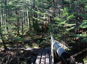
Hike to Mount Pisgah
4.04.1 mi / 1597 ft gainThe hike to Mount Pigsah is 4.1 miles out and back, just outside of Westmore, Vermont. The trail is most commonly used from March through October, but some people traffic this trail in the winter with crampons and sturdy hiking boots. This is an incredibly dog friendly trail. Be aware that there...Read more -
Warren, New Hampshire
Hike the Mt. Moosilauke Glencliff Trail
5.07.1 mi / 2454 ft gainTo get to the trailhead, take the 25N, turn right onto High Street and continue along this road until it comes to an end. The Mt Moosiulauke Glencliff Trail takes you through seven miles of forest and mountain scenery. The trail features impressive vistas and eye-catching wildflowers, which might...Read more -
Mendon, Vermont
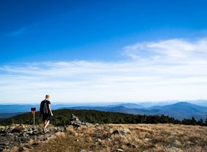
Hike to Killington Peak
5.03.4 miThe trail head (Bucklin Trail) is found a couple of miles up Wheelerville Road on the left. Wheerlerville is a dirt road that will be muddy in the spring and summer. The drive is long enough that you will think you did something wrong, but you haven't! the trail head will eventually pop up.The tr...Read more -
Woodstock, Vermont
The Pogue and Mount Tom Trail
4.38 mi / 751 ft gainThe Pogue and Mount Tom Trail is a loop trail that takes you by a lake located near Woodstock, Vermont.Read more -
Benton, New Hampshire
Hike Mount Moosilauke via Beaver Brook Trail
7.6 mi / 3150 ft gainThe trailhead is located along Lost River Road. There is a $5.00 day use parking pass required. The trail starts off on the Beaver Brook Trail (also the Appalachian Trail). The trail consists of cascades of rocks, wood-block steps and metal rungs (not all entirely in tact). It is very often ...Read more -
Castleton, Vermont
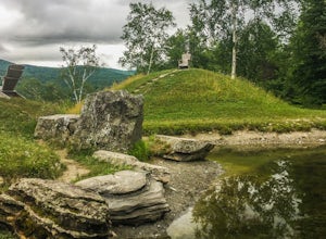
Hike around Taconic Mountains Ramble State Park
Taconic Mountains Ramble State Park is a unique collection of hiking trails and walking paths that meander more than 204 acres of fields, forests, gorges, cliffs, and gardens. The best way to explore these enchanting trails is to pack a picnic and lace up your hiking boots for a full-day ramble. ...Read more -
Hartford, Vermont
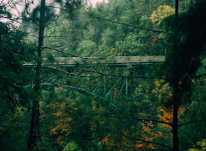
Camp at Quechee State Park
4.0Located on the Ottauquechee River, Quechee State Park offers camping options right beside one of Vermont's most famous gorges—Quechee Gorge. The steel bridge that passes over the 165 ft. gorge is just one of many spectacular views in this area. Quechee State Park is on Route 4 and easily accessi...Read more -
Woodstock, New Hampshire
Hike Mount Moosilauke via Gorge Brook Trail
4.87.4 mi / 2400 ft gainMount Moosilauke is a 4000 footer located in the White Mountain Range of New Hampshire. The summit peaks at 4,802 feet with a prominence of 2,933 feet.If you're new to exploring the White Mountain range this will definitely be a great introduction to what it can offer. The Gorge Brook Trail is th...Read more -
Franconia, New Hampshire
Hike Artists Bluff
4.31.5 miStarting from the Bald Mountain trailhead, the Artists Bluff trail takes you up a short but steep 1.5 mile path to a beautiful rocky overlook of Franconia Notch State Park. This is the perfect hike to find incredible views of the park and some amazing foliage in autumn. We parked across the stree...Read more -
Franconia, New Hampshire
Hike to the Summit of Cannon Mountain via Kinsman Ridge trail
5.04 mi / 3000 ft gainDriving north on I-93 in New Hampshire, Cannon Mountain can be seen on the left just a few miles after exit 32. It is a massive cliff that towers over the highway, thousands-of-feet tall. Parking for the trail head is left off of exit 34B. If you look left as you're driving into the paved parking...Read more

