Burke, Vermont
Looking for the best hiking in Burke? We've got you covered with the top trails, trips, hiking, backpacking, camping and more around Burke. The detailed guides, photos, and reviews are all submitted by the Outbound community.
Top Hiking Spots in and near Burke
-
Franconia, New Hampshire
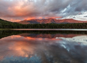
Lonesome Lake
4.53.05 mi / 1027 ft gainThe Franconia Notch area of New Hampshire has many roadside adventures to go on, bringing in thousands of visitors every year, but my favorite place in the notch is Lonesome Lake. At 3 miles, the hike is easy enough for the whole family, but most people visiting the notch stick to the roadside a...Read more -
Franconia, New Hampshire
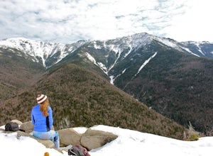
Winter Hike up Mount Lafayette
9 mi / 3900 ft gainTo start this hike, you can park right at the trailhead in a parking lot off of 93. This is a hike up a mountain so the entire hike is pretty challenging. There is a total elevation gain of 3900 feet in about 4.5 miles. A couple miles in you break through the treeline and then from there the view...Read more -
Franconia, New Hampshire
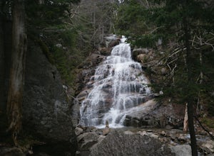
Hike Falling Waters Trail
4.03 mi / 1100 ft gainFalling Waters Trail takes you up to the summit of Little Haystack Mountain, and Mount Lincoln and Mount Lafayette if you continue to the Franconia Ridge Trail / Appalachian Trail, then over to Old Bridle Path.Also along Falling Waters Trail are stunning waterfalls. The most popular one is Cloudl...Read more -
Franconia, New Hampshire
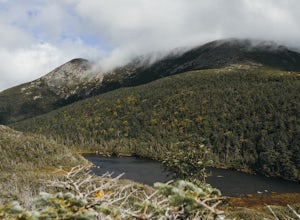
Hike to Greenleaf Hut via Old Bridle Path
5.05.5 mi / 3772 ft gainTo hike to the Appalachian Mountain Club's Greenleaf Hut, the best route for a day hike there and back is the Old Bridle Path. This hike is certainly doable in a day if you're interested in just hiking to the Greenleaf Hut. You have a lot of options when hiking this trail. I am going to focus spe...Read more -
Randolph, New Hampshire
Hike the Northern Presidentials
15.6 miThe Presidential Range is a mountain range located in the White Mountains of New Hampshire. They contain the highest peaks of the Whites and are named after Presidents of the U.S. I also want to add that this range is known for having some of the worst weather in America, mainly because of the un...Read more -
Randolph, New Hampshire
Summit Mount Jefferson, Mount Clay, and Mount Washington
4.010.5 mi / 4455 ft gainHike with at least one other and take two cars. First drop one car at the Cog Railway parking lot (Base Station Rd, Bretton Woods, NH). Jump into the second car and drive about 15 minutes to the Caps Ridge Trailhead on Jefferson Notch Road ( N 44° 18' 15"W 71° 21' 42" )The Caps Ridge Trail will l...Read more -
Randolph, New Hampshire
Hike Mount Jefferson
5 mi / 2700 ft gainMount Jefferson stands at 5712 feet, the third tallest mountain of the Presidential's in the White Mountain National Forest. The trail head begins at the Caps Ridge Trail on Jefferson Notch Rd. While 2.5 miles sounds easy, this hike is not for the once in while day hiker. Challenging rock scrambl...Read more -
Lincoln, New Hampshire
Explore the Basin in Franconia Notch
4.01 mi / 300 ft gainThe Basin is just one stop on the Pemigewasset Recreational Trail that follows along I-93 through Franconia Notch. The parking lot for the Basin is easily accessible from either north or south on I-93, and it has it's own exit sign which can't be missed.Park in the lot and follow the signs toward...Read more -
Lincoln, New Hampshire
Kinsman Pond via Basin Cascade
7.25 mi / 2215 ft gainOur hike began at the Basin, which is a clearly marked exit directly off 93. If you are coming from the Northbound side, walk under the bridge beneath 93 to get to the beginning of the trail. We enjoyed the Basin for a while before hiking 1.0 mile to the Cascade Brook Trail where we took a right....Read more -
Coaticook, Québec
Hike the Parc de la Gorge de Coaticook Yellow Trail
5.02.18 mi / 164 ft gainHiking trails at Parc de la Gorge de Coaticook are spread into 3 sectors to reveal the park’s attractions.For a day trip I will suggest doing the yellow trail, which is the one we did. It will bring you directly into the heart of the Gorge. It is quite a short hike, 1h30-2h00 and you'll get the c...Read more -
Lincoln, New Hampshire
Hike Mt. Liberty and Camp at Liberty Springs Tent Site
7 mi / 2870 ft gainLiberty Springs Trail is a moderately trafficked out and back trail in the heart of Franconia Notch State Park and the White Mountains. The trail is a part of the Appalachian Trail, which allows it to remain very well maintained throughout the year. The trail is listed as difficult and strenuous ...Read more -
Thompson and Meserves, New Hampshire
Hike Mt. Washington via Ammonoosuc Ravine Trail and Jewell Trail
5.07.4 mi / 3720 ft gainTo begin this hike, drive to Marshfield Station on Base Station Road in Jefferson, NH. There are several large parking lots capable of holding both hiker and Cog Railway traffic even on busy days. Parking in the lots at the Marshfield Station costs $5.00/day, there is a lot for hiker parking at t...Read more -
Carroll, New Hampshire
Hike Mt. Pierce
5.06.2 mi / 2412 ft gainMount Pierce (elevation 4312 ft.) is part of the Presidential Region in the White Mountain National Forest. Upon reaching the summit, you will be rewarded with 360 degree views of the surrounding mountains. To begin your hike, park at the Crawford Connector Trailhead. You will follow the Crawfo...Read more -
Carroll, New Hampshire
Mount Willard
5.03.07 mi / 958 ft gainThis hike begins at the trailhead behind Crawford Depot. The first 1/4 mile of the trail is relatively level. You will cross two small streams before the trail begins to steepen. For much of the trek up to the top of the mountain you will be following an abandoned carriage road. Along the sid...Read more -
Randolph, New Hampshire
Madison Spring Hut to Lake of the Clouds Hut via Gulfside Trail
5.06.76 mi / 2441 ft gainMadison Spring Hut to Lake of the Clouds Hut via Gulfside Trail is a point-to-point trail that provides a good opportunity to view wildlife located near Randolph, New Hampshire.Read more -
Crawford Notch Road, New Hampshire
Hike to the Summits of Mt. Jackson and Mt. Pierce
8 mi / 5000 ft gainFrom I93 take exit 35 onto rt 3. Follow that until you get to a four way intersection. Take a right onto rt 302 and follow that until you see an AMC information building on the right. Drive past the parking lot about 500 feet and park on the left right after the lake.From there take the Webster ...Read more

