Wayne County, Utah
Looking for the best photography in Wayne County? We've got you covered with the top trails, trips, hiking, backpacking, camping and more around Wayne County. The detailed guides, photos, and reviews are all submitted by the Outbound community.
Top Photography Spots in and near Wayne County
-
Lake Powell, Utah
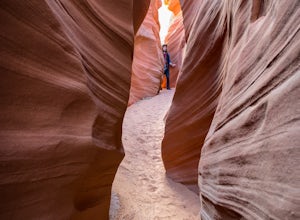
Blarney Slot Canyons
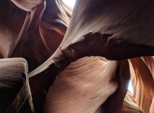
Who doesn’t enjoy a little slot canyon fun?!…Not far from Hanksville, Utah is this 1-mile round trip hike to one of Utah’s less visited slot canyons. Although Blarney Canyon is generally known for its canyoneering route, you can follow either the West or East Fork wash to get to the slots. You’ll...Read more -
Torrey, Utah
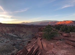
Sunset Point, Capitol Reef NP
2.53 mi / 1047 ft gainSunset Point Trail is an quick and easy 0.4 mile hike near the entrance of the park that provides you with beautiful views of the Capital Reef rim from the opposite side of the park. As the evening descends the setting sun illuminates the red rim rock formations giving them the best photographic ...Read more -
Torrey, Utah
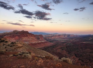
Hike the Chimney Rock Loop, Capitol Reef NP
5.03.46 mi / 909 ft gainFrom the trailhead, the trek starts off pretty step. You will reach a fork near the top of the plateau which starts the official loop. At the junction go left (counterclockwise). The trail offers wonderful views along the way. The loop will bring you on top of "chimney rock" for views over Hwy 24...Read more -
Torrey, Utah
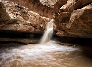
Capitol Reef's Sulphur Creek Route
4.85.87 mi / 1191 ft gainThis is a point-to-point hike that either requires a shuttle or 3 mile walk along highway 24. The starting trailhead is the Chimney Rock Trailhead which has limited parking. The ending trailhead is the Capitol Reef National Park Visitors Center. We only had one car so I dropped everyone off at th...Read more -
Wayne County, Utah
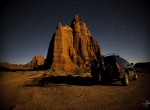
Drive the Cathedral Valley Loop
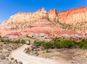
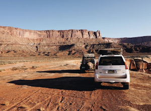
60 miThese set of roads are classified as 4x4 high clearance vehical roads. Not to mention this part of the park is remote and only about 10% of visitors access it. To get to Cathedral Valley, we were recommended to drive a “loop” by the park ranger, that entailed about 60 miles of high clearance dirt...Read more -
Cathedral Road, Utah
Temple of the Sun
5.03 miCathedral Valley is a scenic backcountry area in Capitol Reef National Park. It is a remote, stark desert, characterized by amazingly beautiful sandstone monoliths that some say resemble cathedrals. Many of the valleys structures have interesting, highly descriptive names: Temple of the Sun, Temp...Read more -
38.089236,-111.343124, Utah
Camp at Oak Creek Campground
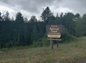
This campground is extremely easy to get to and is in a good location. It is located in the Dixie National Forest along Utah highway 12. The campground has a total of 9 spots most are good for small RV but nothing longer than 20ft. The campground has no electricity or water hookups but a water sp...Read more -
Garfield County, Utah
Hike in the Upper Muley Twist Canyon
4.510 mi / 750 ft gainThis hike is by far my favorite trail I've been on. To begin, you access Upper Muley Twist Canyon Road from the top of the Burr Trail Road switchbacks. Regular vehicles can be driven a little less than half a mile to the trailhead (adding about 3 miles to get to the trailhead, about 6 miles round...Read more -
Wayne County, Utah
Canyoneering High Spur Canyon
5 miFrom Moab, the drive to the canyon is approximately 4 hours long and much of it is on sandy or rocky dirt roads so it’s best to drive a 4x4 vehicle with good clearance. Drive past Hans Flat Ranger Station on the west side of Canyonlands National Park and make your way to the trailhead on Deadman’...Read more -
Emery County, Utah
Photographing Dutchman's Arch
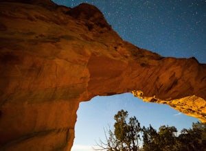
Duchman's Arch is visible from I-70 but ask anyone about it and they will look at you with a blank face. It's a great medium sized sandstone arch but getting there takes time and patience driving down sandy, rutted out, washboard roads.To get to the arch, take exit 131 and turn east. Follow the ...Read more -
Boulder, Utah
Camp at Deer Creek Campground
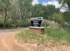
5.0Deer Creek campground is off of the Burr Scenic drive and right outside of the lower part of Capitol Reef National Park. This campground is perfect if you are driving from Bryce Canyon to Capitol Reef. There are a total of 7 tent sites in the campground. There are no spots for RVs and no turn aro...Read more -
Boulder, Utah
Drive the Burr Trail Scenic Backway
5.066.2 mi / 4124 ft gainThe Burr Trail is a 66 miles mostly-paved road connecting Boulder, Utah / Highway 12 with the Notom-Bullfrog road that passes through some of the most scenic (and largely untouched) painted-rock backcountry in three of our national parks/monuments including Grand Staircase-Escalante, Capitol Reef...Read more -
Mineral Canyon Road, Utah
Camp along the White Rim Road in Canyonlands NP
5.0100 miWow where to start… White Rim is one of those places where after the first day you will forget you are even on Earth anymore. The unreal views just don’t stop either. Every turn opens up to another amazing scene, massive canyon or beautiful vista. Make sure to take a dip in the Green River if ...Read more -
Green River, Utah
Visit the Petroglyphs in Black Dragon Wash
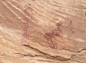
Black Dragon wash gets its name because of one of the petroglyphs, which oddly enough is a red dragon. The trail can be kind of hard to find but once you are in the canyon it is impossible to lose it. You follow the canyon for a bit and then you will see the petroglyphs on the north side beyond s...Read more -
Green River, Utah
Hike Lower Black Box Canyon
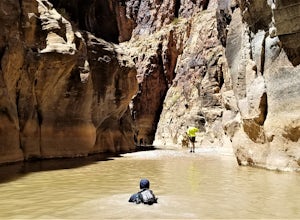
10 mi / -300 ft gainIt takes some commitment to get to the trailhead, but it’s worth it. After several dirt roads, follow a rocky 4X4 road for about 10 miles to the trailhead. Sunscreen up and walk down the path to an open wash. This wash runs into the San Rafael River. At the river, check the flow, it should be bel...Read more -
Boulder, Utah
Backpack Death Hollow in Grand Staircase-Escalante
22 mi / 1600 ft gainThe most popular route into Death Hollow is from the Boulder airstrip near the town of Boulder, Utah. The trailhead for the Boulder Mail Trail begins, or ends here depending on which way you are hiking. Leave a car at the Highway 12 bridge over the Escalante River for the thru hike, or get luck...Read more

