Tooele, Utah
Top Spots in and near Tooele
-
Salt Lake City, Utah
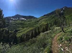
Hike Bowman Fork to Baker Pass
5.08.3 mi / 3375 ft gainTo get to the trailhead, drive up Millcreek Canyon about 4.5 miles until you reach the Terraces Picnic area. Turn here and drive up the small road until you reach the parking lot by the bathrooms. You'll see the Bowman Fork trailhead marker next to the parking lot. The trail climbs steadily and i...Read more -
Bountiful, Utah
Backpack to Rudy's Flat
4.07 miRudy's Flat is a great overnight hike with plenty of tent or hammock space and multiple established fire rings. This hike offers multiple options for distance depending on your availability and skill level.From the Mueller Park Canyon trailhead (5,234 ft), hikers will experience a gradual ascent ...Read more -
Bountiful, Utah
Trail Run to Elephant Rock
4.47 mi / 1025 ft gainMueller Park is a beautiful, quaint canyon, with some sweeping up canyon views throughout the ascent. The trail is a fun, family friendly single track from the bridge all the way to the rock. You will pass a bald strip (pipeline) that runs North to South which marks about halfway to the rock. At ...Read more -
Bountiful, Utah
Mountain Bike to Elephant Rock
5.0Mueller Park is a beautiful, quaint canyon, with some sweeping up canyon views throughout the ascent. The trail is a fun, flowy, well maintained single track from the bridge all the way to the rock. You will pass a bald strip (pipeline) that runs North to South which marks about halfway to the ro...Read more -
Pleasant Grove, Utah
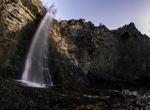
Battlecreek Falls
4.71.09 mi / 486 ft gainBattlecreek Falls is a great place to get away after a long day of work—or if you're looking for a great hike but are short on time. It's a great way to get the dog or your family out to enjoy some nature. The falls are about a 15-25 minute walk from the parking lot, the waterfall is enormous an...Read more -
Provo, Utah
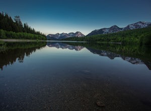
Backpack to Silver Lake
4.44.1 mi / 1500 ft gainThe trail is 4.1 miles roundtrip gaining almost 1,500 feet for the duration of the adventure. Some parts are exposed, so you can get a fair amount of sun.When you're on the trail, you'll get amazing views as you’re hiking to the lake of Mount Timpanogos and American Fork Canyon. This is followed ...Read more -
Provo, Utah
Camp at Silver Lake
4.54.4 mi / 1500 ft gainSilver Lake is a wonderful place to go if you're in need of a quick adventure in the woods. Located in the the Uinta National Forest, Silver Lake is relatively easy to get to via American Fork Canyon in Utah, however I do recommend driving a car with 4WD and can handle steep dirt roads with shar...Read more -
Sandy, Utah
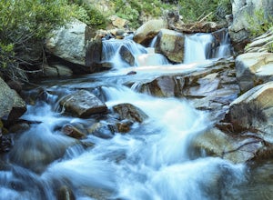
Photograph Little Cottonwood Creek at Snowbird
2.0Little Cottonwood Creek flows right through Snowbird Ski Resort and there are a few beautiful locations to go shoot the river at. The best place to start hiking down the river is right by where the tram takes off. That is just below the Cliff Lodge and right by the Peruvian Lift. There's a res...Read more -
Sandy, Utah
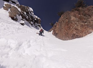
Backcountry Ski Suicide Chute on Mt. Superior
5.00.6 mi / 1245 ft gainFirst of all it's not as scary as it sounds, or as scary as it looks. That being said it's a steep chute in dangerous avalanche terrain so only experienced skiers with backcountry skiing knowledge/equipment should attempt this route.Suicide Chute is located on the South face of Mt. Superior in L...Read more -
Sandy, Utah
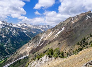
Hike and Climb the S. Ridge of Mt. Superior
4.54.5 mi / 1800 ft gainApproach: Start by parking on the side of the road just above the Snowbird Cliff Lodge. Then there will be some bushwhacking as you work your way up the southern slopes of Mount Superior following the path of least resistance until reaching the winter avalanche path under the south face and to th...Read more -
Alta, Utah
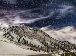
Stargazing and Night Photography at Hellgate Spring
From the base of Little Cottonwood Canyon, follow the road approximately 7 miles until you reach the area between the Snowbird and Alta ski resorts. Looking north, several mountain peaks are visible, including both Mount Superior and Hellgate Spring. The mountain face of Hellgate Spring (GPS coor...Read more -
Brighton, Utah
Hike or Trail Run Butler Fork
5.07.2 mi / 1964 ft gainTo get to the trailhead, drive up Big Cottonwood Canyon 8 miles. The parking lot is on the left side of the road. The first half mile is the steepest of the whole trail so don't get too intimidated by it, it mellows out a lot after. You will come to fork in the trail about a mile in, you can eith...Read more -
Brighton, Utah
Backcountry Ski Butler Fork
2 miThe trail head for Butler Fork is 8 miles up Big Cottonwood Canyon on the left side of the road. Throw your gear on and head up the trail. Continue along the skin track and after about 20 minutes you'll come upon a fork in the trail. The right trail will take you up the East Fork towards Butler B...Read more -
Syracuse, Utah
Buffalo Point Trail
5.00.95 mi / 253 ft gainBuffalo Point Trail is a heavily trafficked out-and-back trail that takes you by a lake located near Syracuse, Utah.Read more -
Davis County, Utah
Hike the Buffalo Point Trail on Antelope Island
4.01 mi / 300 ft gainAntelope Island State Park is a gem within the Utah State Park system. With over 28,000 acres, it is the biggest island located in the Great Salt Lake...the largest salt water lake in the Western hemisphere. It is incredibly scenic, with beautiful shoreline and beaches, grassy plains, mountaino...Read more -
Salt Lake City, Utah
Little Mountain in Emigration Canyon
4.34 mi / 440 ft gainJust off of Highway 80, head up Emigration Canyon Road to the trailhead. There is a large parking area on the opposite side of the road from the trailhead. The parking area comes equipped with a bathroom if you need one. To get started, cross the road and start heading uphill. Keep in mind that...Read more

