Salt Lake County, Utah
Top Spots in and near Salt Lake County
-
Sandy, Utah
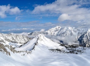
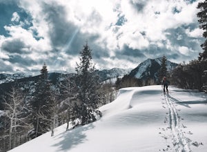
Winter Hike the Pfeifferhorn
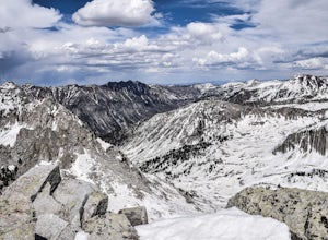
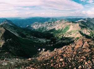
5.09 mi / 3600 ft gainRising to a height of 11,326 feet, the Pfeifferhorn is one of the most majestic and iconic peaks in the Wasatch Mountains, and also one of the most popular mountains to hike. During the summer and fall, there is a well beaten trail all the way to the summit, but during the winter and spring, this...Read more -
Sandy, Utah
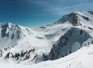
Ski or Snowboard Pink Pine Ridge
Arrive at the White Pine Trailhead early and start up from the main trailhead. Stay on that trail until you hit the river (Most of the time the river is buried, so look for a sign sticking up out of the snow) and the fork to go up to White Pine or Red Pine. Cross the river heading west and contin...Read more -
Sandy, Utah
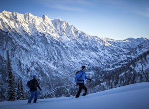
Backcountry Ski White Pine Fork
7 miThe White Pine Trailhead is up Little Cottonwood Canyon on the south side of the road just before you get to Snowbird Ski Resort. The parking lot fills up very quickly so an early start is recommended. The skin track starts in the southwest corner of the parking lot near the bathrooms. You will f...Read more -
Tooele, Utah
Catch a Sunset at the Great Salt Lake Marina
Head west on I-80 and get off on the Saltair exit. You will drive past the music venue and into the Great Salt Lake state park. Right before the marina you will veer left onto a dirt road and this will take you right up to the black rock. Prepare yourself for the wonderful smell of the Great Salt...Read more -
Tooele, Utah
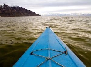
Kayaking on the Great Salt Lake
3.5Launch your kayak or SUP from the marina, which is located only 20 minutes from downtown Salt Lake City. You can go as long and far as you want. Some popular short destinations are to Black Rock (2 miles RT(40.725294, -112.227835)) or Pyrite Point (5 miles RT (40.758405, -112.191853). Neither are...Read more -
Sandy, Utah
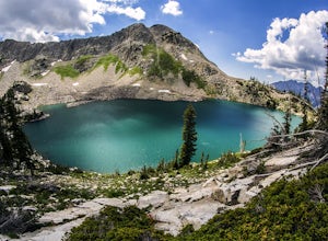
White Pine Lake
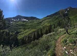
4.59.97 mi / 2917 ft gainJust about 5 miles (2-2.5 hrs) from the trailhead, you will find the beautiful White Pine Lake where the water is an intense blue color. It's an amazing place for photos and just hanging out on a summer or fall afternoon. Along the way you will have great views of mountains of all colors, beautif...Read more -
Sandy, Utah
Red Pine Lake Trail
5.06.94 mi / 1995 ft gainRed Pine Lake, located in Red Pine Fork of the Wasatch Mountains, is one of the premier hiking and backpacking destinations in Little Cottonwood Canyon. Red Pine Fork is sandwiched in between White Pine Fork and Maybird Gulch to the east and west, respectively. All three are accessed via the Whit...Read more -
Alpine, Utah
Day Hike to South Thunder Mountain
12.2 mi / 5604 ft gainThe summit of South Thunder Mountain, sitting at 11,154 ft, is a superb peak. Located on the Alpine Ridge of the Wasatch Mountains, this peak is criminally overlooked.The Schoolhouse Springs trailhead leads you onto an old dirt road, that switchbacks for about 2 miles through the foothills, befor...Read more -
Salt Lake City, Utah
Little Mountain in Emigration Canyon
4.34 mi / 440 ft gainJust off of Highway 80, head up Emigration Canyon Road to the trailhead. There is a large parking area on the opposite side of the road from the trailhead. The parking area comes equipped with a bathroom if you need one. To get started, cross the road and start heading uphill. Keep in mind that...Read more -
Brighton, Utah
Hike or Trail Run Butler Fork
5.07.2 mi / 1964 ft gainTo get to the trailhead, drive up Big Cottonwood Canyon 8 miles. The parking lot is on the left side of the road. The first half mile is the steepest of the whole trail so don't get too intimidated by it, it mellows out a lot after. You will come to fork in the trail about a mile in, you can eith...Read more -
Brighton, Utah
Backcountry Ski Butler Fork
2 miThe trail head for Butler Fork is 8 miles up Big Cottonwood Canyon on the left side of the road. Throw your gear on and head up the trail. Continue along the skin track and after about 20 minutes you'll come upon a fork in the trail. The right trail will take you up the East Fork towards Butler B...Read more -
Alpine, Utah
Horsetail Falls - Dry Canyon
5.04.01 mi / 1808 ft gainHorsetail Falls is a somewhat short hike located near Alpine, UT. The hike has good elevation gain and will make you work a bit to get there. The reward is worth the effort as you arrive at the falls and take a great view while being refreshed in the mist of the falls. The trail is straightforwar...Read more -
Salt Lake City, Utah
Hike Cardiff Fork
8 mi / 2880 ft gainCardiff Fork and Donut Falls share the same parking lot, so depending on what time of week you go exploring here, it may be the most packed parking in all of the Wasatch. Head up on a weekday for less crowds. The Cardiff Fork trailhead is follows the rocky jeep road around the parking lot to the...Read more -
Salt Lake City, Utah
Donut Falls
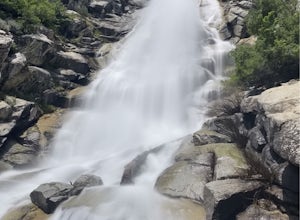
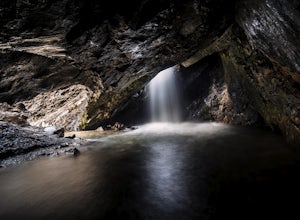
4.11.53 mi / 413 ft gainThe Trail Follow the trail for just a little bit and when it forks, stay to the left and you will arrive to Donut Falls. Once at the waterfall, climb up the rocks to get to the cave at the top, which is not visible from the bottom. To take pictures inside of the cave, you will most likely get yo...Read more -
Salt Lake City, Utah
Kessler Peak in Utah's Big Cottonwood Canyon
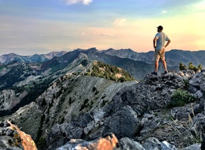
4.74.66 mi / 2733 ft gainKessler Peak is a 10,403-foot peak located in Big Cottonwood Canyon. From the top, you can see all the way to the Uintas to the East, The tram at Snowbird to the south, and the Salt Lake Valley to the west. To the north is Mount Raymond and Gobblers Knob. Kessler Peak is the terminus and highes...Read more -
Salt Lake City, Utah
Big Cottonwood Canyon Astrophotography
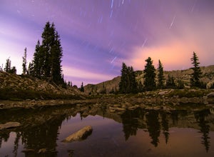
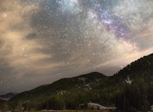
Located in the Wasatch Mountains, less 30 minutes from Salt Lake City, Big Cottonwood Canyon, provides some of the best rural dark-sky viewing of the Milky Way in the Wasatch.The Donut Falls trail head/Mill D trail head, close to the ski resorts of Brighton and Solitude, additionally provides one...Read more

