Salt Lake County, Utah
Top Spots in and near Salt Lake County
-
Salt Lake City, Utah
Snowshoe Lake Blanche
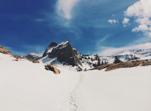
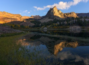
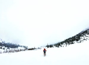
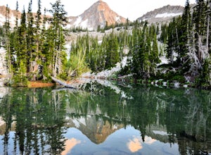
5.05.6 miLake Blanche is an extremely popular hike along the Wasatch Range in Utah. During the summer and fall months the lake, wildlife, flowers, and Sundial Peak as a backdrop offer spectacular views.Lake Blanche is one of the most beautiful and scenic lakes in Utah and turns into a winter wonderland on...Read more -
Salt Lake City, Utah
Broads Fork Basin and Beaver Pond
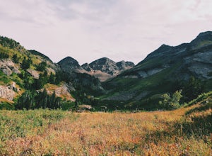
4.05.1 mi / 2083 ft gainThe Broads Fork trailhead starts in Big Cottonwood Canyon in the same parking lot as the Lake Blanche trailhead, this trailhead is on the west side of the parking lot. The trail is very easy to follow and is well marked. Follow the trail until you come to a great big basin. Here you will be able...Read more -
Salt Lake County, Utah
Lake Blanche Trail
4.56.76 mi / 2766 ft gainThe hike is only 6 miles roundtrip, but it's pretty steep the whole way. It will take about 1.5 - 2 hrs to get up and about 45 min - 1hr to get back down. This can be longer depending on weather conditions and if you choose to loop the lake. At the Mills B Trailhead, you will head to the far end ...Read more -
Salt Lake County, Utah
Lake Blanche & Sundial Peak
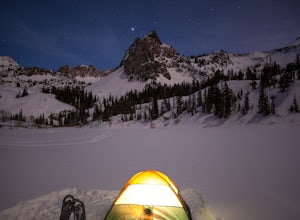
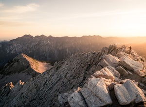
5.09.52 mi / 4098 ft gainThis is a popular hike all year round, but less popular in the winter. If you’re backpacking you’ll most likely be alone. In winter, the lake is covered in snow, but Sundial Peak is one of the most picturesque mountains in the Wasatch. Especially when it is dusted with snow. You’ll also be far en...Read more -
Salt Lake County, Utah
Broads Fork Twin Peaks
5.08.57 mi / 4984 ft gainThe Broads Fork trailhead starts in Big Cottonwood Canyon in the same parking lot as the Lake Blanche trailhead. This trailhead is on the west side of the parking lot. The trail is marked and easy to follow for a good chunk of the way. You will come to a big basin and alpine meadow where you wil...Read more -
Herriman, Utah
Hike to Kennecott Copper Mine
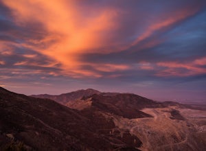
5.04 miFrom Salt Lake City go on UT-201W, then take Bacchus Highway all the way until the intersection with Butterfield Canyon Road. This is where you can park your car and follow the dirt road for roughly 2 miles until you come to a fork. One road from the fork leads to Middle Canyon and the other to t...Read more -
Sandy, Utah
Climbing in the Lone Peak Cirque
4.0Lone Peak reaches 11,253 feet at its summit. It's alpine feel is unique as it stands above the busy city below. While this gem is one of the highlights in the Wasatch range, it must be earned. A long steep approach, best done at night in the summer months, deposits you in the high meadow surround...Read more -
Salt Lake City, Utah
Hike Porter Fork, Millcreek Canyon
5.06.8 mi / 3250 ft gainPorter Fork starts at the aptly named Porter Fork Trailhead about 4 miles up Millcreek Canyon. It’s actually Porter Fork Road for the first 1.5 miles of the trail. This section is a pleasant, paved path winding up through a dozen or so cabins. You’ll gain about 1,000 feet. If you make it past the...Read more -
Salt Lake City, Utah
Trail Run Burch Hollow Trail
5.3 mi / 2412 ft gainThe Burch Hollow trailhead is about a quarter mile up the Pipeline trail in Millcreek Canyon. After hiking along the switchbacks of the Pipeline trail, you'll see a sharp turn in the trail that leads you up the side of the mountain. This turn can easily be missed so keep a good look out for it. C...Read more -
Sandy, Utah
Explore Little Cottonwood Canyon's Lisa Falls
3.8Lisa Falls sits approximately 0.22 miles from Little Cottonwood Canyon Road. While the trail is not long or particularly steep, there are some large step ups that could be difficult for either the very old or very young. Nonetheless, this is a great option for a family outing.Once you arrive at t...Read more -
Salt Lake City, Utah
Hike Bowman Fork to Baker Pass
5.08.3 mi / 3375 ft gainTo get to the trailhead, drive up Millcreek Canyon about 4.5 miles until you reach the Terraces Picnic area. Turn here and drive up the small road until you reach the parking lot by the bathrooms. You'll see the Bowman Fork trailhead marker next to the parking lot. The trail climbs steadily and i...Read more -
Salt Lake City, Utah
Hike the Mineral Fork Trail
4.09.3 mi / 3500 ft gainThe trailhead begins along Big Cottonwood Canyon Road, with a relatively small parking lot at the trailhead. Starting early in the day is advised, as on nice summer days it will fill up quickly. The trail has a steady ascent for the first 2 miles starting around 6700' through aspen forests and cr...Read more -
Salt Lake City, Utah
Backcountry Ski Mineral Fork
4.2 miMineral Fork is on the right side of the road about 5.8 miles up Big Cottonwood Canyon next to a cell tower and a giant brown Forest Service gate. There is room on the side of the road to park your car and throw your gear on. Once on the trail, you'll do a few switchbacks up the side of the mount...Read more -
Sandy, Utah
Summit the Pfeifferhorn
5.09 mi / 3700 ft gainStarting at the White Pine Trailhead in Little Cottonwood Canyon, UT, hike southwest until reaching the junction to Red Pine Canyon. Take the trail that crosses the stream and continues west around the ridge. The trail will quickly turn south and begin to gain elevation. Continue west as you pass...Read more -
Sandy, Utah
Hike to Maybird Lakes (Maybird Gulch)
5.07.5 mi / 2000 ft gainThis out and back hike begins at the same trailhead as White Pine Lake and Red Pine Lake which are both a lot more popular that Maybird Lakes. You follow the trail to Red Pine Lake for the first 2.5 miles and then there is a bridge and you follow that across the river to get on the trail to Maybi...Read more -
Sandy, Utah
Camp at the Cottonwood Ridgeline
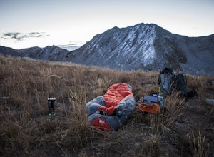
Begin at the White Pine Trailhead in Little Cottonwood Canyon. Follow the trail up toward Red Pine Lake. The trail gets a little hard to follow after the lake, but find your way up to the ridge between Pfeifferhorn and White Baldy. Set up camp and enjoy a night in the high mountains. Morning will...Read more

