Salt Lake County, Utah
Looking for the best hiking in Salt Lake County? We've got you covered with the top trails, trips, hiking, backpacking, camping and more around Salt Lake County. The detailed guides, photos, and reviews are all submitted by the Outbound community.
Top Hiking Spots in and near Salt Lake County
-
Provo, Utah
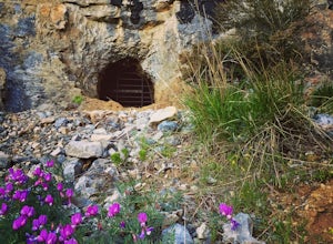
Hike to Buckley's Abandoned Mine
4.63 mi / 200 ft gainOnce you reach the mine it's gated but you can slide in. Follow the main tunnel a hundred or so feet back and climb the 75 foot ladder up to the second level. You can then make your way back out to the cliff face where there is another gate to the outside. That gate is a little trickier to squeez...Read more -
Provo, Utah
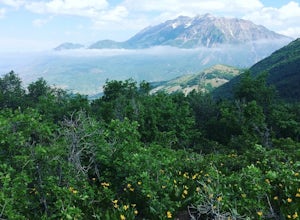
Hike Squaw Peak
4.57.1 mi / 2700 ft gainSquaw Peak Trail is a great hike if you live in Provo, since it is a quick getaway. But still definitely worth the trip if you don't. This 7.1 mile hike has beautiful views and does not long to do Usually it takes about three hours from start (Rock Canyon) to finish (the Peak) at a decent clip. T...Read more -
Provo, Utah
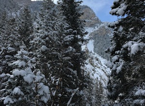
Snowshoe the Rock Canyon Trail
3 mi / 1630 ft gainThe Rock Canyon trail is a heavily trafficked path that brings people of all ages. In the winter the mountains are covered in snow and the path is well packed down due to the volume of people that are hiking. After about a mile of hiking, you will enter the more dense part of the canyon with lo...Read more -
Tooele County, Utah
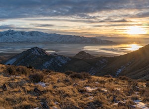
Stansbury Island Trail
2.88.87 mi / 2585 ft gainRarely will you ever see another person at the underrated Stansbury Island, the second largest island within the Great Salt Lake in Utah - even though a dirt causeway connects it to land, it is still considered an island. The lack of crowds make this a good place to hike, take photos, and enjoy t...Read more -
Provo, Utah
The Y Trail
3.52.29 mi / 1063 ft gainHiking the Y is a classic hike in Provo, Utah—but don't expect it to be easy! There's no shade and not much greenery, so it's a hot, dusty trek to the top. Once you reach the Y, though, the view of the Provo and Utah Lake is amazing. There are also benches at the top. When you reach the Y, you w...Read more -
Provo, Utah
Hike to the Summit of Buckley Mountain
4.018 mi / 5000 ft gainThere are a few ways to get to the top of Buckley, but the funnest (and most strenuous) way to get up to Buckley is taking the trail up Slate Canyon. Slate Canyon has a parking lot and bathroom located at the base of the trail, and the trailhead is about ten minutes from the Provo Center Street e...Read more -
Kamas, Utah
Explore the Mirror Lake Scenic Byway
4.7Mirror Lake Scenic Byway is breathtaking. There is lots to take in via longer trips, but with numerous viewpoints, lakes, and the Provo River just off the main highway, the drive through alone is well worth it.There is SO much to do in the Uintas, with activities ranging from lakeside picnics to ...Read more -
Ogden, Utah
Waterfall Canyon Trail via Ogden Park
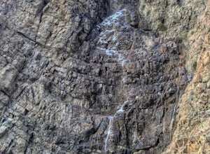
3.03.3 mi / 1699 ft gainWaterfall Canyon Trail via Ogden Park is an out-and-back trail that takes you by a waterfall located near Ogden, Utah.Read more -
Ogden, Utah
Waterfall Canyon
4.02.44 mi / 1394 ft gainWaterfall Canyon is one of the most popular hikes in the Ogden area. The trailhead is easy to find, just head east on 29th street until you hit the base of the mountains and the parking lot is on the right. There are plenty of parking spots and restrooms but sometimes the restrooms are locked. T...Read more -
Huntsville, Utah
Green Pond Loop
4.52.44 mi / 436 ft gainAbout a mile before Snowbasin, is a parking lot with a map and trail marker. The first incline is steep and follows a single track trail that leads to the ponds. This trail is great year-round, but in the winter, you may have some stray backcountry snowboarders in the area. It's pretty quiet over...Read more -
Ogden, Utah
Malans Peak
5.04.3 mi / 2129 ft gainYou can reach this trail either via 27th Street or 29th Street in Ogden, Utah. Get on one of those roads and then head east until you reach the mountain. On 27th St. there is some parking on the road with a sign reminding people to keep their dogs on leash. On 29th St. there is a large parking lo...Read more -
Kamas, Utah
Hike Riley's Canyon
5 mi / 200 ft gainAproximately two miles Southeast of Woodland, UT on Highway 35 you will come to a small turnout on the North side of the road. It is sufficient in size for a handful of vehicles to park, so that passengers can make their way into Riley's Canyon. From the turn off, look to the North and you will s...Read more -
Springville, Utah
Maple Mountain (aka Spanish Fork Peak)
10.56 mi / 4524 ft gainThe trail starts out very easy, but keep an eye out for the fork in the trail at the creek. It's easy to miss. It's right at the metal bench that will be on the left. Cross the creek and continue another quarter mile or so when you'll notice another branch to your left. Keep going straight here a...Read more -
Ogden, Utah
Hike the Wheeler Creek and Icebox Canyon Loop
4 mi / 400 ft gainTo get to the trailhead from Ogden drive up Ogden Canyon toward Pine View Reservoir. Right when the canyon begins to open up and you can see the actual dam there is a turn off on the south side of the road that leads down a dirt road to a very small parking area and the trailhead. If the parking ...Read more -
Ogden, Utah
Ben Lomond via North Skyline Trail
5.015.75 mi / 3671 ft gainThe trail starts in the Right Fork North Ogden Canyon near Liberty, Utah. Park in the main parking lot and then cross the road to the trailhead. You will see a sign at the beginning indicating that the Ben Lomond summit is 8.2 miles away. In the spring, it is quite difficult to make it all the ...Read more -
Springville, Utah
Rappel the Red Ledges
4.01 mi / 180 ft gainThis is a sweet spot to go rappelling near Spanish Fork, UT. It's located at the Red Ledges in Diamond Fork Canyon. There is a picnic area, grill and restrooms near the base. The unique formations are beautiful to hike around and fun to rappel down. The hike is pretty short, but steep. We did...Read more

