Orderville, Utah
Looking for the best photography in Orderville? We've got you covered with the top trails, trips, hiking, backpacking, camping and more around Orderville. The detailed guides, photos, and reviews are all submitted by the Outbound community.
Top Photography Spots in and near Orderville
-
Hurricane, Utah
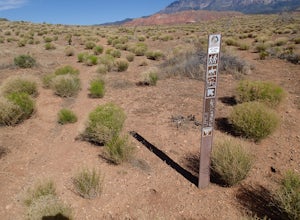
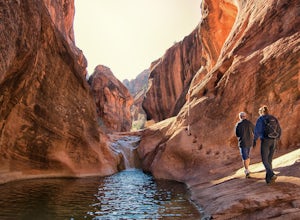
Hike the Historic Babylon - Little Purgatory Loop
6 mi / 1000 ft gainThe trailhead has space for about three or four cars. Watch for an obvious gap in the cliffs very close to the trailhead, this is where you should park. Just before exiting the gap, look to the left for some interesting petroglyphs. The trail follows a dry wash through some heavy vegetation for a...Read more -
Henrieville, Utah
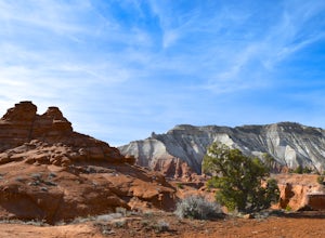
Angel's Palace Trail
5.0Kodachrome Basin State Park is located about 9 miles south of Cannonville which is on Highway 12 - midway between Bryce Canyon National Park and Escalante Petrified Forest State Park. It is slightly out of the way, but well worth the detour.Angel's Palace Trail is an excellent option if you have ...Read more -
Tropic, Utah
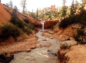
Hike Mossy Cave in Bryce Canyon
3.31 miThis short hike cannot be reached from the main area of Bryce Canyon, but with a 15 minute drive from the main entrance you can access this less crowded portion of the park. Check out a park map for the directions. This is very family-friendly, and is actually more of a "walk" than a "hike."It is...Read more -
Tropic, Utah
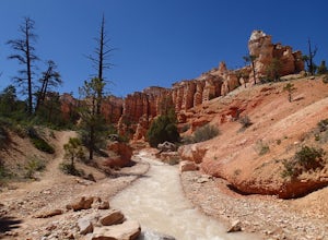
Hike the Tropic Ditch Trail
5.02 miFrom the Mossy Cave trailhead, follow the wide easy trail along the Tropic Ditch stream for .35 miles. At that point, the trail splits. To the left is Mossy Cave and to the right is Water Canyon Falls. The trail is lined with beautiful colored cliffs and hoodoos that Bryce Canyon is famous for. T...Read more -
Hurricane, Utah
Red Cliffs Recreation Nature Trail
4.51.39 mi / 266 ft gainHike along streams that run through red sandstone - the blue water makes a fun contrast against the red rocks and sand. To get to the trailhead, drive to the Red Cliffs Campground about 20 minutes north of St. George. There is a small fee to park or camp at the campground. This trail starts in ...Read more -
Kanab, Utah
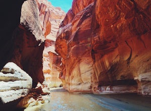
Hike through Paria Canyon
5.014.94 mi / 846 ft gainNo matter how far you plan on hiking, it is ideal to get an early start so you aren’t hiking too long under the desert sun. There is no shade on this hike except for the shadows offered from the steep walls of the canyon, so make sure you bring sunscreen! From the very start, you’ll get your fee...Read more -
Kanab, Utah
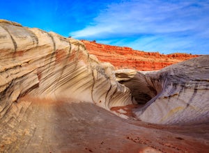
Hike to the Nautilus
4.30.5 miLike the submarine in Twenty Thousand Leagues Under The Sea, Jules Verne called it "A Masterpiece Containing Masterpieces." The Nautilus, what some say is shaped like a corkscrew or a sea shell, is a white sandstone formation with multiple colors, shapes and textures. This makes it a great place ...Read more -
Kanab, Utah
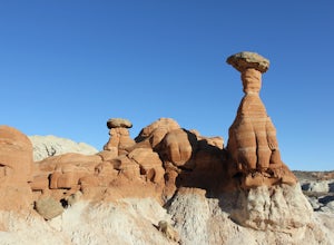
Hike to the Toadstools Hoodoos
5.01.8 mi / 141 ft gainLocated just off of the side of the US-89 highway between Springdale and Page (about 40 miles east of Kanab) you'll probably drive right past this park and have to pull a u-turn (I did!), but it's worth the stop! Keep your eyes out on the North side of the highway for a little parking lot with a ...Read more -
Kane County, Utah
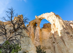
Hike to Grosvenor Arch
5.01.16 mi / 285 ft gainGrosvenor Arch is a sandstone double arch located in Grand Staircase-Escalante National Monument. The arch is named after Gilbert Hovey Grosvenor, a president of the National Geographic Society. To reach the arch, park in the trailhead parking lot off Last Chance Creek Road. The arches are vis...Read more -
Washington, Utah
Camping at Yant Flat
5.02.6 mi / 500 ft gainThough only a few miles from civilization as a bird flies, this trailhead is only accessible via a dirt road (that can be quite bumpy - high clearance vehicles recommended though I did it in a car). Given the condition of the road, drive time can be 45 minutes from St George, Utah. The road is ...Read more -
Marble Canyon, Arizona
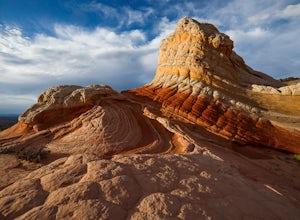
Hike to the White Pocket
5.04 miWhite Pocket is extremely difficult to access due to the road leading to it. There are sections with very deep, soft sand going uphill! You must have a high clearance 4WD vehicle and air down your tires to have any hope of making it here. Do not take this lightly, a tow bill will cost you a minim...Read more -
Marble Canyon, Arizona
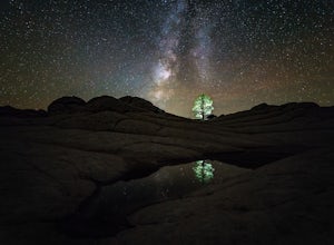
Night Photography at White Pocket
White Pocket is a remote outcropping of sandstone formations in Vermillion Cliffs National Monument similar to the famous "Wave". Unlike The Wave, a permit isn't needed to visit, but you will need a high-clearance 4WD vehicle with good tires; alternatively, you can hire a 4WD tour service in near...Read more

