Oakley, Utah
Top Spots in and near Oakley
-
Provo, Utah
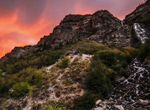
Bridal Veil Falls
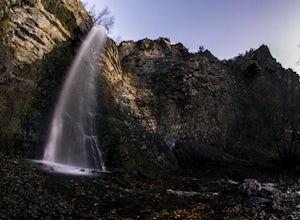
4.80.47 mi / 285 ft gainHeading on Provo Canyon Rd the waterfall is just on the right hand side. You will see a sign that says "Bridal Veil" to turn in and park at the falls. At the falls you can hike up a bit to get closer to the waterfall but you will get sprayed quite a bit. Usually a few people there take photos at ...Read more -
Provo, Utah
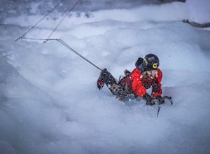
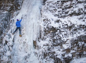
Ice Climbing Provo Canyon
There are a number of good ice climbing areas in the canyon. Everything from short easy water ice on up to the most difficult mixed route in the state are available. The area surrounding Bridal Veil Falls usually sees the most traffic. There are too many great routes to names here. For more in de...Read more -
Salt Lake City, Utah
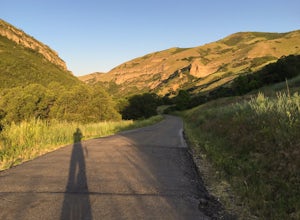
Cycle City Creek Canyon
5.0City Creek Canyon is a hidden gem, just minutes away from downtown Salt Lake City. Secluded winding roads will take you deep into the canyon, away from the bustling city. The sounds of the creek, canyon views, and the thick forest that lines the road provide for the perfect, quick escape.Starting...Read more -
Sandy, Utah
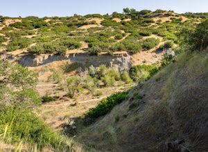
Dimple Dell Trail West
3.88 mi / 236 ft gainDimple Dell Trail West is an out-and-back trail where you may see beautiful wildflowers located near Sandy, Utah.Read more -
Draper, Utah
Lone Peak via the Cherry Creek Logging Trail
14.8 mi / 6378 ft gainYou start this trail at the Orson Smith Park in Draper. It joins with the Bonneville Shoreline Trail briefly before turning off onto the cherry creek logging trail. It switchbacks for a long ways exposed on towards the valley. It is fairly steep in places, but doable. I had tennis shoes with ...Read more -
Draper, Utah
Lone Peak via Jacobs Ladder
4.714.2 mi / 6713 ft gainThe main trail to Lone Peak is via Jacobs Ladder. To get to the start of the trailhead you need to drive on a dirt road for a little bit until you get to a little parking area (start of the road indicated on the map). The trail starts just south of where you park on the dirt road. The Jacobs Lad...Read more -
Sandy, Utah
Climbing in the Lone Peak Cirque
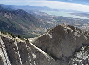
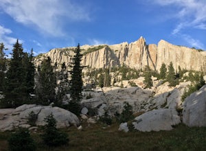
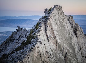
4.0Lone Peak reaches 11,253 feet at its summit. It's alpine feel is unique as it stands above the busy city below. While this gem is one of the highlights in the Wasatch range, it must be earned. A long steep approach, best done at night in the summer months, deposits you in the high meadow surround...Read more -
Salt Lake City, Utah
Ensign Peak
4.20.97 mi / 354 ft gainThis hike is a piece of cake with a sizable reward. It starts just up the hill behind the Capitol Building and ascends 350 feet over about 0.5 miles to the top on a very well marked trail. It's great for a family with young ones or maybe a quick post-dinner evening date. Parking is all along a re...Read more -
Pleasant Grove, Utah
Battlecreek Falls
4.71.09 mi / 486 ft gainBattlecreek Falls is a great place to get away after a long day of work—or if you're looking for a great hike but are short on time. It's a great way to get the dog or your family out to enjoy some nature. The falls are about a 15-25 minute walk from the parking lot, the waterfall is enormous an...Read more -
Centerville, Utah
Hike to the Rope Swing on Deuel Creek Trail
5.02.6 mi / 646 ft gainNot only is this hike absolutely gorgeous, but it also has an epic rope swing at the end! To get to the trailhead you'll need a vehicle that can handle rough roads—you have to drive up a bit on the side of the mountain to get to the trailhead. The beginning of the hike is marked with a little bul...Read more -
Centerville, Utah
Hike to the Parrish Creek Pictographs
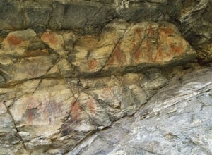
4.71 mi / 200 ft gainThe petroglyphs are pretty easy to find and it is such a short hike you can do it in about 45 minutes. To get to the trailhead, drive to Centerville, Utah and take 400 N all the way towards the mountain. The road with curve to the right with a small dirt road heading to the left. Take the dirt ro...Read more -
Evanston, Utah
Backpack to Dead Horse Lake
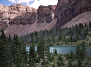
5.021 mi / 1400 ft gainDead Horse Lake is a lightly trafficked and highly scenic route in the High Uintas Wilderness. The trail is easy enough to do overnight but I recommend taking an extra day to explore the area around Dead Horse Lake. From the trailhead you will hike south on the West Fork Blacks Fork trail. The...Read more -
Orem, Utah
Ice Climbing Pipe Dream
5.0With a couple weeks of cold temps this pipe fed ice flow comes in nicely. It is WI 3-4 depending on thickness. Grab a small grill, some friends and drinks and get in a few ice laps. Most of the routes can be set up for top roping.Park on the north side of the road roughly a mile from the mouth of...Read more -
Provo, Utah
Hike to Summit of Buffalo Peak
1 mi / 500 ft gainDrive up Provo Canyon and turn right on Squaw Peak Road. Follow the road til you reach the T in the road and head left on Road 027. Follow it 2.9 miles to the unmarked trail head. It is located next to a wooden fence on the right of the road and next to a sign about fire and wildlife safety. ...Read more -
Provo, Utah
Buffalo Peak Trail
0.97 mi / 213 ft gainBuffalo Peak Trail is an out-and-back trail where you may see wildflowers located near Provo, Utah.Read more -
South Jordan, Utah
Fish at the East Riverfront Fishing Ponds
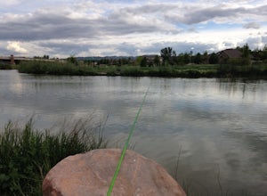
5.00 mi / 0 ft gainThese are great little ponds located at 11267 S. River Front Pkwy in South Jordan. It is just off of a section of the Jordan River. Kidney Pond is the one located just by the parking. Midas is just above and you can see it from the parking. You can fish here for rainbow trout, channel catfish, bl...Read more

