Morgan, Utah
Looking for the best chillin in Morgan? We've got you covered with the top trails, trips, hiking, backpacking, camping and more around Morgan. The detailed guides, photos, and reviews are all submitted by the Outbound community.
Top Chillin Spots in and near Morgan
-
Kamas, Utah
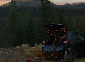
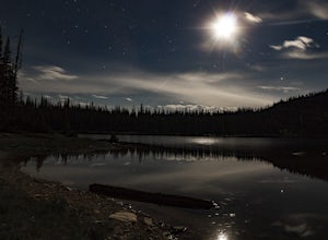
Camp at Shallow Lake Meadow
Located 1.5 hours from Salt Lake Cityand just 1 hour from Park City this mountain meadow is a great placeto take your next adventure! Getting there was a piece of cake, theroad is mainly paved then turns to lava...I mean gravel for the lastmile. Along the road are several already established camp...Read more -
Pleasant Grove, Utah
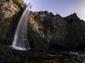
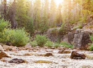
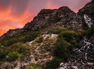
Battlecreek Falls
4.71.09 mi / 486 ft gainBattlecreek Falls is a great place to get away after a long day of work—or if you're looking for a great hike but are short on time. It's a great way to get the dog or your family out to enjoy some nature. The falls are about a 15-25 minute walk from the parking lot, the waterfall is enormous an...Read more -
Hanna, Utah
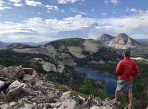
Hike to Cuberant Lake
6 mi / 1066 ft gainThe hike to Cuberant Lake is 3-miles with a couple of steeper sections, but for the most part, it is a flat hike. From the Pass Lake Trailhead, you will head west on the Lofty Lake Loop Trail. On this part of the trail, you pass through meadows with Bald and Reid Peaks in the background, which is...Read more -
Hanna, Utah
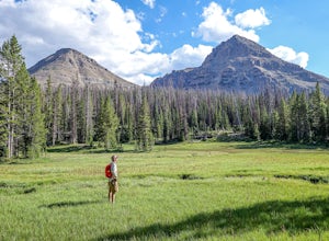
Hike the Lofty Lake Loop Trail
4.54.2 mi / 935 ft gainLofty Lake Loop Trail is located in the High Uintas near Kamas, Utah. The trail can be found right off the Mirror Lake Scenic Byway about 32 miles east of Kamas and starts at the Pass Lake Trailhead. This is a fairly mellow trail with some areas of good elevation gain, enough to get your heart w...Read more -
Kamas, Utah
Backpack to Notch Lake
5.04.6 mi / -600 ft gainThe hike to Notch Lake begins at the Bald Mountain trailhead. You'll need to display a recreation pass in your vehicle to park at the trailhead. You can purchase a pass for $6 at the fee station entering the forest boundary (east of Kamas) or at the Forest Service office right in Kamas. Take the ...Read more -
Kamas, Utah
Camp up Murdock Basin Road
4.0Murdock Basin Road is located about 22 miles up Mirror Lake Highway (UT-150) from Kamas, UT. After turning right onto Murdock Basin Rd, you'll cross a bridge over the Provo River and then it's onto the dirt road. Sites are scattered on the left and right (I suggest the left side spots) with plent...Read more -
Oakley, Utah
Backpack to Cutthroat Lake
4 mi / 280 ft gainThere isn't a trail to Cutthroat Lake so for a portion of the hike will be cross-country. I highly recommend bringing a GPS but with intermediate route-finding skills you should be able to find your way. We used the Gaia GPS app and this made the hike much easier. The distance depends on the r...Read more -
Provo, Utah
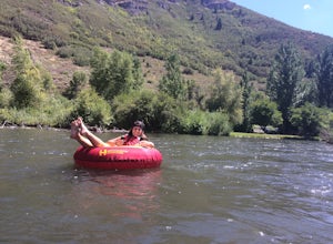
Floating the Provo River
4.3There's no better way than spending a hot summer day floating down a river with your friends. The Provo River offers incredible views of Mount Timpanogos and other surrounding mountains in the Provo Canyon. The easiest way to do this adventure is to visit High Country Adventure in the Provo Cany...Read more -
Provo, Utah
Bridal Veil Falls
4.80.47 mi / 285 ft gainHeading on Provo Canyon Rd the waterfall is just on the right hand side. You will see a sign that says "Bridal Veil" to turn in and park at the falls. At the falls you can hike up a bit to get closer to the waterfall but you will get sprayed quite a bit. Usually a few people there take photos at ...Read more -
Hanna, Utah
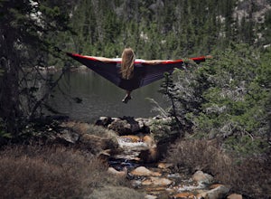
Camp at Pyramid Lake in Murdock Basin of Utah's Uinta Mountains
Grab a fishing pole, hammock, or book. Pyramid Lake is the perfect setting to kick back and relax in Murdock Basin of Utah's Uinta Mountains! Pyramid Lake is at an elevation of 9,700 feet with a 1,000-foot tall mountain directly to the west of the lake. Due to this steep face butting up to the e...Read more

