Monticello, Utah
Looking for the best hiking in Monticello? We've got you covered with the top trails, trips, hiking, backpacking, camping and more around Monticello. The detailed guides, photos, and reviews are all submitted by the Outbound community.
Top Hiking Spots in and near Monticello
-
Moab, Utah
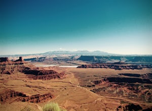
Hike the West and East Rim Loop at Dead Horse Point
5.04.98 mi / 928 ft gainThis is a 5.5 mile loop, if you opt out of the several in/outs to various lookout points, which extend the hike to about 10 miles -- do not opt out! These lookout points get better and better. However, you can skip the only modest part of the trail, where the West and East rims of the trail meet...Read more -
Moab, Utah
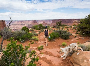
Hike the Big Horn Overlook Trail
4.03.5 mi / 0 ft gainAs a pet owner, you probably know that bringing your pooch along on your National Park adventures can be a frustrating experience. Most of our Parks do not allow pets on trails, and for several good reasons, but if you bring your dog(s) with you to Moab country, you’ll be happy to know that there...Read more -
Moab, Utah
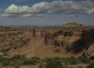
Hike the Neck Spring Trail
5.8 mi / 260 ft gainWith minor changes in elevation, a couple easy scrambles and the opportunity to find your route by cairns, the Neck Spring Trail is the perfect way to get acquainted with Island in the Sky area of Canyonlands National Park.Starting at the Shafer Canyon Overlook parking lot, the Neck Spring trail ...Read more -
Moab, Utah
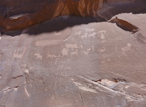
Visit the Poison Spider Petroglyphs
4.30.5 mi / 250 ft gainNot many people visit this petroglyph site because of the steep access trail. From the Poison Spider parking lot, walk the trail that leads to the slab with an obvious dinosaur track highlighted when people put plaster in the track to make a mold. This, of course, is prohibited. Work your way up...Read more -
Moab, Utah
Camp at Williams Bottom Campground in Moab
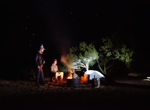
4.0Williams Bottom Campground and its 17 first-come first-serve campsites are tucked into the side of the Colorado River Canyon on Utah Highway 279 aka "Potash Road" just 15 minutes from downtown Moab. It is commonly known as one of *the* rock climbing campground on the west side of Moab, as there a...Read more -
Moab, Utah
Mountain Bike the Pipe Dream Trail in Moab
6 mi / 730 ft gainThere are multiple trailheads to access the Pipe Dream trail in Moab. This time we chose to start at the Jackson Street parking area and rode the pipeline trail south for approximately 3-miles. This section of trail is a 2-track road that follows, you guessed it, the gas pipeline. It climbs aroun...Read more -
Moab, Utah
Camp at King's Bottom
4.0Kane Creek is a massive canyon, with the Colorado river at it's feet and red cliffs towering on either side. There are numerous trail heads and campgrounds the farther you explore into the canyon. However, these sites fill up fast. The canyon restricts camping to only designated sites, capping th...Read more -
Moab, Utah
Power Dam
3.32.19 mi / 505 ft gainThis is a great little swimming hole spot in Moab. A lot of locals will call it The Power Dam. It's just a short easy 1.5-mile hike up the canyon to a natural swimming pool where you can swim and hang out. This is a perfect little spot to check out in Moab while visiting the great national parks....Read more -
Moab, Utah
Rock Climbing Moab's Wall Street
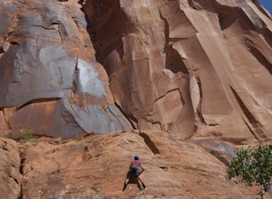
4.4Moab's Wall Street is exactly what it sounds like, but nothing like the "Wall Street" you're familiar with. Several miles off Highway 279, it hugs the Colorado River on one side and a towering 500ft sandstone wall littered with climbing routes on the other. There is easy access to all of the clim...Read more -
Moab, Utah
Camp at Sand Flats Recreation Area in Moab
3.0The rock domes and slickrock around the campsites provide fun for young and old to scramble on, or simply enjoy the sunrise or sunset. Located just outside of the town of Moab Utah is the Sand Flats Recreation Area. The area is managed jointly by the Bureau of Land Management and Grand County Uta...Read more -
Moab, Utah
Drive Fins & Things
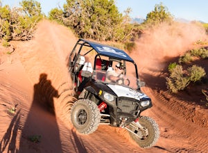
5.09.4 mi / 900 ft gainFins & Things is a 9.4 mile classic Moab ATV / 4WD trail rated 5 by the Red Rock Four-Wheelers. It is steep, has great traction, some fantastic slalom cutes and of course, glorious views of the Moab redrock scenery. The one-way trail is broken into three sections and begins at campsite E-6 in...Read more -
Moab, Utah
Upheaval Dome Overlook
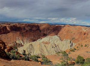
4.01.21 mi / 200 ft gainUpheaval Dome is a geologic structure whose origins have remained hotly debated for years. Some scientists say it is the site of a meteorite impact while others theorize it is nothing more than a naturally occurring salt dome. No matter what the true answer is, there is no question that this shor...Read more -
Moab, Utah
Syncline Loop in Canyonlands NP
5.07.87 mi / 1955 ft gainBe advised, the NPS signs and maps that warn of a very difficult hike ahead are not hyperbole, as I thought at first. This hike is a loop around the famous Upheaval Dome on an unmaintained trail that leads you down over 1500 feet into the canyon, close to the Green River, then climbs back up 1500...Read more -
Moab, Utah
Trail Run Moab's Slickrock Trail
8.8 mi / 944 ft gainThe Slickrock Trail is well known in the mountain biking community and has put Moab on the map as one of the premier mountain biking destinations in the world. The good news for folks who don't mountain bike is that it's just as much fun to run or hike.It's a loop trail and very well marked with ...Read more

