Hurricane, Utah
Looking for the best hiking in Hurricane? We've got you covered with the top trails, trips, hiking, backpacking, camping and more around Hurricane. The detailed guides, photos, and reviews are all submitted by the Outbound community.
Top Hiking Spots in and near Hurricane
-
Hurricane, Utah
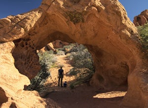
Hike Arch Trail to Babylon Arch
5.01.5 miArch Trail to Babylon Arch is a short family friendly hike to the Virgin River and back. The trail is very sandy, which makes climbing hills difficult. The arch is really neat and totally worth the visit.To get to the trailhead will require 4 wheel drive and if its recently rained I would not rec...Read more -
Hurricane, Utah
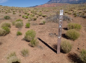
Hike the Historic Babylon - Little Purgatory Loop
6 mi / 1000 ft gainThe trailhead has space for about three or four cars. Watch for an obvious gap in the cliffs very close to the trailhead, this is where you should park. Just before exiting the gap, look to the left for some interesting petroglyphs. The trail follows a dry wash through some heavy vegetation for a...Read more -
Toquerville, Utah
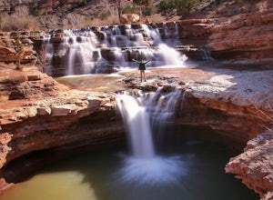
Toquerville Falls
4.811.75 mi / 2044 ft gainToquerville Falls is a hidden waterfall nearby a small town named Toquerville. The road is rugged - saying rugged is kind of an understatement. Medium or high profile 4x4 is recommended. I drove a Toyota FJ Cruiser and it took me about half an hour to get there from Toquerville. The picture doesn...Read more -
Hurricane, Utah
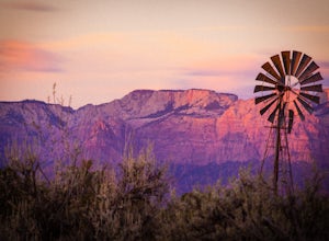
Running Windmill Trail
8 miWindmill trail and trailhead sits just down the road from Gooseberry Mesa Trailhead in Apple Valley, Utah. Head out on this figure-8 loop for as long as you want. If you're smart, you'll bring your MTB, and you can ride the singletrack once you're done getting your run in.This is also a great spo...Read more -
Hurricane, Utah
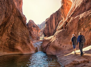
Red Cliffs Recreation Nature Trail
4.51.39 mi / 266 ft gainHike along streams that run through red sandstone - the blue water makes a fun contrast against the red rocks and sand. To get to the trailhead, drive to the Red Cliffs Campground about 20 minutes north of St. George. There is a small fee to park or camp at the campground. This trail starts in ...Read more -
Hurricane, Utah
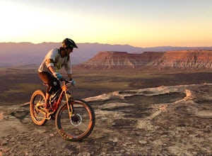
Camp at Little Creek Mesa
5.0Experience solitude and beauty at Little Creek Mesa Utah. When you get there, grab a campsite, and go for an evening mountain bike ride along the rim of the mesa and see breathtaking views of the valley below as the sun sets. Little Creek Mesa is located 22 miles from Hurricane, Utah and only 8 ...Read more -
Virgin, Utah
Camp on Dalton Wash Road
5.00.5 mi / 500 ft gainZion National Park. Truly one of the beauties of the American Southwest. With red walls and orange sunsets, Zion is a must-see. However, during the busy season of the parks, finding a campsite that hasn't been snagged can be difficult. That's why I'd suggest looking for a quieter, equally as beau...Read more -
Washington, Utah
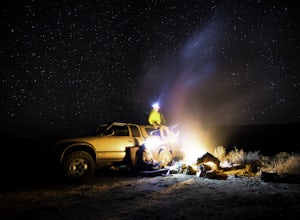
Camping at Yant Flat
5.02.6 mi / 500 ft gainThough only a few miles from civilization as a bird flies, this trailhead is only accessible via a dirt road (that can be quite bumpy - high clearance vehicles recommended though I did it in a car). Given the condition of the road, drive time can be 45 minutes from St George, Utah. The road is ...Read more -
Washington, Utah
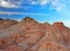
Yant West Loop
4.03.44 mi / 709 ft gainYant West Loop is a loop trail that takes you past scenic surroundings located near Washington, Utah.Read more -
Rockville, Utah
Camp off the Smithsonian Butte Backcountry Byway
5.09.5 mi / 800 ft gainSmithsonian Butte Backcountry Byway is gorgeous 9.5 mile road that runs between Rockville near the entrance to Zion National Park and Apple Valley UT, and affords excellent places to camp & boondock *as long* as it is 0.5 miles from the road itself (and there are numerous turn offs). To get ...Read more -
Virgin, Utah
The Subway - Bottom Up
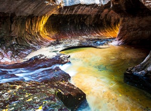
4.96.82 miStart your day early at the Left Fork Trailhead on Kolob Terrace Road from the town of Virgin outside Zion National Park. This 6.5 mile out and back hike will take you to one of the most beautiful features in Zion National Park: The Subway. You'll start with a steep descent into the canyon. This ...Read more -
Virgin, Utah
Canyoneering Lambs Knoll
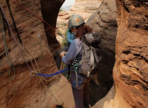
5.01 mi / 200 ft gainLocated just outside of Zion National Park's boundaries, Lamb's Knoll is a popular destination among adventure seekers. This area is unique as it offers routes for both climbing and canyoneering. Perfect for beginners, the canyoneering routes at Lamb's Knoll are half day routes that takes you thr...Read more -
Virgin, Utah
Rock Climb in Lambs Knoll
5.0If you're a rock climber, then chances are you've got Zion National Park on your list of to do's, or must go back. The beautiful sandstone just keeps calling you back and asking you to climb more. Although not technically in the park, Lambs Knoll is right across the street in the north western pa...Read more -
Virgin, Utah
Hop Valley Trail, Zion NP
3.014.58 mi / 1000 ft gainThis 6.5 mile (one-way) trek is a multi-functional trail. The trail can serve as standalone trail allowing hikers to get in either a solid in-and-out day hike or as a leg to a much bigger and epic Trans-Zion Trek. For those interested in the later, the Hop Valley Trail is the leg of the journey t...Read more -
Virgin, Utah
Connector Trail, Zion NP
5.04.9 miThis 4.9-mile (one-way) trek is a multi-functional trail. The trail can serve as standalone trail allowing hikers to get in either a solid in-and-out day hike or as a leg to a much bigger and epic Trans-Zion Trek. For those interested in the later, the Connector Trail is the leg of the journey th...Read more -
Pine Valley, Utah
Whipple Trail
11.56 mi / 3133 ft gainWhipple Trail is an 11.6-mile out-and-back hike. You'll hike switchbacks and climb elevation to a valley in the Pine Valley Mountains. With the distance and elevation gain, this can be a challenging hike. For the first 2 miles, you climb close to 900 ft in elevation, but it’s absolutely stunnin...Read more

