Heber City, Utah
Top Spots in and near Heber City
-
Brighton, Utah
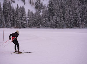
Cross-Country Ski at the Solitude Nordic Center
Located at the top of Big Cottonwood Canyon, Solitude Mountain Resort is known for it's quaint atmosphere and great downhill skiing. But for those who want to get away from the crowds, try something different, and get a great workout in the process, it also offers 20 Kilometers of groomed cross-...Read more -
Alta, Utah
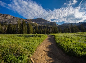
Cecret Lake
4.41.78 mi / 509 ft gainCecret Lake is reached by driving up Little Cottonwood Canyon to Albion Basin above Alta Ski Resort. The hike is just under 1 mile to the lake and should take about 30 minutes. The hike goes through fields full of wildflowers and wildlife is abundant. Moose, deer, and various wildlife can be s...Read more -
Provo, Utah
Backpack to Silver Lake
4.44.1 mi / 1500 ft gainThe trail is 4.1 miles roundtrip gaining almost 1,500 feet for the duration of the adventure. Some parts are exposed, so you can get a fair amount of sun.When you're on the trail, you'll get amazing views as you’re hiking to the lake of Mount Timpanogos and American Fork Canyon. This is followed ...Read more -
Provo, Utah
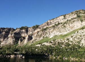
Camp at Silver Lake
4.54.4 mi / 1500 ft gainSilver Lake is a wonderful place to go if you're in need of a quick adventure in the woods. Located in the the Uinta National Forest, Silver Lake is relatively easy to get to via American Fork Canyon in Utah, however I do recommend driving a car with 4WD and can handle steep dirt roads with shar...Read more -
Salt Lake City, Utah
Photograph Guardsman Pass & The Alpine Loop
5.0Since this is a loop you can start at either end, but this is the way we did it. Start driving up Big Cottonwood Canyon. Enjoy the views and take in the impressive peaks on either side of the road. See the changes in vegetation as you gain elevation in the canyon. As you near the top and pass Sol...Read more -
Salt Lake City, Utah
Snowboard or Ski Guardsman Pass
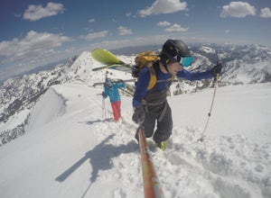
4.0If you want to escape the crowds and get in some nice powder, then a hike up Guardsman Pass is well worth the effort. To reach the trail, park on the side streets just below the gates to avoid the no parking signs and keep your tires just on the road to avoid getting stuck.When you pack up your g...Read more -
Brighton, Utah
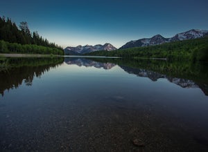
Photograph Star Trails at Silver Lake
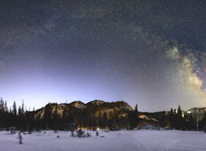
1 miSilver Lake is one of the easiest, most accessible hikes in the Wasatch, located at the top of Big Cottonwood Canyon, Utah, close to the ski resorts of Brighton and Solitude.The lake is accessible all year; with a boardwalk or a well-signed path circling the lake through spring to fall. In the wi...Read more -
Salt Lake City, Utah
Ski Baldy's Main Chute at Alta Ski Area
5.0Do you like hiking? In ski boots? Good.You start the hike from the gate to Snowbird at the EBT near the top of the Sugarloaf lift. The start of the bootpack is at 10,500 ft of elevation. From there, follow the likely well established boot pack to the top of Baldy. There is one rather steep sectio...Read more -
Park City, Utah
Park City Mountain Ski Resort Trail
18.24 mi / 3468 ft gainPark City Mountain Ski Resort Trail is a loop trail where you may see beautiful wildflowers located near Park City, Utah.Read more -
Salt Lake City, Utah
Backpack Lake Catherine and Bag Sunset Peak
3.53 mi / 1200 ft gainAny chance to get into the backcountry of the Wasatch Mountains is worth it. Many people day hike in the area, but not very many backpack in. The trail meets up with the Great Western Trail and overlooks Lake Catherine. The best place to camp is in the woods next to the lake. Hike down to the lak...Read more -
Salt Lake City, Utah
Hike Mount Wolverine
4 mi / 1425 ft gainThis mountain can be conquered two ways and is a great after-work adventure to watch the sunset, an early morning trail run, or a fun family challenge. The trail is 4 miles and 1,425 feet elevation gain (from the Alta side) or 6 miles and 2,050 feet (from the Brighton side). Both routes converge ...Read more -
Salt Lake City, Utah
Hike Catherine Pass
4 mi / 1115 ft gainCatherine Pass is a must do if you are in the Salt Lake vicinity in July. The wildflowers are mind-blowing. But it’s a great hike to do in the Spring, after Alta Ski Resort has closed, and the Fall as well. It costs $6 per vehicle to drive to the trailhead, or $10 per person to ride the lift (if...Read more -
Park City, Utah
Run the Historic Park City Union Pacific Rail Trail
28 mi / 800 ft gainThe Park City Rail Trail is a fantastic trail for walks, running, and biking in the spring, summer, and fall. During the winter it's groomed so you can Nordic ski, fat bike, run or walk. Park City's historic Union Pacific Rail Trail has been paved from Bonanza Drive in Park City all the way out ...Read more -
Salt Lake City, Utah
Backcountry Ski USA Bowl
1.6 mi / 1700 ft gainTo get the the trailhead, drive up Big Cottonwood Canyon until you reach the upper entrance into Solitude Ski Resort. You can park on the road just below the entrance to the resort. Across the street is a road called Old Stage Road, this is where the trail head begins. The road is covered in snow...Read more -
Alta, Utah
Spring Backcountry Ski Alta Ski Area
5 mi / 1800 ft gainStill have the skiing itch but it's late in the spring and the resorts have closed and the other backcountry skiing areas have melted? No problem, just head up to Alta Ski Area and get some amazing backcountry corn skiing laps in. Drive up Little Cottonwood Canyon all the way to the top and park...Read more -
Alta, Utah
Cecret Lake from Albion Basin
4.94.48 mi / 1214 ft gainThe out-and-back trail from Albion Basin to Cecret Lake climbs a gentle slope and along the way there are interpretive signs with information about the basin, its plants, animals and geology. From the lake you can return the same way you came, or explore the area more. If you head there during t...Read more

