Heber City, Utah
Looking for the best photography in Heber City? We've got you covered with the top trails, trips, hiking, backpacking, camping and more around Heber City. The detailed guides, photos, and reviews are all submitted by the Outbound community.
Top Photography Spots in and near Heber City
-
Centerville, Utah
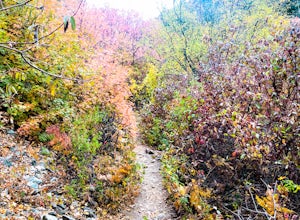
Hike to the Rope Swing on Deuel Creek Trail
5.02.6 mi / 646 ft gainNot only is this hike absolutely gorgeous, but it also has an epic rope swing at the end! To get to the trailhead you'll need a vehicle that can handle rough roads—you have to drive up a bit on the side of the mountain to get to the trailhead. The beginning of the hike is marked with a little bul...Read more -
Centerville, Utah
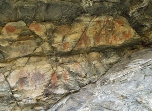
Hike to the Parrish Creek Pictographs
4.71 mi / 200 ft gainThe petroglyphs are pretty easy to find and it is such a short hike you can do it in about 45 minutes. To get to the trailhead, drive to Centerville, Utah and take 400 N all the way towards the mountain. The road with curve to the right with a small dirt road heading to the left. Take the dirt ro...Read more -
Evanston, Utah
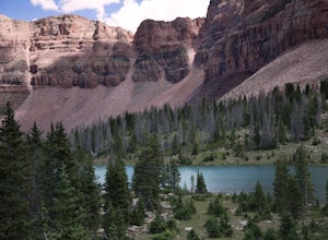
Backpack to Dead Horse Lake
5.021 mi / 1400 ft gainDead Horse Lake is a lightly trafficked and highly scenic route in the High Uintas Wilderness. The trail is easy enough to do overnight but I recommend taking an extra day to explore the area around Dead Horse Lake. From the trailhead you will hike south on the West Fork Blacks Fork trail. The...Read more -
Evanston, Utah
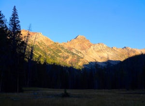
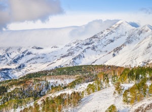
Backpack Mount Beulah via East Fork of the Bear River Trailhead
5.018 mi / 3423 ft gainGetting thereThis trip could be crammed into a really long day or even two days, but give yourself three days to really enjoy the area and not be too pressed for time.Your departure point is the East Fork of the Bear River Trailhead on the north slope of the Uintah Mountains. For most, this will ...Read more -
Evanston, Utah
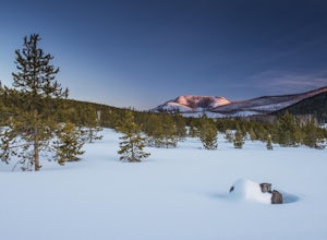
Camping and Skiing at Lily Lake
When driving to the trailhead you must go through Evanston Wyoming to get there. The trailhead is located near the Bear River Lodge off the Mirror Lake Highway (UT 150).The Lily Lake area in the Uintas is full of snowy landscapes waiting to be explored on skis, snowshoes, or even a snowmobile. Yo...Read more -
Payson, Utah
Mount Nebo via North Rim Trail
4.58.6 mi / 2897 ft gainMount Nebo is the tallest of all the mountains in the Wasatch, and also one of the easiest to hike, due to the fact that the trail begins at an elevation of ~9300 ft. The parking area for the trailhead is along a short dirt road, which is precisely marked on the location map. The trail itself is...Read more -
Salt Lake City, Utah
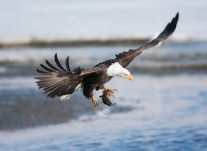
Birding at Farmington Bay
5.0Every winter as the ice thaws, eagles gather at Farmington Bay to feed on huge populations of carp. This can produce a pretty amazing set of circumstances where it's not uncommon to see birds feeding just 50 yards from shore.The prime viewing opportunity happens around "Bald Eagle Day," an event ...Read more -
Evanston, Utah
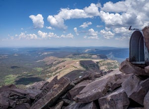
Hike to Tokewanna Peak in the High Uintas
17 mi / 4202 ft gainClimbing all of Utah's 13ers is nota popular trend, yet. Most people seek out Colorado's 14ers for their summit height, but don't let Utah's 13ers be overshadowed by their neighbors to the East. Utah's 13ers are remote. The closest 13er to a road is Tokewanna which comes in around 17-18 miles rou...Read more -
Tooele, Utah
Catch a Sunset at the Great Salt Lake Marina
Head west on I-80 and get off on the Saltair exit. You will drive past the music venue and into the Great Salt Lake state park. Right before the marina you will veer left onto a dirt road and this will take you right up to the black rock. Prepare yourself for the wonderful smell of the Great Salt...Read more

