Garfield County, Utah
Looking for the best hiking in Garfield County? We've got you covered with the top trails, trips, hiking, backpacking, camping and more around Garfield County. The detailed guides, photos, and reviews are all submitted by the Outbound community.
Top Hiking Spots in and near Garfield County
-
Lake Powell, Utah
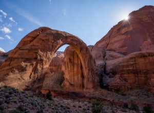
Boat-In Hike to Rainbow Bridge
1.5 miIf you need to rent a boat for this adventure, you can rent one from Lake Powell Resorts and Marina.The canyon leading into the Rainbow Bridge is located between mile markers 49-50. This is almost exactly halfway between Page and Bullfrog, making this a great trip from either marina. Plan on arou...Read more -
Lake Powell, Utah
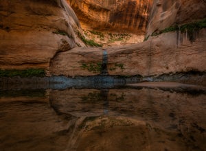
Explore Lake Powell's Clear Creek Canyon by Powerboat
To access this adventure, you'll want to park at Bullfrog Marina. From there, you can rent a boat at the Bullfrog Marina Rentals, and head out straight from there, going south on the lake. Clear Creek Canyon lies about 2.5 miles past the entrance to the Escalante River Arm, which is located betwe...Read more -
Lake Powell, Utah
Boat-In Camp at The Rincon in Lake Powell
To get to The Rincon, you will first want to park your car and rent a boat (or bring your own power boat) at Bullfrog Marina. The marina does rentals for everything from houseboats to power boats to jet skis and kayaks/SUP boards. For this adventure, I recommend either a houseboat or a power boat...Read more -
Lake Powell, Utah
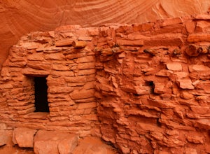
Hike to the Ancestral Puebloan Ruins in Forgotten Canyon
4 mi / 200 ft gainThe Ancestral Puebloan Ruins found up Forgotten Canyon can only be described as awe inspiring and humbling. The small adobe brick homes are known as the Defiance House. It is believed that there were a couple of families (15-20 people) who dwelled in these homes circa 1200 A.D. These ruins can ...Read more -
Garfield County, Utah
Hike in the Upper Muley Twist Canyon
4.510 mi / 750 ft gainThis hike is by far my favorite trail I've been on. To begin, you access Upper Muley Twist Canyon Road from the top of the Burr Trail Road switchbacks. Regular vehicles can be driven a little less than half a mile to the trailhead (adding about 3 miles to get to the trailhead, about 6 miles round...Read more -
Kane County, Utah
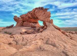
Sunrise Arch
The trailhead starts at Coyote Gulch Trailhead in the Grand Staircase - Escalante National Monument. There is actually no trail to the arches but they are pretty easy to find and even easier with a GPS. The coordinates are Sunrise Arch = 37.382214,-111.04838 and Sunset Arch = 37.38191,-111.048397...Read more -
Kane County, Utah
Day Hike Crack-in-the-Wall to Jacob Hamblin Arch in Coyote Gulch
5.011 mi / 2000 ft gainDrive to Hole in the Rock Road outside of Escalante UT. Drive SE down the all-dirt Hole in the Rock Road for 36 miles to a signed turn off on your left. The road can be sandy and bumpy from here, so consider the car you're using. Travel NE for 7 miles to the 40 Mile Ridge TH. From Here, follow a ...Read more -
Garfield County, Utah
Golden Cathedral Trail
4.59.27 mi / 1398 ft gainFrom highway 12, drive south down the hole in the rock road for about 17 miles to a dirt road on the left that is well marked for Egypt. Follow that dirt road 9.9 miles to the Egypt Trailhead. There is a BLM trail register at the trail head. After that, take one of the numerous ways down to the E...Read more -
Garfield County, Utah
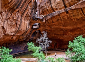
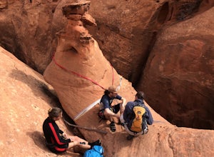
Canyoneering in Neon Canyon
13 mi / 1000 ft gainThis is an 8-12 hour technical adventure that is usually done as an overnight backpack. Consider hiring a local guide service such as Excursions of Escalante or Escalante Outfitters! We did this as a self-guided excursion. A group is recommended because you may experience keeper potholes dependin...Read more -
Lake Powell, Utah
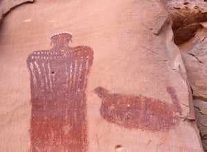
Hike Moqui Canyon
5.011.1 mi / 1614 ft gainHidden in Moqui Canyon is an ancient petroglyph site, with pictures of animals such as bighorn sheep. The long, shallow alcove hosting the petroglyphs was once an Ancestral Pueblo dwelling.Read more -
Kane County, Utah
Peek-a-Boo and Spooky Canyons
4.75.44 mi / 584 ft gainThis hike is located in the Grand-Staircase-Escalante Monument and the nearest town is Escalante, Utah. From Escalante, you take Hole-in-the-Rock Road 26 miles to the Dry Fork road turn-off. The Hole-in-the-Rock road It is a dirt road, and while I did see some sedans and minivans, I suggest a veh...Read more -
Kane County, Utah
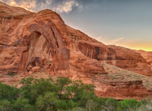
Hike to Broken Bow Arch
4.76.28 mi / 732 ft gainThe trailhead starts at the Willow Gulch Trailhead, located just off of Hole in the Rock Road in the Grand Staircase -Escalante National Monument. The coordinates for the trailhead are 37.324812,-111.023019. To get there head east on highway 12 out of Escalante, Utah until you get to Hole in the ...Read more -
Kane County, Utah
Hike Hole in the Rock
5.0Hole in the Rock is a historic site in Utah where the Mormon Pioneers had to dynamite a path down the mountain to get through to the Colorado River. The pathway at Hole in the Rock is still cleared out, and you get to hike through the path that these enduring people traveled, bringing wagons down...Read more -
Torrey, Utah
Camp at McMillan Springs In The Henry Mountains
McMillan Springs Campground is south of Hanksville, Utah and within the Henry Mountains, which run north and south between Canyonlands, and Capitol Reef National Parks. Situated at 8,400 feet, McMillan Springs Campground has moderate temperatures and is managed by the BLM, so fees are donation b...Read more -
Lake Powell, Utah
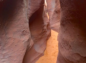
Blarney Slot Canyons
Who doesn’t enjoy a little slot canyon fun?!…Not far from Hanksville, Utah is this 1-mile round trip hike to one of Utah’s less visited slot canyons. Although Blarney Canyon is generally known for its canyoneering route, you can follow either the West or East Fork wash to get to the slots. You’ll...Read more -
Kane County, Utah
Reflection Canyon
5.015.24 mi / 1368 ft gainBackpacking Reflection Canyon is not for the faint of heart. It's an intense, challenging hike that takes you through slot canyons, climbing up and down shifty sandstones and traversing rugged terrains and ravines. Although the elevation gain is almost nothing, the up and down climbs from one rav...Read more

