Top Spots in and near Donut Falls Trailhead
-
Salt Lake City, Utah
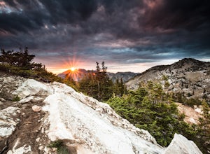
Any chance to get into the backcountry of the Wasatch Mountains is worth it. Many people day hike in the area, but not very many backpack in. The trail meets up with the Great Western Trail and overlooks Lake Catherine. The best place to camp is in the woods next to the lake. Hike down to the lak...
Read more
-
Salt Lake City, Utah
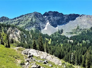
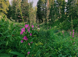
Catherine Pass is a must do if you are in the Salt Lake vicinity in July. The wildflowers are mind-blowing. But it’s a great hike to do in the Spring, after Alta Ski Resort has closed, and the Fall as well.
It costs $6 per vehicle to drive to the trailhead, or $10 per person to ride the lift (if...
Read more
-
Brighton, Utah
The trailhead begins at the Solitude Nordic Center. Walking around Silver Lake, you get a chance to observe the ducks and lovely wetlands area. This trail then leads you into the lower aspens, and if you are hiking just as fall colors have begun to emerge, they create a glowing effect in the wood...
Read more
-
Brighton, Utah
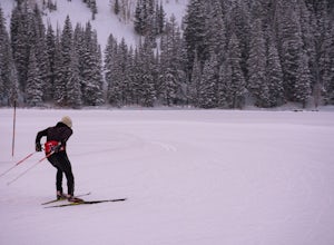
Located at the top of Big Cottonwood Canyon, Solitude Mountain Resort is known for it's quaint atmosphere and great downhill skiing. But for those who want to get away from the crowds, try something different, and get a great workout in the process, it also offers 20 Kilometers of groomed cross-...
Read more
-
Salt Lake City, Utah
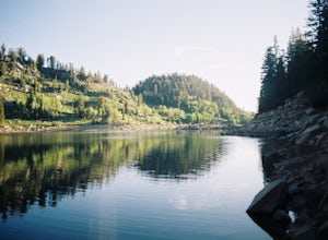
This quick hike to a beautiful lake in the Wasatch Mountains is perfect for the whole family. Park at the visitor center at the Silver Lake Recreation Area near Brighton Ski Resort, pick up a trail map and walk behind the building to find the trailhead. You can also pick up a wildflower guide at ...
Read more
-
Salt Lake City, Utah
Since this is a loop you can start at either end, but this is the way we did it. Start driving up Big Cottonwood Canyon. Enjoy the views and take in the impressive peaks on either side of the road. See the changes in vegetation as you gain elevation in the canyon. As you near the top and pass Sol...
Read more
-
Salt Lake City, Utah
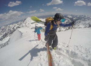
If you want to escape the crowds and get in some nice powder, then a hike up Guardsman Pass is well worth the effort. To reach the trail, park on the side streets just below the gates to avoid the no parking signs and keep your tires just on the road to avoid getting stuck.When you pack up your g...
Read more
-
Brighton, Utah
4.6
4.41 mi
/ 1253 ft gain
This trail is a local favorite because you can make it as hard or as easy as you want it to be! You can stop at the first lake which is only 1 mile from the parkinglot, or you can go to the top of one or more of the 5 peaks that are surrounding the lakes for an added challenge. It is 3.5 miles ro...
Read more
-
Salt Lake City, Utah
Park at the main parking lot at Brighton Ski Resort and head up the hill (under the Majestic Lift is a good place to start). Hiking is generally easy, even with snow on the ground, due to compaction of the snowpack during the daytime. However, snowshoeing and skinning with skis can be a good alte...
Read more
-
Alta, Utah
4.4
1.78 mi
/ 509 ft gain
Cecret Lake is reached by driving up Little Cottonwood Canyon to Albion Basin above Alta Ski Resort. The hike is just under 1 mile to the lake and should take about 30 minutes. The hike goes through fields full of wildflowers and wildlife is abundant. Moose, deer, and various wildlife can be s...
Read more
-
Sandy, Utah
5.0
6.94 mi
/ 1995 ft gain
Red Pine Lake, located in Red Pine Fork of the Wasatch Mountains, is one of the premier hiking and backpacking destinations in Little Cottonwood Canyon. Red Pine Fork is sandwiched in between White Pine Fork and Maybird Gulch to the east and west, respectively. All three are accessed via the Whit...
Read more
-
Sandy, Utah
4.5
9.97 mi
/ 2917 ft gain
Just about 5 miles (2-2.5 hrs) from the trailhead, you will find the beautiful White Pine Lake where the water is an intense blue color. It's an amazing place for photos and just hanging out on a summer or fall afternoon. Along the way you will have great views of mountains of all colors, beautif...
Read more
-
Salt Lake City, Utah
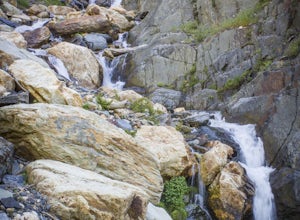
Drive up Big Cottonwood Canyon for around 2.8 miles, parking will be along the road and there will be a large rock waterfall on the right hand side of the road. The trailhead is just a short distance from that rock fall (40.623824, -111.743208)Stairs Gulch is an easy, short hike, unless you're lo...
Read more
-
Salt Lake City, Utah
Do you like hiking? In ski boots? Good.You start the hike from the gate to Snowbird at the EBT near the top of the Sugarloaf lift. The start of the bootpack is at 10,500 ft of elevation. From there, follow the likely well established boot pack to the top of Baldy. There is one rather steep sectio...
Read more
-
Salt Lake City, Utah
5.0
8.3 mi
/ 3375 ft gain
To get to the trailhead, drive up Millcreek Canyon about 4.5 miles until you reach the Terraces Picnic area. Turn here and drive up the small road until you reach the parking lot by the bathrooms. You'll see the Bowman Fork trailhead marker next to the parking lot.
The trail climbs steadily and i...
Read more
-
Sandy, Utah
Starting at the White Pine Trailhead in Little Cottonwood Canyon, UT, hike southwest until reaching the junction to Red Pine Canyon. Take the trail that crosses the stream and continues west around the ridge. The trail will quickly turn south and begin to gain elevation. Continue west as you pass...
Read more

