Top Spots in and near Donut Falls Trailhead
-
10230 East Little Cottonwood Lane, Utah
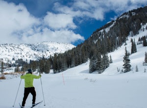
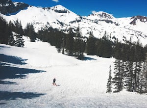
Drive up Little Cottonwood Canyon until the first entrance into Alta. Park in the Collins lift parking lot, throw your boots on, and head over to the nordic track. Its just next to the tow rope that runs through Albion Basin. Now thats left to do is to step into your skis and ski. The track has a...
Read more
-
Alta, Utah
4.9
2.86 mi
/ 696 ft gain
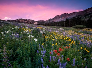
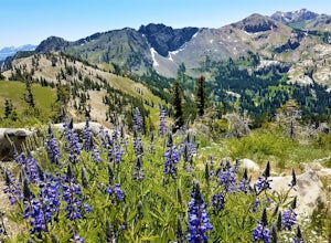
At Albion Basin, wildflowers you will see include lupine, Indian paintbrush, American bistort, sunflowers, fireweed, and many more!
Drive to the very top of Little Cottonwood Canyon and park at the Albion Grill. There is a trail just behind the Grill that takes you through a variety of wildflowe...
Read more
-
Alta, Utah
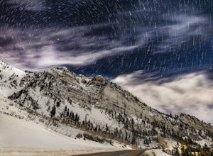
From the base of Little Cottonwood Canyon, follow the road approximately 7 miles until you reach the area between the Snowbird and Alta ski resorts. Looking north, several mountain peaks are visible, including both Mount Superior and Hellgate Spring.
The mountain face of Hellgate Spring (GPS coor...
Read more
-
Alta, Utah
4.9
4.48 mi
/ 1214 ft gain
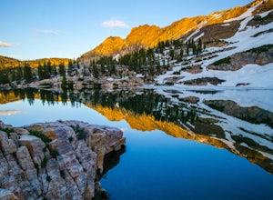
The out-and-back trail from Albion Basin to Cecret Lake climbs a gentle slope and along the way there are interpretive signs with information about the basin, its plants, animals and geology. From the lake you can return the same way you came, or explore the area more.
If you head there during t...
Read more
-
Alta, Utah
Still have the skiing itch but it's late in the spring and the resorts have closed and the other backcountry skiing areas have melted? No problem, just head up to Alta Ski Area and get some amazing backcountry corn skiing laps in.
Drive up Little Cottonwood Canyon all the way to the top and park...
Read more
-
Salt Lake County, Utah
4.5
6.76 mi
/ 2766 ft gain
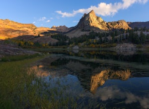
The hike is only 6 miles roundtrip, but it's pretty steep the whole way. It will take about 1.5 - 2 hrs to get up and about 45 min - 1hr to get back down. This can be longer depending on weather conditions and if you choose to loop the lake. At the Mills B Trailhead, you will head to the far end ...
Read more
-
Salt Lake County, Utah
5.0
9.52 mi
/ 4098 ft gain
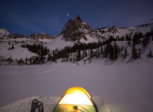
This is a popular hike all year round, but less popular in the winter. If you’re backpacking you’ll most likely be alone. In winter, the lake is covered in snow, but Sundial Peak is one of the most picturesque mountains in the Wasatch. Especially when it is dusted with snow. You’ll also be far en...
Read more
-
Salt Lake County, Utah
5.0
8.57 mi
/ 4984 ft gain
The Broads Fork trailhead starts in Big Cottonwood Canyon in the same parking lot as the Lake Blanche trailhead. This trailhead is on the west side of the parking lot.
The trail is marked and easy to follow for a good chunk of the way. You will come to a big basin and alpine meadow where you wil...
Read more
-
Sandy, Utah
4.5
4.5 mi
/ 1800 ft gain
Approach: Start by parking on the side of the road just above the Snowbird Cliff Lodge. Then there will be some bushwhacking as you work your way up the southern slopes of Mount Superior following the path of least resistance until reaching the winter avalanche path under the south face and to th...
Read more
-
Salt Lake City, Utah
4.0
5.1 mi
/ 2083 ft gain
The Broads Fork trailhead starts in Big Cottonwood Canyon in the same parking lot as the Lake Blanche trailhead, this trailhead is on the west side of the parking lot. The trail is very easy to follow and is well marked.
Follow the trail until you come to a great big basin. Here you will be able...
Read more
-
Salt Lake City, Utah
Lake Blanche is an extremely popular hike along the Wasatch Range in Utah. During the summer and fall months the lake, wildlife, flowers, and Sundial Peak as a backdrop offer spectacular views.Lake Blanche is one of the most beautiful and scenic lakes in Utah and turns into a winter wonderland on...
Read more
-
Salt Lake County, Utah
4.2
0.16 mi
/ 138 ft gain
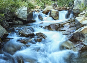
Hidden Falls is a beautiful little waterfall with minimal crowds. When I say minimal, I mean I've only seen another person there 1 of the 5 or 6 times that I have been. Take it in. Stay a while. Scramble around the small canyon for different perspectives of the falls or the creek. If you don't ha...
Read more
-
Sandy, Utah
5.0
0.6 mi
/ 1245 ft gain
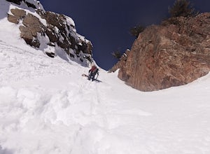
First of all it's not as scary as it sounds, or as scary as it looks. That being said it's a steep chute in dangerous avalanche terrain so only experienced skiers with backcountry skiing knowledge/equipment should attempt this route.Suicide Chute is located on the South face of Mt. Superior in L...
Read more
-
Sandy, Utah
Little Cottonwood Creek flows right through Snowbird Ski Resort and there are a few beautiful locations to go shoot the river at. The best place to start hiking down the river is right by where the tram takes off. That is just below the Cliff Lodge and right by the Peruvian Lift. There's a res...
Read more
-
Brighton, Utah
Silver Lake is one of the easiest, most accessible hikes in the Wasatch, located at the top of Big Cottonwood Canyon, Utah, close to the ski resorts of Brighton and Solitude.The lake is accessible all year; with a boardwalk or a well-signed path circling the lake through spring to fall. In the wi...
Read more
-
Salt Lake City, Utah
This mountain can be conquered two ways and is a great after-work adventure to watch the sunset, an early morning trail run, or a fun family challenge. The trail is 4 miles and 1,425 feet elevation gain (from the Alta side) or 6 miles and 2,050 feet (from the Brighton side).
Both routes converge ...
Read more

